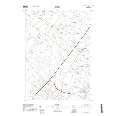
2021 Map of Old Orchard Beach
USGS Topo · Published 2021About this map
Saco Bay and the coastal hinterlands of York and Cumberland Counties are defined by a complex network of waterways and early family homesteads. The terrain transitions from the marshy expanse of The Heath and Sandy Brook toward the Atlantic, shaped by numerous drainages like the Nonesuch River and Goosefare Brook. The landscape is dotted with small-scale industrial and agricultural markers, such as the Milliken McKenney Lot and Milliken Mills, illustrating the localized economic activity that once thrived along these watercourses.
Find a feature on this map
199 named features on this map. Tap any name to fly to it.
Don’t see what you’re looking for? This feature index may not catch every label — zoom into the map to look around manually.
Map Details
Editions of this 2021 Old Orchard Beach Map
This is the sole edition of this map. No revisions or reprints were ever made.
Other maps of this area

1891 · Portland
USGS Topo · 1:62,500

1891 · Biddeford
USGS Topo · 1:62,500

1891 · Kennebunk
USGS Topo · 1:62,500

1891 · Buxton
USGS Topo · 1:62,500

1892 · Buxton
USGS Topo · 1:62,500

1893 · Kennebunk
USGS Topo · 1:62,500

1893 · Biddeford
USGS Topo · 1:62,500

1893 · Portland
USGS Topo · 1:62,500

1893 · Buxton
USGS Topo · 1:62,500

1898 · Kennebunk
USGS Topo · 1:62,500