2020s Maps of Eliot, Maine
Explore 6 historic maps of Eliot from the 2020s. These maps offer a rare glimpse into what life looked like during the 2020s — showing old roads, neighborhoods, homes, and landmarks that have changed or disappeared over time.
Whether you're researching your family's past, planning a metal detecting trip, or studying how Eliot's landscape evolved across the 2020s, these high-resolution maps are a powerful tool for exploring the history of this region.
- Focus on a specific era: All maps on this page are from the 2020s, giving you a focused view of this time period.
- See what’s changed: Compare century-old streets, trails, and buildings to today's modern landscape using overlays and satellite layers.
- Research with precision: Use these maps for genealogy, historical research, land use analysis, or educational projects.
- View, download, or print: Maps are fully viewable online in high resolution, and can be downloaded or printed for your own records.
Start exploring Eliot's history through authentic maps from the 2020s. This is your window into the past.
Eliot, ME maps
(6)- 2021 Map of Dover East, 2021 Print
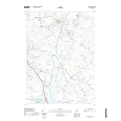 2021 Dover East2021 Print · USGSCovers Eliot, including Dover, York, and other nearby areas
 - 2021 Map of Portsmouth, 2021 Print
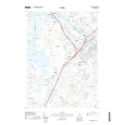 2021 Portsmouth2021 Print · USGSCovers Eliot, including Dover, Portsmouth, and other nearby areas
 - 2021 Map of York Harbor, 2021 Print
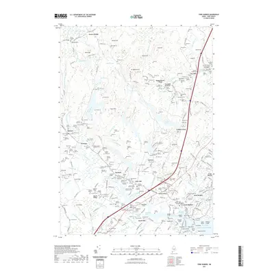 2021 York Harbor2021 Print · USGSCovers Eliot, including York, Kittery, and other nearby areas
 - 2024 Map of York Harbor, 2024 Print
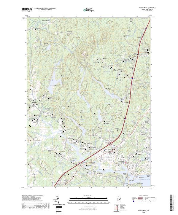 2024 York Harbor2024 Print · USGSThe Maine coast near York Harbor is presented here in high detail, showcasing the region's unique blend of seaside villages and inland family tracts. Researchers can trace historic family lineages through features like the Old Burying Yard, Brixham, and the Jellison Lot.
 - 2024 Map of Dover East, 2024 Print
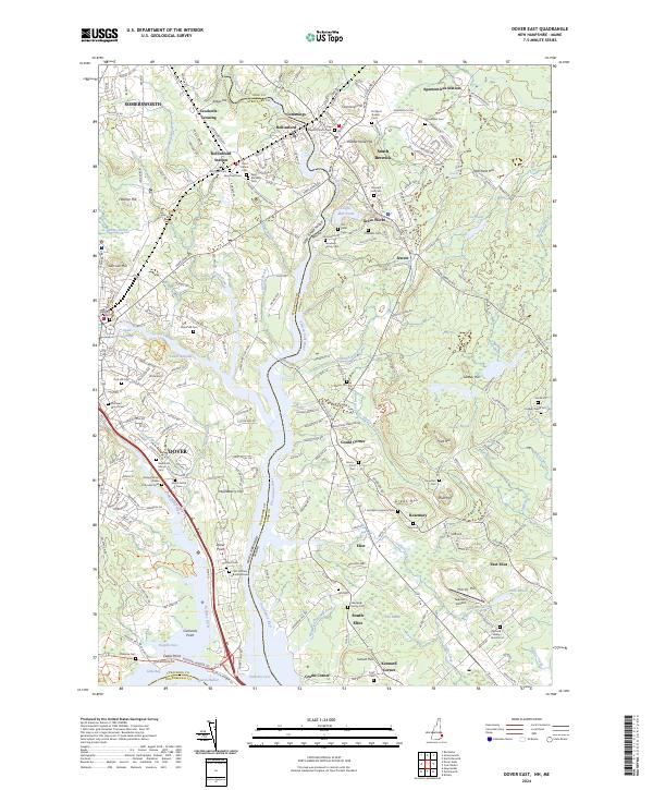 2024 Dover East2024 Print · USGSThe Piscataqua and Salmon Falls rivers converge in this modern survey of the New Hampshire-Maine border. Family researchers can trace dozens of historic burial sites, from the First Settlers Burial Ground to the Old Town Cem and Saint Michaels Cem.
 - 2024 Map of Portsmouth, 2024 Print
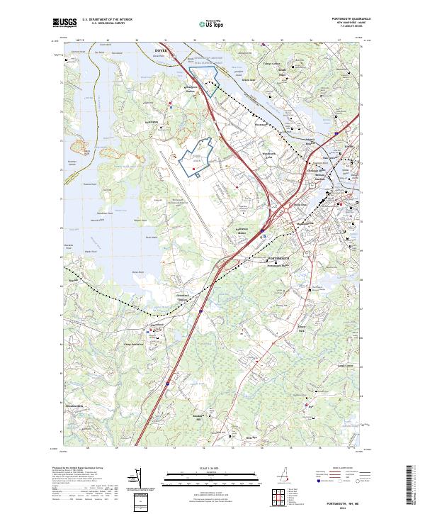 2024 Portsmouth2024 Print · USGSPortsmouth and the Seacoast region are shown at their modern height, balancing deep maritime history with significant military and industrial hubs. Genealogists can locate family burial sites like the Spinney Plot and Rice Cem or trace the early paths of Winnicut Mills.
End of results
Showing maps 1-6 of 6
Top cities near Eliot
- Dover historical maps
- Rochester historical maps
- Biddeford historical maps
- Sanford historical maps
- Portsmouth historical maps
- Hampton historical maps
See more
Top neighborhoods of Eliot
- Crams Corner historical maps
- East Eliot historical maps
- Gould Corner historical maps
- Kennard Corner historical maps
- Rosemary historical maps
- Tobeys Corner historical maps
See more
Frequently asked questions
- What are the different types of historical maps available for Eliot?
- What is the oldest map of Eliot?
- Where can I purchase historical maps of Eliot for my home or office?
- Where can I download high-res historical maps of Eliot?
- Are there historical topographic maps available for Eliot?
- Is there historical aerial imagery available for Eliot?
- Where are historical maps of Eliot sourced from?