Old Maps of Pepperell Square, Saco for Metal Detecting
Plan your next treasure hunt with 17 historic maps of Pepperell Square. Find old homesites, ghost towns, trails, and gathering spots that may be lost to time — perfect for identifying promising metal detecting locations.
- Locate forgotten sites: Uncover places like long-lost settlements, abandoned rail lines, or gathering spots.
- Plan better hunts: Use map overlays combined with LiDAR or satellite views to narrow in on historically rich areas.
- Made for detectorists: Thousands of hobbyists use these maps to discover relics, coins, and hidden history.
Use these historic maps to boost your research and find new opportunities beneath the surface of Pepperell Square.
Pepperell Square, Saco maps
(17)- 1891 Map of Biddeford
 1891 Biddeford1891 Print · USGSCoastal Maine in the 1890s is defined by the vital rail corridors and working harbors of York County. Researchers can trace the early industrial development of Biddeford, locate family landmarks near Oak Ridge, and explore the maritime layout of Kennebunkport and its lighthouses.
 - 1893 Map of Biddeford
 1893 Biddeford1893 Print · USGSCoastal Maine during the late Victorian era is captured here at the height of its rail-and-sea economy. Genealogists and local historians can trace the early footprints of Biddeford, the busy docks of Cape Porpoise, and maritime landmarks like Wood Island Light.7 unique versions available
 - 1941 Map of Biddeford, 1952 Print
 1941 Biddeford1952 Print · USGSThe York County coastline during the early years of the war reveals a landscape of tidal harbors and rural school districts. Genealogists and historians can locate family plots at Laurel Hill Cem or trace old routes like Guinea Road past the Nott Sch.2 unique versions available
 - 1944 Map of Biddeford
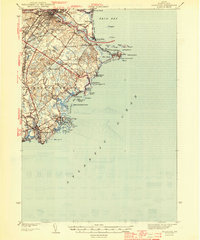 1944 Biddeford1944 Print · USGSCoastal York County at the start of the 1940s reveals a blend of textile-mill industry, storied summer resorts, and rugged maritime life. Researchers can trace the old schoolhouse network including Nell Sch, the grounds of St Francis College, and the waterfront at Cape Porpoise.2 unique versions available
 - 1949 Map of Portland
 1949 Portland1949 Print · USGSCoastal Maine and the New Hampshire interior are shown in detail during the late forties, from the bustling harbors to the lakeside villages. Researchers can trace historical rail networks like the Boston & Maine RR and locate coastal defenses such as Fort Preble.3 unique versions available
 - 1956 Map of Biddeford, 1958 Print
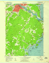 1956 Biddeford1958 Print · USGSCoastal Maine in the mid-fifties reveals a busy landscape of mill-town industry and seaside colonies. Trace family history through Arundel Cem or explore the transit history of Millers Crossing and the local Trolley Museum.4 unique versions available
 - 1956 Map of Biddeford, 1960 Print
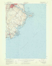 1956 Biddeford1960 Print · USGSThe industrial centers of the Saco River valley and the rugged York County coastline come to life in the mid-fifties. Researchers can trace family-named landmarks like Walkers Point, find local heritage sites like Stella Maris Convent, or locate the Wood Island Lighthouse guarding the harbor.2 unique versions available
 - 1956 Map of Portland, 1963 Print
 1956 Portland1963 Print · USGSSouthern Maine and eastern New Hampshire are captured here in the mid-fifties, during a time of major highway expansion and military growth. You can trace the path of the Maine Turnpike and locate landmarks like the Portsmouth Naval Shipyard and Sebago Lake.4 unique versions available
 - 1959 Map of Portland
 1959 Portland1959 Print · USGSThe Maine and New Hampshire coastlines meet in this mid-century portrait of maritime commerce and inland rail networks. Researchers can trace the legacy of coastal defense at Fort Williams and follow the historic path of the Maine Central RR through the White Mountain National Forest.2 unique versions available
 - 1963 Map of Portland
 1963 Portland1963 Print · USGSCoastal Maine and New Hampshire thrived as maritime and industrial hubs during the mid-sixties, linked by a dense network of rail and river. Researchers can trace historic transit corridors like the Maine Central RR and locate key sites such as the Portsmouth Naval Shipyard or Pease Air Force Base.3 unique versions available
 - 1975 Map of Biddeford, 1979 Print
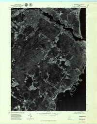 1975 Biddeford1979 Print · USGSCoastal Maine in the mid-seventies is revealed through this aerial orthophotoquad of the shoreline and its interior settlements. Genealogists and historians can trace the 1975 footprints of Biddeford, Guinea Road Corner, and the rocky inlets of Fortunes Rocks.
 - 1985 Map of Kittery, 1986 Print
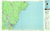 1985 Kittery1986 Print · USGSThe Maine and New Hampshire borderlands are shown here in the mid-eighties, centered on the strategic Piscataqua River harbor. Genealogists and historians can trace the development of coastal towns like York or locate the sprawling Portsmouth Naval Shipyard and Pease Air Force Base.2 unique versions available
 - 2011 Map of Biddeford, 2011 Print
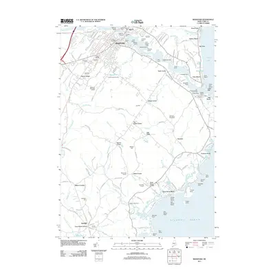 2011 Biddeford2011 Print · USGSCoastal Maine at the turn of the decade shows the industrial and academic growth of the Biddeford area. Genealogists and local researchers can trace family plots in Laurel Hill Cemetery or explore the historic crossroads of Guinea Corner and Town House Corners.
 - 2014 Map of Biddeford, 2014 Print
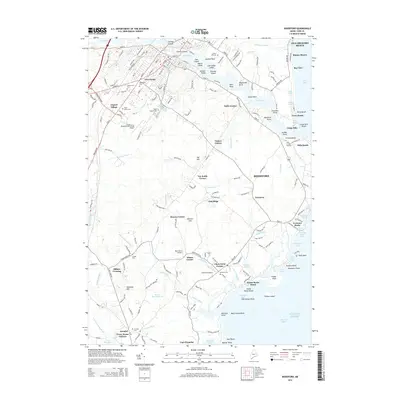 2014 Biddeford2014 Print · USGSThe York County coast comes into sharp focus during this mid-2010s survey, showing the deep-rooted geography of Biddeford and its seaside neighborhoods. Researchers can trace historic family burial sites at Laurel Hill Cem or locate regional landmarks like Clock Farm Corner and Millers Crossing.
 - 2018 Map of Biddeford, 2018 Print
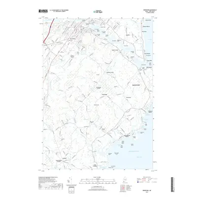 2018 Biddeford2018 Print · USGSThis coastal Maine corridor near the end of the twenty-tens shows the dense urban centers of Saco and Biddeford transitioning to iconic shorelines. Genealogists and researchers can locate numerous cemeteries like Laurel Hill Cem or trace the Pan Am Railways as it cuts past Five Points.
 - 2021 Map of Biddeford, 2021 Print
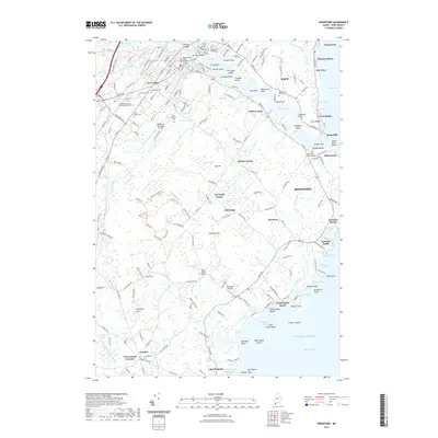 2021 Biddeford2021 Print · USGSCoastal Maine at the turn of the 2020s shows the enduring character of its river-fed cities and Atlantic shorelines. Genealogists and local historians can trace family plots in Laurel Hill Cem or explore the harbor layout of Cape Porpoise and Camp Ellis.
 - 2024 Map of Biddeford, 2024 Print
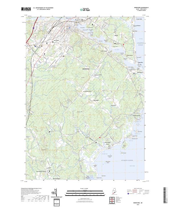 2024 Biddeford2024 Print · USGSThe York County coast comes into sharp focus in this contemporary survey of the Saco River estuary and the city of Biddeford. Genealogists and historians can trace numerous burial sites like Laurel Hill Cem and old crossroads such as Tea Kettle Corner and Town House Corners.
End of results
Showing maps 1-17 of 17
Frequently asked questions
- What are the different types of historical maps available for Pepperell Square?
- What is the oldest map of Pepperell Square?
- Where can I purchase historical maps of Pepperell Square for my home or office?
- Where can I download high-res historical maps of Pepperell Square?
- Are there historical topographic maps available for Pepperell Square?
- Is there historical aerial imagery available for Pepperell Square?
- Where are historical maps of Pepperell Square sourced from?