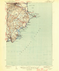
1944 Map of Biddeford
USGS Topo · Published 1944About this map
The Saco River defines the industrial heart of this York County coast during the early 1940s, separating the bustling centers of Saco and Biddeford. While the urban core shows dense development and the reach of the Boston and Maine Railroad, the shoreline reveals a landscape of summer colonies and maritime activity. Places like Ocean Park, Bayview, and Camp Ellis line the curve of Saco Bay, while further south, the intricate archipelago near Cape Porpoise and Kennebunkport is guarded by a Coast Guard Station and the Goat Island lighthouse.
Find a feature on this map
67 named features on this map. Tap any name to fly to it.
Don’t see what you’re looking for? This feature index may not catch every label — zoom into the map to look around manually.
Map Details
Editions of this 1944 Biddeford Map
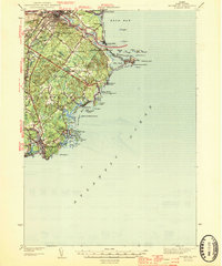
2 editions found
Other maps of this area

1891 · Portland
USGS Topo · 1:62,500

1891 · Biddeford
USGS Topo · 1:62,500

1891 · Kennebunk
USGS Topo · 1:62,500

1891 · Buxton
USGS Topo · 1:62,500

1892 · Buxton
USGS Topo · 1:62,500

1893 · Kennebunk
USGS Topo · 1:62,500

1893 · York
USGS Topo · 1:62,500

1893 · Biddeford
USGS Topo · 1:62,500

1893 · Portland
USGS Topo · 1:62,500

1893 · Casco Bay
USGS Topo · 1:62,500