1950s Maps of Wells, Maine
Explore 9 historic maps of Wells from the 1950s. These maps offer a rare glimpse into what life looked like during the 1950s — showing old roads, neighborhoods, homes, and landmarks that have changed or disappeared over time.
Whether you're researching your family's past, planning a metal detecting trip, or studying how Wells's landscape evolved across the 1950s, these high-resolution maps are a powerful tool for exploring the history of this region.
- Focus on a specific era: All maps on this page are from the 1950s, giving you a focused view of this time period.
- See what’s changed: Compare century-old streets, trails, and buildings to today's modern landscape using overlays and satellite layers.
- Research with precision: Use these maps for genealogy, historical research, land use analysis, or educational projects.
- View, download, or print: Maps are fully viewable online in high resolution, and can be downloaded or printed for your own records.
Start exploring Wells's history through authentic maps from the 1950s. This is your window into the past.
Wells, ME maps
(9)- 1956 Map of North Berwick, 1958 Print
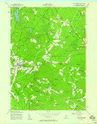 1956 North Berwick1958 Print · USGSSouthern Maine's transition from rail-era industry to mid-century rural life is captured here in the mid-fifties. Researchers can locate vanished landmarks like Zebulon Knight Hall, the Bethel Gospel Mission, and old stops along the Boston and Maine Railroad.3 unique versions available
 - 1956 Map of York Beach, 1958 Print
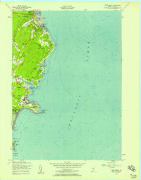 1956 York Beach1958 Print · USGSThe York and Ogunquit coastlines are captured here in the mid-fifties, showing the classic Maine shoreline of summer colonies and working harbors. You can trace early settlement patterns near Concordville, locate the Cape Neddick Lighthouse, and follow the old Railroad Grade.3 unique versions available
 - 1956 Map of Wells, 1958 Print
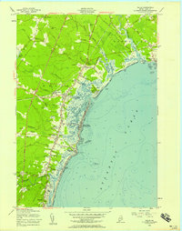 1956 Wells1958 Print · USGSThe Maine coastline during the mid-fifties shows a world of established summer colonies and salt marshes. Genealogists and local historians can trace family landmarks at Charles Chase Corner and Mildram Hill, or locate the Ocean View Cemetery and Evergreen Cemetery.5 unique versions available
 - 1956 Map of Kennebunkport, 1958 Print
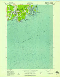 1956 Kennebunkport1958 Print · USGSCoastal Maine in the mid-fifties comes alive through this survey of seafaring villages and tidal inlets. Researchers can locate family landmarks from Grist Mill Pond to the Wildes District Sch, and trace the shoreline past the Goat Island Lighthouse.4 unique versions available
 - 1956 Map of Kennebunk, 1959 Print
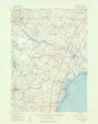 1956 Kennebunk1959 Print · USGSCoastal York County during the mid-fifties shows a fascinating mix of old mill culture and new turnpike development. Researchers can trace family history through dozens of named locations like Hobbs Crossing, Parsonage Corner, and Bartlett Mills.4 unique versions available
 - 1956 Map of York, 1960 Print
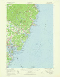 1956 York1960 Print · USGSThe Maine coastline in the mid-fifties shows a world of historic harbor defenses and growing seaside resorts. Genealogists can trace family names at Brixham Upper Corners, locate the First Parish Ch, and explore the shoreline from York Cliffs to Kittery.4 unique versions available
 - 1956 Map of Biddeford, 1960 Print
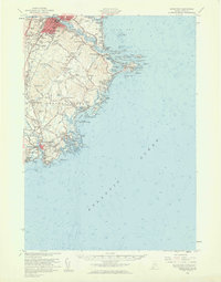 1956 Biddeford1960 Print · USGSThe industrial centers of the Saco River valley and the rugged York County coastline come to life in the mid-fifties. Researchers can trace family-named landmarks like Walkers Point, find local heritage sites like Stella Maris Convent, or locate the Wood Island Lighthouse guarding the harbor.2 unique versions available
 - 1956 Map of Portland, 1963 Print
 1956 Portland1963 Print · USGSSouthern Maine and eastern New Hampshire are captured here in the mid-fifties, during a time of major highway expansion and military growth. You can trace the path of the Maine Turnpike and locate landmarks like the Portsmouth Naval Shipyard and Sebago Lake.4 unique versions available
 - 1959 Map of Portland
 1959 Portland1959 Print · USGSThe Maine and New Hampshire coastlines meet in this mid-century portrait of maritime commerce and inland rail networks. Researchers can trace the legacy of coastal defense at Fort Williams and follow the historic path of the Maine Central RR through the White Mountain National Forest.2 unique versions available
End of results
Showing maps 1-9 of 9
Top cities near Wells
- Dover historical maps
- Biddeford historical maps
- Sanford historical maps
- Scarborough historical maps
- Portsmouth historical maps
- Saco historical maps
See more
Top neighborhoods of Wells
- Drakes Island historical maps
- Upper Landing historical maps
- Wells Beach historical maps
- Cozy Corners historical maps
- Parsonage Corner historical maps
- Tatnic historical maps
See more
Frequently asked questions
- What are the different types of historical maps available for Wells?
- What is the oldest map of Wells?
- Where can I purchase historical maps of Wells for my home or office?
- Where can I download high-res historical maps of Wells?
- Are there historical topographic maps available for Wells?
- Is there historical aerial imagery available for Wells?
- Where are historical maps of Wells sourced from?