2000s (21st Century) Maps of Towson, Maryland
Explore 20 historic maps of Towson from the 2000s (21st Century). These maps offer a rare glimpse into what life looked like during the 2000s — showing old roads, neighborhoods, homes, and landmarks that have changed or disappeared over time.
Whether you're researching your family's past, planning a metal detecting trip, or studying how Towson's landscape evolved across the 2000s, these high-resolution maps are a powerful tool for exploring the history of this region.
- Focus on a specific era: All maps on this page are from the 2000s, giving you a focused view of this time period.
- See what’s changed: Compare century-old streets, trails, and buildings to today's modern landscape using overlays and satellite layers.
- Research with precision: Use these maps for genealogy, historical research, land use analysis, or educational projects.
- View, download, or print: Maps are fully viewable online in high resolution, and can be downloaded or printed for your own records.
Start exploring Towson's history through authentic maps from the 2000s. This is your window into the past.
Towson, MD maps
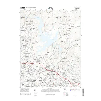
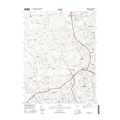
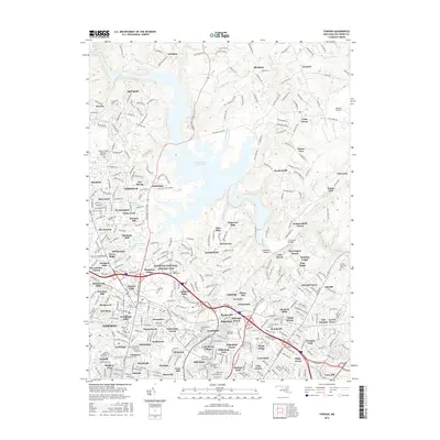
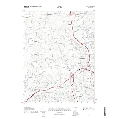
(20)- 2011 Map of Towson, 2011 Print
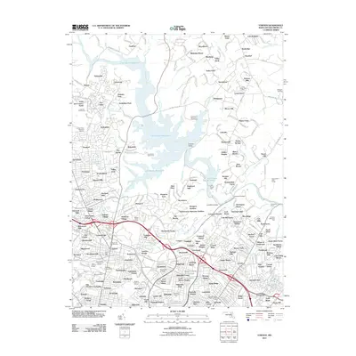 2011 Towson2011 Print · USGSCovers Towson, including Parkville, Carney, and other nearby areas
 - 2011 Map of Cockeysville, 2011 Print
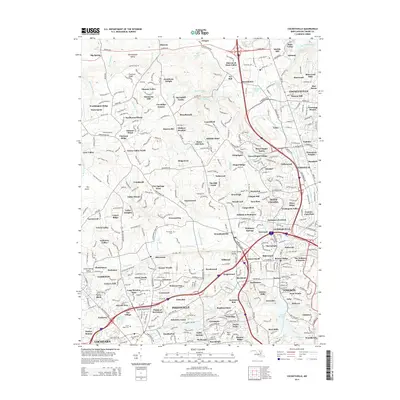
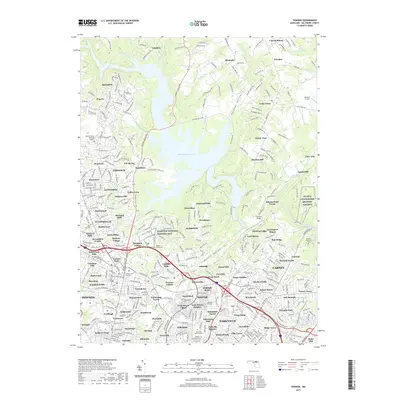
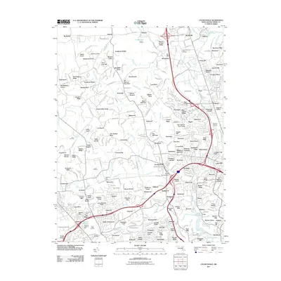 2011 Cockeysville2011 Print · USGSCovers Towson, including Cockeysville, Mays Chapel, and other nearby areas
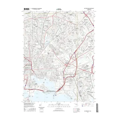
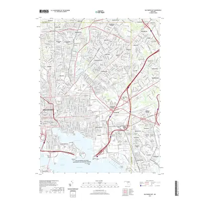
 - 2011 Map of Baltimore East, 2011 Print
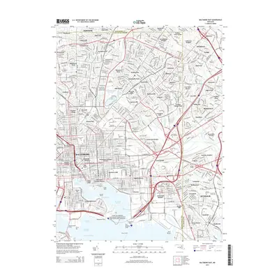
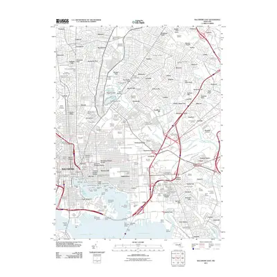 2011 Baltimore East2011 Print · USGSCovers Towson, including Baltimore, Dundalk, and other nearby areas
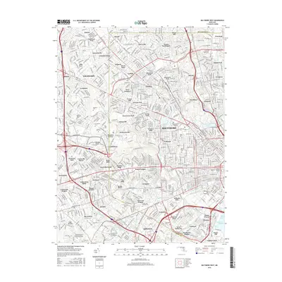
 - 2011 Map of Baltimore West, 2011 Print
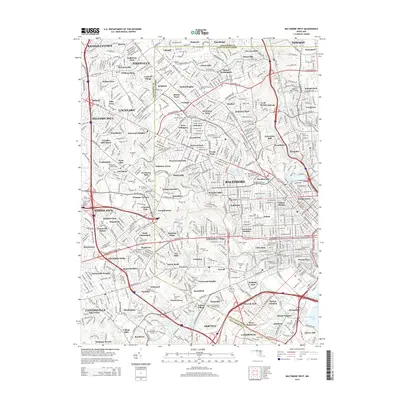
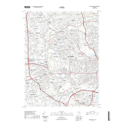
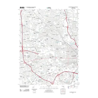 2011 Baltimore West2011 Print · USGSCovers Towson, including Catonsville, Woodlawn, and other nearby areas
 - 2014 Map of Towson, 2014 Print
 2014 Towson2014 Print · USGSCovers Towson, including Parkville, Carney, and other nearby areas
 - 2014 Map of Baltimore East, 2014 Print
 2014 Baltimore East2014 Print · USGSCovers Towson, including Baltimore, Dundalk, and other nearby areas
 - 2014 Map of Cockeysville, 2014 Print
 2014 Cockeysville2014 Print · USGSCovers Towson, including Cockeysville, Mays Chapel, and other nearby areas
 - 2014 Map of Baltimore West, 2014 Print
 2014 Baltimore West2014 Print · USGSCovers Towson, including Catonsville, Woodlawn, and other nearby areas
 - 2016 Map of Cockeysville, 2016 Print
 2016 Cockeysville2016 Print · USGSCovers Towson, including Cockeysville, Mays Chapel, and other nearby areas
 - 2016 Map of Baltimore West, 2016 Print
 2016 Baltimore West2016 Print · USGSCovers Towson, including Catonsville, Woodlawn, and other nearby areas
 - 2016 Map of Baltimore East, 2016 Print
 2016 Baltimore East2016 Print · USGSCovers Towson, including Baltimore, Dundalk, and other nearby areas
 - 2016 Map of Towson, 2016 Print
 2016 Towson2016 Print · USGSCovers Towson, including Parkville, Carney, and other nearby areas
 - 2019 Map of Cockeysville, 2019 Print
 2019 Cockeysville2019 Print · USGSCovers Towson, including Cockeysville, Mays Chapel, and other nearby areas
 - 2019 Map of Baltimore East, 2019 Print
 2019 Baltimore East2019 Print · USGSCovers Towson, including Baltimore, Dundalk, and other nearby areas
 - 2019 Map of Towson, 2019 Print
 2019 Towson2019 Print · USGSCovers Towson, including Parkville, Carney, and other nearby areas
 - 2019 Map of Baltimore West, 2019 Print
 2019 Baltimore West2019 Print · USGSCovers Towson, including Catonsville, Woodlawn, and other nearby areas
 - 2023 Map of Towson, 2023 Print
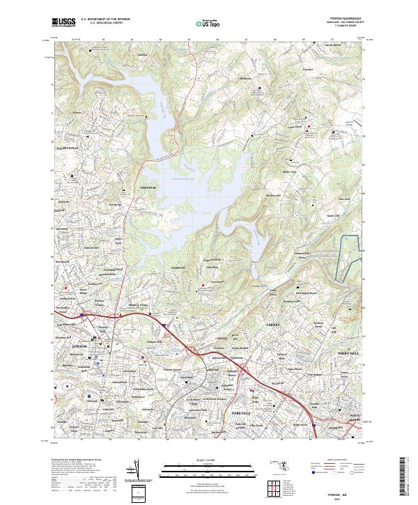 2023 Towson2023 Print · USGSBaltimore County's landscape near the Gunpowder Falls is captured here in its modern residential and preserved state. Genealogists can trace family footprints at the Merryman Family Cem, while historians can examine the Hampton National Historic Site and the legacy of Merrymans Mill.
 - 2023 Map of Cockeysville, 2023 Print
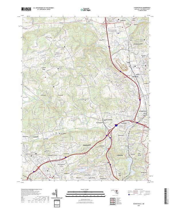 2023 Cockeysville2023 Print · USGSCockeysville and Pikesville are shown at the height of their modern suburban development in this late twenty-first-century record. Genealogists can trace family heritage through sites like the Hook Family Cem, Almshouse Cem, and the Sherwood Episcopal Church.
 - 2023 Map of Baltimore West, 2023 Print
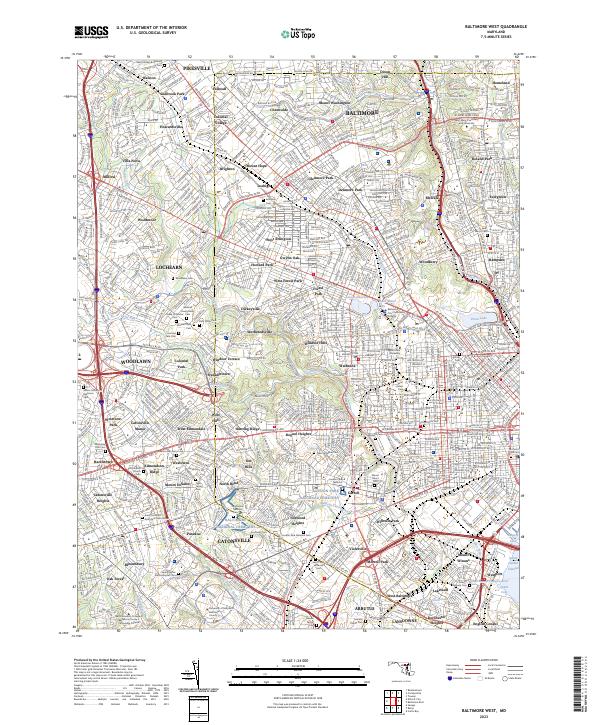 2023 Baltimore West2023 Print · USGSThe western neighborhoods of Baltimore and surrounding suburbs are captured here at a moment of dense urban development. Researchers can trace the grounds of Loudon Park National Cem, Coppin State University, and the historic homes of Roland Park.
 - 2023 Map of Baltimore East, 2023 Print
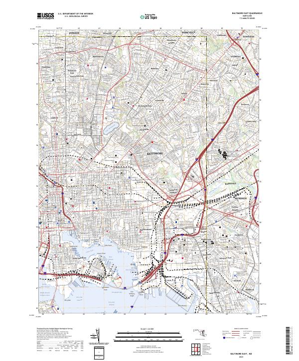 2023 Baltimore East2023 Print · USGSBaltimore and its eastern suburbs are shown here in the 2020s, highlighting the city's complex harbor and historic urban grid. Researchers can locate dozens of burial grounds like Saint Vincents Cem and explore the grounds of Fort McHenry and Johns Hopkins University.
End of results
Showing maps 1-20 of 20
Top cities near Towson
- Baltimore historical maps
- Dundalk historical maps
- Towson historical maps
- Ellicott City historical maps
- Catonsville historical maps
- Woodlawn historical maps
See more
Top neighborhoods of Towson
- Riderwood historical maps
- East Towson historical maps
- Towson Estates historical maps
- Ruxton historical maps
- Towson historical maps
- Pinehurst historical maps
See more
Frequently asked questions
- What are the different types of historical maps available for Towson?
- What is the oldest map of Towson?
- Where can I purchase historical maps of Towson for my home or office?
- Where can I download high-res historical maps of Towson?
- Are there historical topographic maps available for Towson?
- Is there historical aerial imagery available for Towson?
- Where are historical maps of Towson sourced from?