1900s (20th Century) Maps of Cherry Hill, Maryland
Explore 26 historic maps of Cherry Hill from the 1900s (20th Century). These maps offer a rare glimpse into what life looked like during the 1900s — showing old roads, neighborhoods, homes, and landmarks that have changed or disappeared over time.
Whether you're researching your family's past, planning a metal detecting trip, or studying how Cherry Hill's landscape evolved across the 1900s, these high-resolution maps are a powerful tool for exploring the history of this region.
- Focus on a specific era: All maps on this page are from the 1900s, giving you a focused view of this time period.
- See what’s changed: Compare century-old streets, trails, and buildings to today's modern landscape using overlays and satellite layers.
- Research with precision: Use these maps for genealogy, historical research, land use analysis, or educational projects.
- View, download, or print: Maps are fully viewable online in high resolution, and can be downloaded or printed for your own records.
Start exploring Cherry Hill's history through authentic maps from the 1900s. This is your window into the past.
Cherry Hill, MD maps
(26)- 1904 Map of Baltimore
 1904 Baltimore1904 Print · USGSMaryland's harbor city and its northern suburbs are shown in great detail shortly after the turn of the century. Genealogists and historians can trace the early growth of Sudbrook Park, the industrial footprint of Ashland Furnace, and the defensive grounds of Fort McHenry.8 unique versions available
 - 1907 Map of Relay
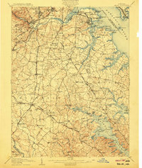 1907 Relay1907 Print · USGSAnne Arundel County and the Patapsco waterfront are shown here in the early nineteen-hundreds, as industry and maritime trade reshaped the Maryland coast. Genealogists and historians can trace rail lines and early settlements like Relay and Elkridge, or locate landmarks such as Fort Carroll and St. Stephens Church.8 unique versions available
 - 1908 Map of Patapsco
 1908 Patapsco1908 Print · USGSMaryland's central corridor at the opening of the twentieth century reveals a dense network of harbor defenses and rail-line economies. Genealogists and historians can trace the foundations of Baltimore alongside local landmarks like Ashland Furnace, St Charles College, and Fort McHenry.4 unique versions available
 - 1943 Map of Baltimore, 1963 Print
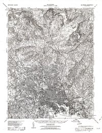 1943 Baltimore1963 Print · USGSMaryland's principal port city and the rolling hills of Baltimore County are shown here during the Second World War. Researchers can trace the heritage of the harbor and northern suburbs, identifying landmarks like Fort McHenry National Mon, Loudon Park National Cem, and the old Ashland Furnace.3 unique versions available
 - 1944 Map of Baltimore West
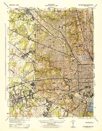 1944 Baltimore West1944 Print · USGSWestern Baltimore and its suburban fringes are frozen in time during the mid-1940s, showing a landscape of institutional campuses and growing streetcar suburbs. Genealogists and historians can locate family sites near Loudon Park Cemetery, St Agnes Hospital, and Pimlico Race Track.
 - 1944 Map of Baltimore
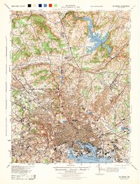 1944 Baltimore1944 Print · USGSMid-century Baltimore and its northern suburbs are shown in exceptional detail at the height of the war years. Local historians can trace the early footprints of Johns Hopkins University, the defenses at Fort McHenry, and the rural character of Green Spring Valley before modern development.
 - 1944 Map of Curtis Bay
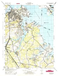 1944 Curtis Bay1944 Print · USGSCoastal Maryland during the war years reveals a landscape of massive military depots and burgeoning shorefront communities. Genealogists and historians can trace rail lines like the Baltimore and Annapolis and locate landmarks from Fort Armistead Park to Marley Station.
 - 1944 Map of Baltimore East
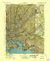 1944 Baltimore East1944 Print · USGSThe industrial heart of Baltimore pulses during the war years, from the busy docks of the Northwest Branch to the military grounds at Camp Holabird. Genealogists and historians can trace neighborhood growth in Highlandtown or locate historic institutions like Taylors Chapel and Notre Dame College.
 - 1944 Map of Relay
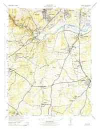 1944 Relay1944 Print · USGSMaryland's Patapsco River valley and the rail hubs south of Baltimore are captured here during the mid-forties. Researchers can trace historic church sites like Gaines Church, early industrial markers including the Distilleries near Relay, and named neighborhoods like English Consul.2 unique versions available
 - 1946 Map of Curtis Bay
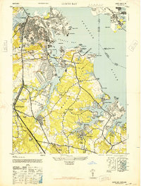 1946 Curtis Bay1946 Print · USGSThe Anne Arundel shoreline was a hub of military defense and industrial growth during the mid-forties. Genealogists and local historians can trace the development of beach communities like Lombardee Beach or locate ancestors in Mt Calvary Cemetery and Marley Neck Church.2 unique versions available
 - 1947 Map of Relay, 1954 Print
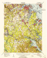 1947 Relay1954 Print · USGSMid-century Anne Arundel County is caught between its rail-and-river heritage and the rise of the jet age. Genealogists and local historians can trace the footprint of the Baltimore Friendship International Airport or locate family plots in Cedar Hill Cem and Arundel Cem.2 unique versions available
 - 1948 Map of Baltimore
 1948 Baltimore1948 Print · USGSMaryland and Pennsylvania crossroads are captured in the late 1940s, showing a landscape defined by historic rail lines and major military installations. Genealogists can trace family connections in Gettysburg, Westminster, and near the U.S. Naval Academy in Annapolis.2 unique versions available
 - 1949 Map of Curtis Bay, 1954 Print
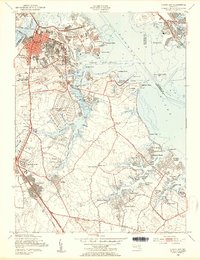 1949 Curtis Bay1954 Print · USGSMaryland's industrial waterfront and burgeoning suburbs are captured here at a mid-century peak of expansion. Trace the rail-and-river economy of the day through the U S Ordnance Depot, Masonville, and the many tracks of the Pennsylvania RR.2 unique versions available
 - 1950 Map of Relay
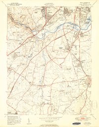 1950 Relay1950 Print · USGSMaryland's corridor between Baltimore and Anne Arundel County is captured here just as the post-war suburban and industrial expansion takes flight. Genealogists and local historians can trace the early layout of Friendship International Airport and find local landmarks like the Thomas Viaduct and All Saints Convent.2 unique versions available
 - 1953 Map of Baltimore West
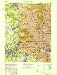 1953 Baltimore West1953 Print · USGSMid-century Baltimore and its western suburbs are caught in a moment of rapid postwar expansion and institutional growth. Genealogists and historians can trace family plots in Loudon Park Cemetery or locate landmarks like Pimlico Race Track and Curtis-Wright Airport.6 unique versions available
 - 1953 Map of Baltimore East
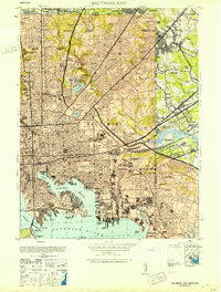 1953 Baltimore East1953 Print · USGSMid-century Baltimore thrives as a center of industry and education, from the bustling inner harbor to the emerging eastern suburbs. Researchers can trace the legacy of major institutions like Johns Hopkins University, the sprawling Camp Holabird, and the historic Fort McHenry.5 unique versions available
 - 1954 Map of Baltimore
 1954 Baltimore1954 Print · USGSThe Mid-Atlantic region in the early fifties shows a landscape of growing suburban centers and heavy rail corridors. Trace mid-century transit networks and military landmarks from the Aberdeen Proving Ground to the Gettysburg National Military Park.
 - 1956 Map of Baltimore
 1956 Baltimore1956 Print · USGSMid-century Maryland and Pennsylvania are captured here during a period of massive suburban and military growth across the Chesapeake region. Genealogists and historians can trace the rail corridors of the Baltimore & Ohio RR and locate landmarks like Fort McHenry or the Aberdeen Proving Ground.
 - 1957 Map of Relay, 1960 Print
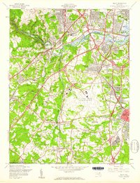 1957 Relay1960 Print · USGSMaryland's corridor between Baltimore and the suburbs was rapidly evolving in the late fifties, shaped by major infrastructure and aviation. Genealogists can trace family roots through United Hebrew Cemetery, Severn Sch, and many small communities like Relay and Harmans.5 unique versions available
 - 1957 Map of Curtis Bay, 1960 Print
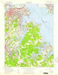 1957 Curtis Bay1960 Print · USGSThe industrial waterfront of South Baltimore and the emerging suburbs of Anne Arundel County are shown here during the late fifties growth spurt. Genealogists and local researchers can trace family roots through sites like Cedar Hill Cem, Harundale, and the Curtis Bay Army Ordnance Depot.2 unique versions available
 - 1957 Map of Baltimore, 1964 Print
 1957 Baltimore1964 Print · USGSMaryland and Southern Pennsylvania are shown during the mid-century expansion of the Baltimore-Washington corridor. Researchers can trace the extensive rail lines of the Baltimore & Ohio RR and locate sites like Fort Detrick and Gettysburg National Military Park.5 unique versions available
 - 1961 Map of Baltimore
 1961 Baltimore1961 Print · USGSMaryland and Pennsylvania are captured at a mid-century peak of industrial and military expansion. Genealogists and historians can trace rail corridors like the Western Maryland Ry or locate regional landmarks such as Camp Detrick and Kent Island.
 - 1969 Map of Curtis Bay, 1971 Print
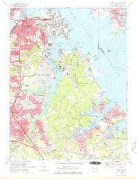 1969 Curtis Bay1971 Print · USGSThe northern reaches of Anne Arundel County are captured in the late sixties as industrial growth met a rising suburban waterfront. Genealogists and historians can trace family roots through numerous sites like Cedar Hill Cemetery, Sollys Cem, and schools from Harundale to Brooklyn Park.2 unique versions available
 - 1981 Map of Relay, 1986 Print
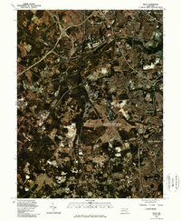 1981 Relay1986 Print · USGSMaryland's transportation corridor is captured in the early eighties as suburban expansion and aviation infrastructure began to reshape the region. Trace the footprints of Relay and Linthicum Heights or the massive layout of the Baltimore Washington International Airport.
 - 1984 Map of Baltimore
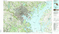 1984 Baltimore1984 Print · USGSThe Baltimore and Annapolis corridor in the mid-eighties shows a landscape of rapid suburban growth and deep-seated maritime history. Researchers can trace the massive footprints of the U S Naval Academy, Fort George G Meade, and Goddard Space Flight Ctr.
Showing maps 1-25 of 26
Frequently asked questions
- What are the different types of historical maps available for Cherry Hill?
- What is the oldest map of Cherry Hill?
- Where can I purchase historical maps of Cherry Hill for my home or office?
- Where can I download high-res historical maps of Cherry Hill?
- Are there historical topographic maps available for Cherry Hill?
- Is there historical aerial imagery available for Cherry Hill?
- Where are historical maps of Cherry Hill sourced from?