Old Maps of Marydel, Maryland for Hiking & Exploration
Hike through history with 20 historic maps of Marydel. Explore old trails, ghost towns, and forgotten backroads — perfect for outdoor adventurers and local explorers.
- Rediscover forgotten places: Map out old mining camps, roads, and footpaths that no longer exist on modern maps.
- Layer with modern tools: Combine with LiDAR or satellite views to plan hikes through historical terrain.
- Made for exploration: Popular among hikers, overlanders, and local history lovers.
Use these maps to find adventure and explore the hidden past of Marydel.
Marydel, MD maps
(20)- 1899 Map of Dover
 1899 Dover1899 Print · USGSDelaware and Maryland river country thrived in the late nineteenth century as a network of landings and rail lines. Trace old wharves at Cassidy Ldg., explore the area around Bohemia Mills, or locate maritime landmarks like Bombay Hook Light.2 unique versions available
 - 1906 Map of Dover
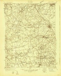
 1906 Dover1906 Print · USGSCentral Delaware and Maryland's Eastern Shore appear at the start of the twentieth century, focused on the bustling rail-and-river economy. Genealogists can trace old family landing sites and crossroads villages like Bohemia Mills, Deakyneville Ldg., and Seven Hickories.3 unique versions available
 - 1920 Map of Dover
 1920 Dover1920 Print · USGSThe Maryland and Delaware borderlands at the end of the Great War reveal a landscape of tidewater landings and evolving rail lines. Trace family roots and vanished wharves through Fredericktown, the Mason and Dixon Line, and the Bombay Hook Light.
 - 1926 Map of Wyoming
 1926 Wyoming1926 Print · USGSCentral Delaware in the mid-twenties shows a landscape defined by the Pennsylvania RR and a dense network of rural schoolhouses. Researchers can locate family landmarks at Wrights Crossroads, Voshell Mill, or the many parish sites like Bryn Zion Church.
 - 1930 Map of Wyoming, 1945 Print
 1930 Wyoming1945 Print · USGSCentral Delaware in the mid-1920s reveals a structured landscape of rural school districts and railroad-connected towns surrounding the capital. Genealogists and historians can trace family locations near landmarks like Voshell Mill, the County Poor Farm, or many rural schoolhouses like Lockwood Sch.
 - 1931 Map of Wyoming
 1931 Wyoming1931 Print · USGSKent County and the Maryland borderlands are seen here between the world wars, a landscape of rail-connected towns and rural districts. Genealogists can trace family lines through numerous sites like Dinaus Corner, the County Poor Farm, and Bethel church.2 unique versions available
 - 1946 Map of Wilmington, 1948 Print
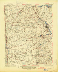
 1946 Wilmington1948 Print · USGSThe Delaware Valley and Jersey Shore emerge in this mid-century portrait of a region defined by river commerce and seaside growth. Genealogists and historians can trace the rail networks of the Pennsylvania Railroad, locate early airfields like Dover Airpark, and find river defenses at Fort Delaware.2 unique versions available
 - 1955 Map of Wilmington
 1955 Wilmington1955 Print · USGSThe Delaware Valley and Jersey Shore are seen here during the mid-fifties era of rapid suburban expansion and highway development. You can trace the path of the New Jersey Turnpike, locate the Fort Dix Military Reservation, or explore the rail networks of the Pennsylvania Railroad.
 - 1956 Map of Marydel, 1957 Print
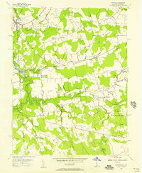 1956 Marydel1957 Print · USGSThe Maryland-Delaware borderlands come alive in this mid-century survey of rural farm districts and marshland drainage networks. Genealogists can trace family footprints near Thomas Chapel, the Oak Point Sch, and the waters of the Mud Millpond and Choptank River.2 unique versions available
 - 1957 Map of Wilmington
 1957 Wilmington1957 Print · USGSThe mid-Atlantic coastal plain comes alive in the mid-fifties as the New Jersey Turnpike and Garden State Parkway redefine travel. Researchers can trace the rail-to-road transition and find landmarks like Ship John Shoal Light and the Fort Dix Military Reservation.2 unique versions available
 - 1959 Map of Wilmington
 1959 Wilmington1959 Print · USGSThe Delaware Valley and Jersey Shore are seen here in the late fifties, during a period of massive suburban and highway expansion. Researchers can trace mid-century infrastructure like the N J Turnpike or locate coastal landmarks from Barnegat Bay to the Maurice River.3 unique versions available
 - 1966 Map of Wilmington, 1968 Print
 1966 Wilmington1968 Print · USGSThe Delaware Valley and Jersey Shore are seen here in the mid-1960s, documenting a landscape of dense industrial cities and emerging coastal resorts. Researchers can trace the sprawling rail networks of the Pennsylvania Railroad or locate landmarks like Fort Dix Military Reservation and Elk Neck State Park.4 unique versions available
 - 1972 Map of Wilmington, 1976 Print
 1972 Wilmington1976 Print · USGSThe Delaware Valley and Jersey Shore are seen here in the 1970s, showcasing the region's dense transport networks and vast state forests. Trace early coastal development near Atlantic City or locate rural landmarks like Mount Holly and Dover Air Force Base.2 unique versions available
 - 1984 Map of Dover, 1985 Print
 1984 Dover1985 Print · USGSThe Delaware Bay coastline and its surrounding communities are captured here in the mid-1980s. Genealogists and historians can trace the growth of Dover, locate rural landmarks like St Augustine, or study the rail networks of CONRAIL and the Dover Air Force Base.
 - 1993 Map of Marydel
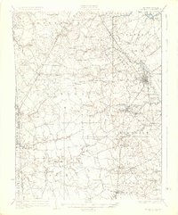
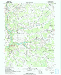 1993 Marydel1993 Print · USGSThe Delaware and Maryland borderlands come into focus in the early nineties, revealing a landscape defined by drainage ditches and rural crossroads. Researchers can trace historic local institutions like Thomas Chapel, the legacy of Choptank Mills, and family-named landmarks including Lords Corner and Stantons Cross Road.
 - 2011 Map of Marydel, 2011 Print
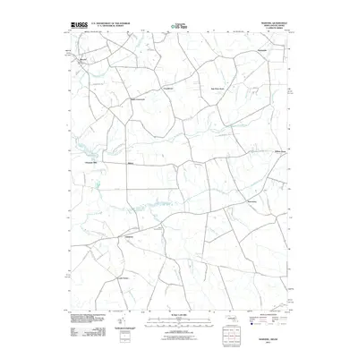 2011 Marydel2011 Print · USGSCovers Marydel, including Sandtown, Probst Mobile Home Park, and other nearby areas
 - 2014 Map of Marydel, 2014 Print
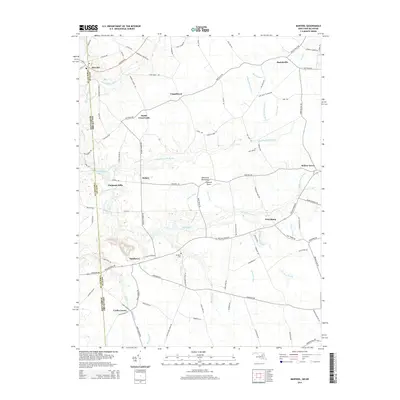 2014 Marydel2014 Print · USGSCovers Marydel, including Sandtown, Probst Mobile Home Park, and other nearby areas
 - 2016 Map of Marydel, 2016 Print
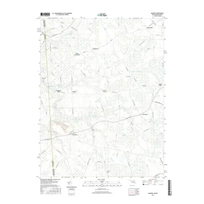 2016 Marydel2016 Print · USGSCovers Marydel, including Sandtown, Probst Mobile Home Park, and other nearby areas
 - 2019 Map of Marydel, 2019 Print
 2019 Marydel2019 Print · USGSCovers Marydel, including Sandtown, Probst Mobile Home Park, and other nearby areas
 - 2023 Map of Marydel, 2023 Print
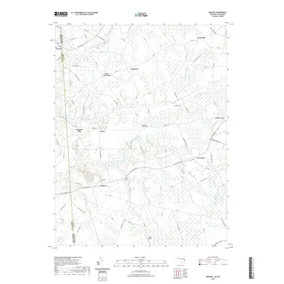
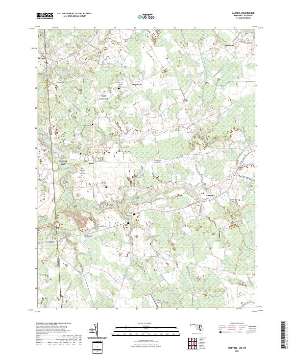 2023 Marydel2023 Print · USGSThe borderlands of Delaware and Maryland come into focus in the early twenty-first century, showing a landscape defined by historic drainage ditches and rural crossroads. Genealogists can trace family footprints at Thomas Chapel Cem, Choptank Mills, and the Slaughter Family Plot Cem.
End of results
Showing maps 1-20 of 20
Top cities near Marydel
- Dover historical maps
- Smyrna historical maps
- Denton historical maps
- Harrington historical maps
- Woodside East historical maps
- Riverview historical maps
See more
Frequently asked questions
- What are the different types of historical maps available for Marydel?
- What is the oldest map of Marydel?
- Where can I purchase historical maps of Marydel for my home or office?
- Where can I download high-res historical maps of Marydel?
- Are there historical topographic maps available for Marydel?
- Is there historical aerial imagery available for Marydel?
- Where are historical maps of Marydel sourced from?