2000s (21st Century) Maps of Port Deposit, Maryland
Explore 10 historic maps of Port Deposit from the 2000s (21st Century). These maps offer a rare glimpse into what life looked like during the 2000s — showing old roads, neighborhoods, homes, and landmarks that have changed or disappeared over time.
Whether you're researching your family's past, planning a metal detecting trip, or studying how Port Deposit's landscape evolved across the 2000s, these high-resolution maps are a powerful tool for exploring the history of this region.
- Focus on a specific era: All maps on this page are from the 2000s, giving you a focused view of this time period.
- See what’s changed: Compare century-old streets, trails, and buildings to today's modern landscape using overlays and satellite layers.
- Research with precision: Use these maps for genealogy, historical research, land use analysis, or educational projects.
- View, download, or print: Maps are fully viewable online in high resolution, and can be downloaded or printed for your own records.
Start exploring Port Deposit's history through authentic maps from the 2000s. This is your window into the past.
Port Deposit, MD maps
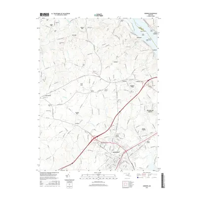
(10)- 2011 Map of Aberdeen, 2011 Print
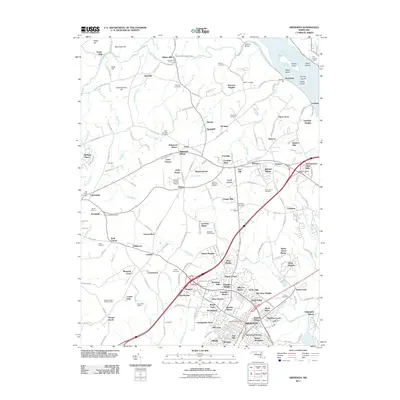 2011 Aberdeen2011 Print · USGSCovers Port Deposit, including Aberdeen, Havre de Grace, and other nearby areas
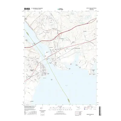
 - 2011 Map of Havre De Grace, 2011 Print
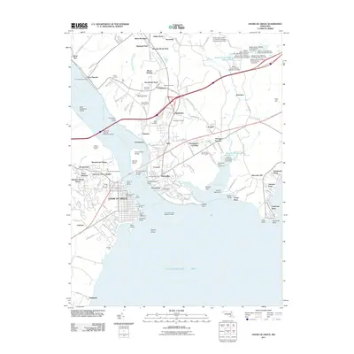 2011 Havre De Grace2011 Print · USGSCovers Port Deposit, including Havre de Grace, Perryville, and other nearby areas
 - 2014 Map of Aberdeen, 2014 Print
 2014 Aberdeen2014 Print · USGSCovers Port Deposit, including Aberdeen, Havre de Grace, and other nearby areas
 - 2014 Map of Havre De Grace, 2014 Print
 2014 Havre De Grace2014 Print · USGSCovers Port Deposit, including Havre de Grace, Perryville, and other nearby areas
 - 2016 Map of Aberdeen, 2016 Print
 2016 Aberdeen2016 Print · USGSCovers Port Deposit, including Aberdeen, Havre de Grace, and other nearby areas
 - 2016 Map of Havre De Grace, 2016 Print
 2016 Havre De Grace2016 Print · USGSCovers Port Deposit, including Havre de Grace, Perryville, and other nearby areas
 - 2019 Map of Aberdeen, 2019 Print
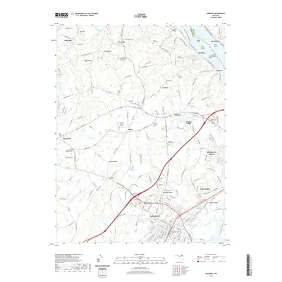 2019 Aberdeen2019 Print · USGSCovers Port Deposit, including Aberdeen, Havre de Grace, and other nearby areas
 - 2019 Map of Havre De Grace, 2019 Print
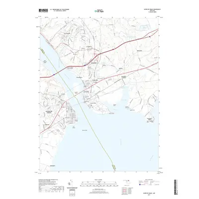 2019 Havre De Grace2019 Print · USGSCovers Port Deposit, including Havre de Grace, Perryville, and other nearby areas
 - 2023 Map of Havre De Grace, 2023 Print
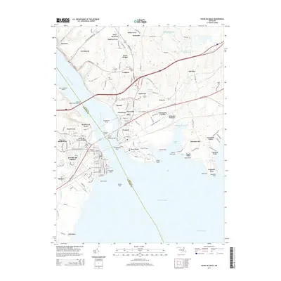
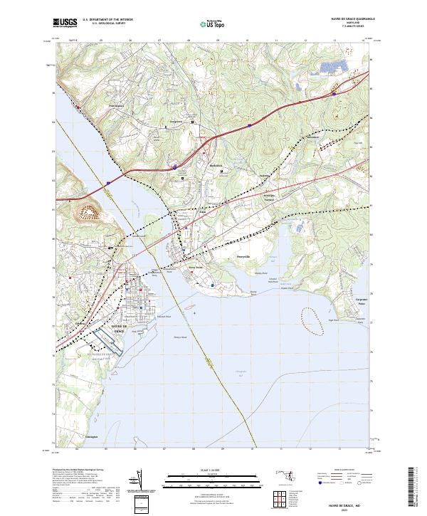 2023 Havre De Grace2023 Print · USGSThe mouth of the Susquehanna River comes alive in this 2023 survey, showing where historic ferry crossings and furnace sites met modern bridge infrastructure. Genealogists can locate family burial grounds like Asbury United Methodist Cem or trace the early industrial footprint of Principio Furnace.
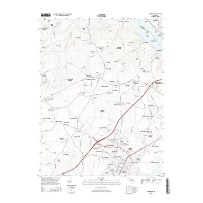
 - 2023 Map of Aberdeen, 2023 Print
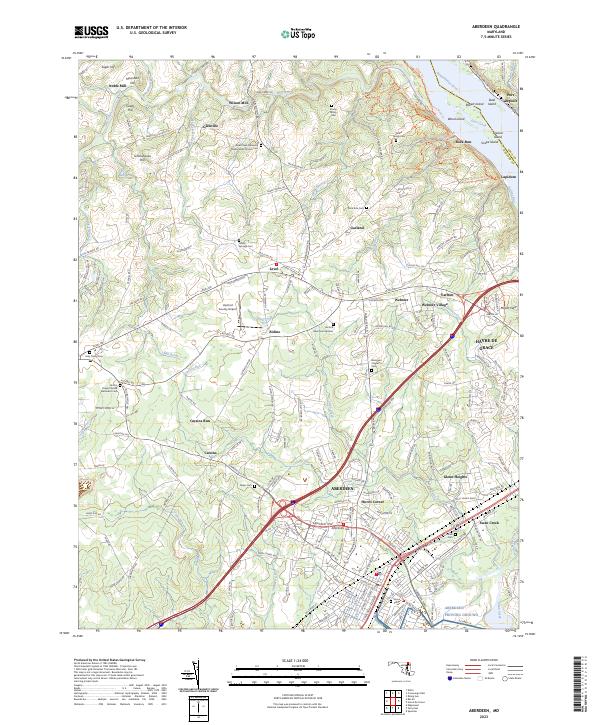 2023 Aberdeen2023 Print · USGSHarford County's coastal and rural landscapes are captured here during a period of modern growth. Genealogists can trace family history through sites like Parker Family Cem and Smith's Chapel United Methodist Cem while exploring the river shoreline near Lapidum.
End of results
Showing maps 1-10 of 10
Top cities near Port Deposit
- Edgewood historical maps
- Aberdeen historical maps
- Havre de Grace historical maps
- Bel Air historical maps
- New London Township historical maps
- Perryville historical maps
See more
Top neighborhoods of Port Deposit
Frequently asked questions
- What are the different types of historical maps available for Port Deposit?
- What is the oldest map of Port Deposit?
- Where can I purchase historical maps of Port Deposit for my home or office?
- Where can I download high-res historical maps of Port Deposit?
- Are there historical topographic maps available for Port Deposit?
- Is there historical aerial imagery available for Port Deposit?
- Where are historical maps of Port Deposit sourced from?