Old Maps of Port Deposit, Maryland for Academic Research
Study the evolution of Port Deposit with 23 high-resolution historic maps. Whether you're teaching, researching, or modeling changes in land use, these maps provide essential visual documentation of urban, environmental, and geographic change.
- Analyze long-term change: Track patterns in development, transportation, and natural features.
- Ideal for environmental or urban studies: Support academic projects with primary historical map data.
- Use in the classroom or lab: Educators and researchers rely on these maps to bring historical context to life.
These maps are a powerful tool for teaching, research, and visualizing how Port Deposit has changed over the decades.
Port Deposit, MD maps
(23)- 1900 Map of Havre De Grace
 1900 Havre De Grace1900 Print · USGSThe Susquehanna River valley at the turn of the century shows a landscape transitioning from the canal era to the railroad age. Genealogists and historians can trace defunct transport routes like the Tidewater Canal alongside active hubs like Rising Sun and Port Deposit.7 unique versions available
 - 1942 Map of Havre De Grace
 1942 Havre De Grace1942 Print · USGSThe Susquehanna riverfront and Mason-Dixon borderlands are captured here in the early 1940s, just as modern infrastructure began to reshape the region. Genealogists can trace family roots through landmarks like Smith Chapel, Lees Mill, and the Brookview Cem near Rising Sun.4 unique versions available
 - 1948 Map of Baltimore
 1948 Baltimore1948 Print · USGSMaryland and Pennsylvania crossroads are captured in the late 1940s, showing a landscape defined by historic rail lines and major military installations. Genealogists can trace family connections in Gettysburg, Westminster, and near the U.S. Naval Academy in Annapolis.2 unique versions available
 - 1953 Map of Aberdeen, 1955 Print
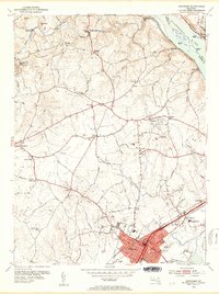 1953 Aberdeen1955 Print · USGSHarford County is documented here in the early fifties, showing the growth of Aberdeen as a major rail hub near the Susquehanna River. Genealogists and historians can trace family-named sites like Noble Mill, St James Ch, and the grounds of Halls Crossroads Sch.5 unique versions available
 - 1953 Map of Havre De Grace, 1955 Print
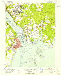 1953 Havre De Grace1955 Print · USGSMid-century Cecil County and the Susquehanna mouth are defined here by major military and rail infrastructure. Genealogists can locate family sites at Cokesbury Ch Cem or St Marks Ch Cem and trace the development of Perryville and Bainbridge.8 unique versions available
 - 1954 Map of Baltimore
 1954 Baltimore1954 Print · USGSThe Mid-Atlantic region in the early fifties shows a landscape of growing suburban centers and heavy rail corridors. Trace mid-century transit networks and military landmarks from the Aberdeen Proving Ground to the Gettysburg National Military Park.
 - 1956 Map of Baltimore
 1956 Baltimore1956 Print · USGSMid-century Maryland and Pennsylvania are captured here during a period of massive suburban and military growth across the Chesapeake region. Genealogists and historians can trace the rail corridors of the Baltimore & Ohio RR and locate landmarks like Fort McHenry or the Aberdeen Proving Ground.
 - 1957 Map of Baltimore, 1964 Print
 1957 Baltimore1964 Print · USGSMaryland and Southern Pennsylvania are shown during the mid-century expansion of the Baltimore-Washington corridor. Researchers can trace the extensive rail lines of the Baltimore & Ohio RR and locate sites like Fort Detrick and Gettysburg National Military Park.5 unique versions available
 - 1961 Map of Baltimore
 1961 Baltimore1961 Print · USGSMaryland and Pennsylvania are captured at a mid-century peak of industrial and military expansion. Genealogists and historians can trace rail corridors like the Western Maryland Ry or locate regional landmarks such as Camp Detrick and Kent Island.
 - 1983 Map of York, 1984 Print
 1983 York1984 Print · USGSSouth Central Pennsylvania and Northern Maryland meet along the Susquehanna during the early eighties. Genealogists and local historians can trace the transit networks of Conrail and Amtrak through towns like Red Lion and Seven Valleys.2 unique versions available
 - 1989 Map of Baltimore
 1989 Baltimore1989 Print · USGSThe Mid-Atlantic corridor in the late eighties is captured here, from the Baltimore harbor to the Blue Ridge foothills. Researchers can trace the sprawling footprints of Aberdeen Proving Ground, the historic grounds of Gettysburg National Military Park, and the winding Susquehanna River.
 - 1992 Map of Havre De Grace, 1993 Print
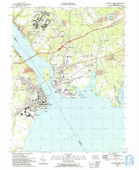 1992 Havre De Grace1993 Print · USGSThe northern reaches of the Chesapeake Bay are frozen in time in the early nineties, documenting the critical river crossings at Havre De Grace and Perryville. Researchers can trace the legacy of the Principio Furnace, locate the Concord Pt Lighthouse, and find family history at Mt Erin Cem or Patterson Cem.
 - 1998 Map of Havre De Grace, 2000 Print
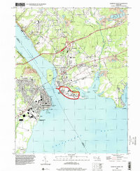 1998 Havre De Grace2000 Print · USGSThe Susquehanna meets the Chesapeake in this late-century study of a vital Maryland junction. Researchers can trace the legacy of the Perry Point VA Medical Center, locate Principio Furnace, and find family names at Patterson Cem or Mt Erin Cem.
 - 2011 Map of Aberdeen, 2011 Print
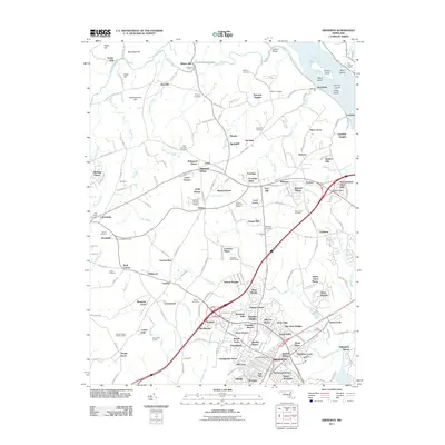 2011 Aberdeen2011 Print · USGSHarford County, Maryland, is shown in the early twenty-first century as suburban growth meets established agrarian landscapes. Genealogists and historians can trace family land at Holloway Farms and Kirkwood Manor or locate burial sites at Parker Cemetery and Wesleyan Cemetery.
 - 2011 Map of Havre De Grace, 2011 Print
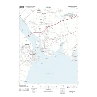 2011 Havre De Grace2011 Print · USGSHarford and Cecil Counties meet at the mouth of the Susquehanna in this 2011 survey, showing a landscape shaped by maritime trade and heavy industry. Researchers can trace local heritage at Principio Furnace, Port Deposit, and the historic Concord Point Lighthouse.
 - 2014 Map of Aberdeen, 2014 Print
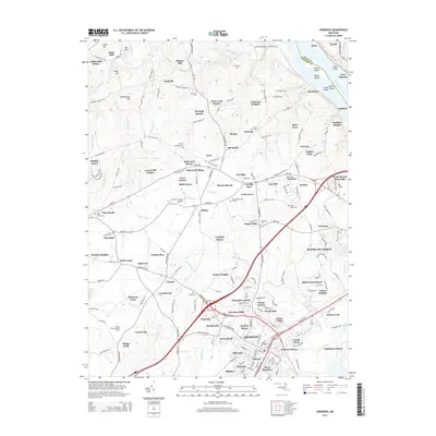 2014 Aberdeen2014 Print · USGSHarford County's landscape in the early 2010s is marked by the wide Susquehanna River and a network of historic milling sites. Researchers can trace ancestral roots at Baker Cem and Saint James Cem or locate old industrial landmarks like Wilson Mill.
 - 2014 Map of Havre De Grace, 2014 Print
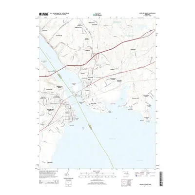 2014 Havre De Grace2014 Print · USGSThe Susquehanna River splits Harford and Cecil counties in this modern-era survey of the upper Chesapeake Bay. Genealogists and local historians can trace family plots at Cokesbury Cem or explore the industrial legacy of Principio Furnace and Port Deposit.
 - 2016 Map of Aberdeen, 2016 Print
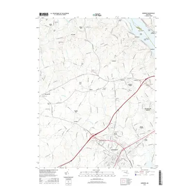 2016 Aberdeen2016 Print · USGSHarford County's riverfront and agricultural heartland are captured here in the mid-2010s. Genealogists and historians can locate early industry at Noble Mill, trace the shoreline at Lapidum, or find family records at Baker Cem and Saint James Cem.
 - 2016 Map of Havre De Grace, 2016 Print
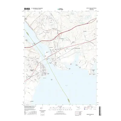 2016 Havre De Grace2016 Print · USGSThe Susquehanna River meets the Chesapeake Bay at Havre De Grace and Perryville in this contemporary record. Genealogists can trace family landmarks and burial sites like Angel Hill Cem, Cokesbury Cem, and Patterson Cem.
 - 2019 Map of Aberdeen, 2019 Print
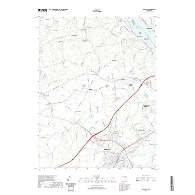 2019 Aberdeen2019 Print · USGSHarford County's riverfront and inland settlements are captured here in the modern era as the region continues to grow. Researchers can trace family history through numerous landmarks like Baker Cem, the site of Noble Mill, and Stafford Bridge.
 - 2019 Map of Havre De Grace, 2019 Print
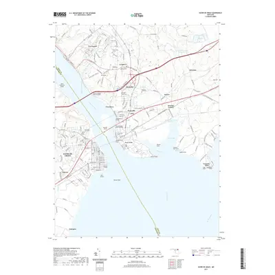 2019 Havre De Grace2019 Print · USGSThe mouth of the Susquehanna River comes into sharp focus in this recent Maryland study, where industrial heritage meets coastal settlement. Researchers can pinpoint historic burial grounds like Mount Erin Cem and Angel Hill Cem or trace old landmarks such as Principio Furnace and Concord Point.
 - 2023 Map of Havre De Grace, 2023 Print
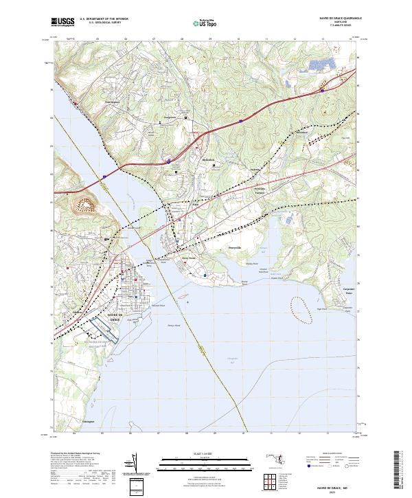 2023 Havre De Grace2023 Print · USGSThe mouth of the Susquehanna River comes alive in this 2023 survey, showing where historic ferry crossings and furnace sites met modern bridge infrastructure. Genealogists can locate family burial grounds like Asbury United Methodist Cem or trace the early industrial footprint of Principio Furnace.
 - 2023 Map of Aberdeen, 2023 Print
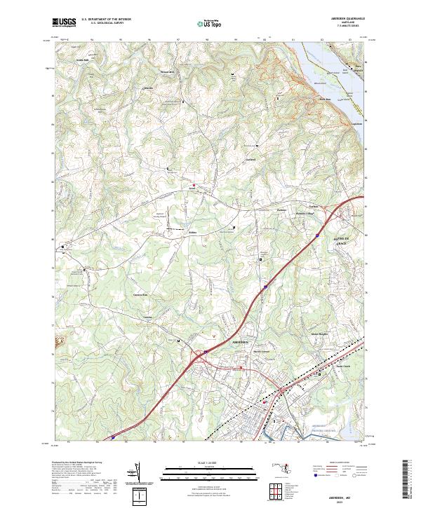 2023 Aberdeen2023 Print · USGSHarford County's coastal and rural landscapes are captured here during a period of modern growth. Genealogists can trace family history through sites like Parker Family Cem and Smith's Chapel United Methodist Cem while exploring the river shoreline near Lapidum.
End of results
Showing maps 1-23 of 23
Top cities near Port Deposit
- Edgewood historical maps
- Aberdeen historical maps
- Havre de Grace historical maps
- Bel Air historical maps
- New London Township historical maps
- Perryville historical maps
See more
Top neighborhoods of Port Deposit
Frequently asked questions
- What are the different types of historical maps available for Port Deposit?
- What is the oldest map of Port Deposit?
- Where can I purchase historical maps of Port Deposit for my home or office?
- Where can I download high-res historical maps of Port Deposit?
- Are there historical topographic maps available for Port Deposit?
- Is there historical aerial imagery available for Port Deposit?
- Where are historical maps of Port Deposit sourced from?