2000s (21st Century) Maps of Appolds, Maryland
Explore 5 historic maps of Appolds from the 2000s (21st Century). These maps offer a rare glimpse into what life looked like during the 2000s — showing old roads, neighborhoods, homes, and landmarks that have changed or disappeared over time.
Whether you're researching your family's past, planning a metal detecting trip, or studying how Appolds's landscape evolved across the 2000s, these high-resolution maps are a powerful tool for exploring the history of this region.
- Focus on a specific era: All maps on this page are from the 2000s, giving you a focused view of this time period.
- See what’s changed: Compare century-old streets, trails, and buildings to today's modern landscape using overlays and satellite layers.
- Research with precision: Use these maps for genealogy, historical research, land use analysis, or educational projects.
- View, download, or print: Maps are fully viewable online in high resolution, and can be downloaded or printed for your own records.
Start exploring Appolds's history through authentic maps from the 2000s. This is your window into the past.
Appolds, MD maps
(5)- 2011 Map of Emmitsburg, 2011 Print
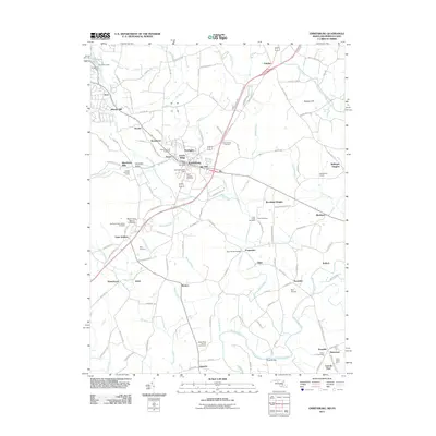 2011 Emmitsburg2011 Print · USGSCovers Appolds, including Emmitsburg, Harney Venture Estates, and other nearby areas
 - 2014 Map of Emmitsburg, 2014 Print
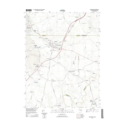 2014 Emmitsburg2014 Print · USGSCovers Appolds, including Emmitsburg, Harney Venture Estates, and other nearby areas
 - 2016 Map of Emmitsburg, 2016 Print
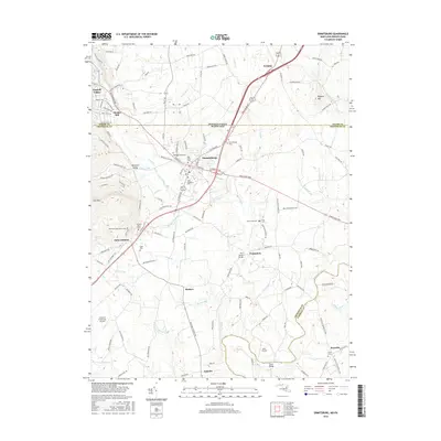 2016 Emmitsburg2016 Print · USGSCovers Appolds, including Emmitsburg, Harney Venture Estates, and other nearby areas
 - 2019 Map of Emmitsburg, 2019 Print
 2019 Emmitsburg2019 Print · USGSCovers Appolds, including Emmitsburg, Harney Venture Estates, and other nearby areas
 - 2023 Map of Emmitsburg, 2023 Print
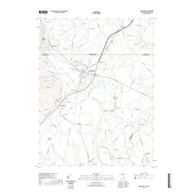
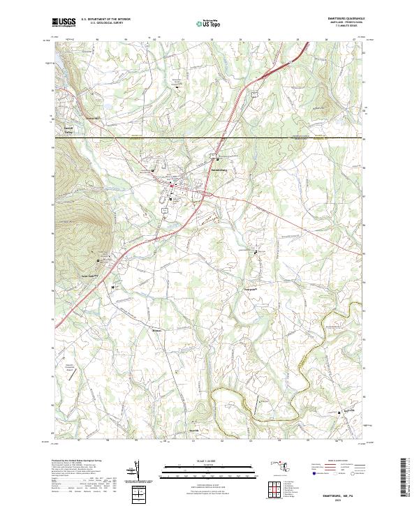 2023 Emmitsburg2023 Print · USGSEmmitsburg and the Maryland-Pennsylvania borderlands are shown here in recent years, centered on a landscape shaped by religious education and rural industry. Genealogists can locate Zimmerman Family Burial Grounds, Elder Cem, and Mount Saint Mary's University.
End of results
Showing maps 1-5 of 5
Top cities near Appolds
- Frederick historical maps
- Gettysburg historical maps
- Taneytown historical maps
- Thurmont historical maps
- Quincy Township historical maps
- Spring Ridge historical maps
See more
Frequently asked questions
- What are the different types of historical maps available for Appolds?
- What is the oldest map of Appolds?
- Where can I purchase historical maps of Appolds for my home or office?
- Where can I download high-res historical maps of Appolds?
- Are there historical topographic maps available for Appolds?
- Is there historical aerial imagery available for Appolds?
- Where are historical maps of Appolds sourced from?