Old Maps of Kingsbrook, Frederick County for Academic Research
Study the evolution of Kingsbrook with 26 high-resolution historic maps. Whether you're teaching, researching, or modeling changes in land use, these maps provide essential visual documentation of urban, environmental, and geographic change.
- Analyze long-term change: Track patterns in development, transportation, and natural features.
- Ideal for environmental or urban studies: Support academic projects with primary historical map data.
- Use in the classroom or lab: Educators and researchers rely on these maps to bring historical context to life.
These maps are a powerful tool for teaching, research, and visualizing how Kingsbrook has changed over the decades.
Kingsbrook, Frederick County maps
(26)- 1893 Map of Frederick
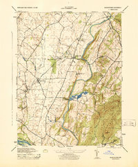
 1893 Frederick1893 Print · USGSMaryland's Piedmont region at the end of the nineteenth century reveals a landscape defined by the Potomac River and the rise of rail transit. Researchers can trace the path of the Chesapeake and Ohio Canal or locate local hubs like Poolesville and Buckeystown.
 - 1894 Map of Frederick
 1894 Frederick1894 Print · USGSMaryland's Piedmont region in the late nineteenth century was a complex network of river crossings and railway junctions. Researchers can trace the path of the Baltimore & Ohio R. R. past Sugar Loaf Mtn. and locate historic river sites like Nolands Ferry.5 unique versions available
 - 1908 Map of Ijamsville, 1921 Print
 1908 Ijamsville1921 Print · USGSFrederick and its surrounding valley are captured here just after the turn of the century, showing a landscape defined by historic turnpikes and the winding Monocacy River. Genealogists and historians can trace defunct schoolhouses, early turnpike toll gates like Fountain Rock T.G., and family landmarks near Sugarloaf Mtn.
 - 1909 Map of Ijamsville
 1909 Ijamsville1909 Print · USGSFrederick County and parts of Montgomery County are documented here during an era of significant rail and turnpike expansion. Genealogists and historians can locate early post offices and stations such as Araby P O, Ijamsville, and the Almshouse near Frederick.9 unique versions available
 - 1942 Map of Frederick
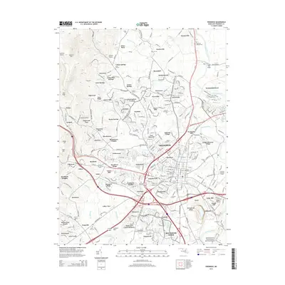
 1942 Frederick1942 Print · USGSMid-century Maryland's central corridor is centered on Frederick as it appeared before the modern interstate system. Researchers can trace the routes of the B & O Canal, locate the Montevue Almshouse, and see the intersection of the Northern Central RR with early turnpikes.
 - 1944 Map of Buckeystown
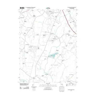
 1944 Buckeystown1944 Print · USGSMid-century Frederick County comes alive through its rail-side hamlets and riverside mills during the 1940s. Genealogists and historians can trace the foundations of Buckeystown, locate the Buckingham School Orphanage, and follow the Baltimore and Ohio tracks through Adamstown.
 - 1944 Map of Frederick
 1944 Frederick1944 Print · USGSMaryland's Piedmont region during the 1940s reveals a landscape of industrial growth and mountain recreation. Researchers can trace historic transport lines through Montevue Sta, the Frederick Airport, and the large Mt Olivet Cemetery.
 - 1948 Map of Baltimore
 1948 Baltimore1948 Print · USGSMaryland and Pennsylvania crossroads are captured in the late 1940s, showing a landscape defined by historic rail lines and major military installations. Genealogists can trace family connections in Gettysburg, Westminster, and near the U.S. Naval Academy in Annapolis.2 unique versions available
 - 1952 Map of Buckeystown, 1953 Print
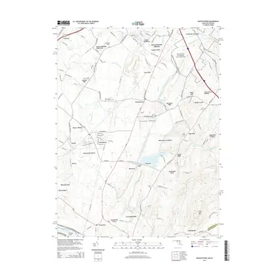
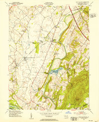 1952 Buckeystown1953 Print · USGSFrederick County in the early fifties remains a landscape of rail-fed villages and river bottom industry. Genealogists and local historians can trace the foundations of Carrollton Manor, find the Brick Kilns at Lime Kiln, or locate Michaels Mill along the Monocacy.8 unique versions available
 - 1953 Map of Frederick, 1954 Print
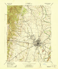
 1953 Frederick1954 Print · USGSMaryland's interior growth is on full display here during the early fifties as the city of Frederick pushes toward Catoctin Mountain. Researchers can trace the layout of the U S Military Reservation at Camp Detrick and locate local landmarks like Hood College and Mt Olivet Cemetery.8 unique versions available
 - 1954 Map of Baltimore
 1954 Baltimore1954 Print · USGSThe Mid-Atlantic region in the early fifties shows a landscape of growing suburban centers and heavy rail corridors. Trace mid-century transit networks and military landmarks from the Aberdeen Proving Ground to the Gettysburg National Military Park.
 - 1956 Map of Baltimore
 1956 Baltimore1956 Print · USGSMid-century Maryland and Pennsylvania are captured here during a period of massive suburban and military growth across the Chesapeake region. Genealogists and historians can trace the rail corridors of the Baltimore & Ohio RR and locate landmarks like Fort McHenry or the Aberdeen Proving Ground.
 - 1957 Map of Baltimore, 1964 Print
 1957 Baltimore1964 Print · USGSMaryland and Southern Pennsylvania are shown during the mid-century expansion of the Baltimore-Washington corridor. Researchers can trace the extensive rail lines of the Baltimore & Ohio RR and locate sites like Fort Detrick and Gettysburg National Military Park.5 unique versions available
 - 1961 Map of Baltimore
 1961 Baltimore1961 Print · USGSMaryland and Pennsylvania are captured at a mid-century peak of industrial and military expansion. Genealogists and historians can trace rail corridors like the Western Maryland Ry or locate regional landmarks such as Camp Detrick and Kent Island.
 - 1984 Map of Frederick, 1985 Print
 1984 Frederick1985 Print · USGSMaryland's Piedmont and the Potomac River valley are shown here in the mid-eighties as suburban growth began to meet historic rural landscapes. Genealogists and historians can trace the paths of the Baltimore and Ohio RR or locate the boundaries of Antietam National Battlefield and Fort Detrick.
 - 1989 Map of Baltimore
 1989 Baltimore1989 Print · USGSThe Mid-Atlantic corridor in the late eighties is captured here, from the Baltimore harbor to the Blue Ridge foothills. Researchers can trace the sprawling footprints of Aberdeen Proving Ground, the historic grounds of Gettysburg National Military Park, and the winding Susquehanna River.
 - 2011 Map of Frederick, 2011 Print
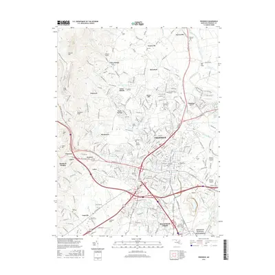
 2011 Frederick2011 Print · USGSCovers Kingsbrook, including Frederick, Walkersville, and other nearby areas
 - 2011 Map of Buckeystown, 2011 Print
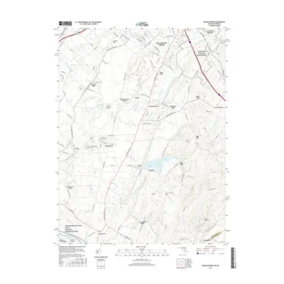
 2011 Buckeystown2011 Print · USGSCovers Kingsbrook, including Ballenger Creek, Poplar Thicket, and other nearby areas
 - 2014 Map of Frederick, 2014 Print
 2014 Frederick2014 Print · USGSCovers Kingsbrook, including Frederick, Walkersville, and other nearby areas
 - 2014 Map of Buckeystown, 2014 Print
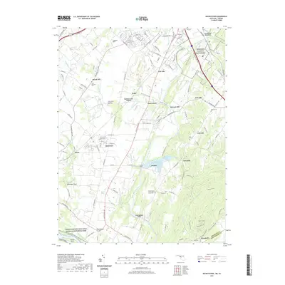
 2014 Buckeystown2014 Print · USGSCovers Kingsbrook, including Ballenger Creek, Poplar Thicket, and other nearby areas
 - 2016 Map of Frederick, 2016 Print
 2016 Frederick2016 Print · USGSCovers Kingsbrook, including Frederick, Walkersville, and other nearby areas
 - 2016 Map of Buckeystown, 2016 Print
 2016 Buckeystown2016 Print · USGSCovers Kingsbrook, including Ballenger Creek, Poplar Thicket, and other nearby areas
 - 2019 Map of Frederick, 2019 Print
 2019 Frederick2019 Print · USGSCovers Kingsbrook, including Frederick, Walkersville, and other nearby areas
 - 2019 Map of Buckeystown, 2019 Print
 2019 Buckeystown2019 Print · USGSCovers Kingsbrook, including Ballenger Creek, Poplar Thicket, and other nearby areas
 - 2023 Map of Frederick, 2023 Print
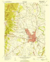
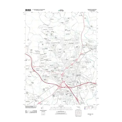
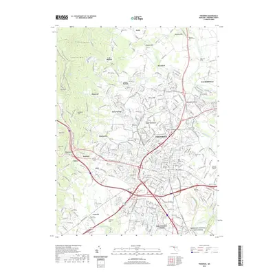
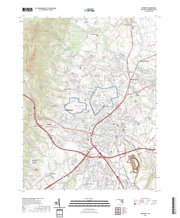 2023 Frederick2023 Print · USGSFrederick and the surrounding foothills appear in fine detail during this modern period of expansion. Researchers can trace ancestral sites at Mount Olivet Cem or explore the geography of Fort Detrick and the Monocacy River.
Showing maps 1-25 of 26
Frequently asked questions
- What are the different types of historical maps available for Kingsbrook?
- What is the oldest map of Kingsbrook?
- Where can I purchase historical maps of Kingsbrook for my home or office?
- Where can I download high-res historical maps of Kingsbrook?
- Are there historical topographic maps available for Kingsbrook?
- Is there historical aerial imagery available for Kingsbrook?
- Where are historical maps of Kingsbrook sourced from?