2000s (21st Century) Maps of Accident, Maryland
Explore 10 historic maps of Accident from the 2000s (21st Century). These maps offer a rare glimpse into what life looked like during the 2000s — showing old roads, neighborhoods, homes, and landmarks that have changed or disappeared over time.
Whether you're researching your family's past, planning a metal detecting trip, or studying how Accident's landscape evolved across the 2000s, these high-resolution maps are a powerful tool for exploring the history of this region.
- Focus on a specific era: All maps on this page are from the 2000s, giving you a focused view of this time period.
- See what’s changed: Compare century-old streets, trails, and buildings to today's modern landscape using overlays and satellite layers.
- Research with precision: Use these maps for genealogy, historical research, land use analysis, or educational projects.
- View, download, or print: Maps are fully viewable online in high resolution, and can be downloaded or printed for your own records.
Start exploring Accident's history through authentic maps from the 2000s. This is your window into the past.
Accident, MD maps
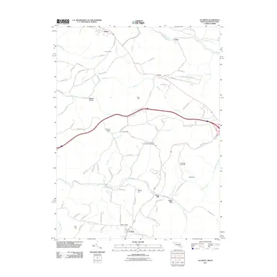
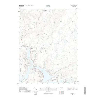
(10)- 2011 Map of McHenry, 2011 Print
 2011 McHenry2011 Print · USGSCovers Accident, including Thayerville, McHenry, and other nearby areas
 - 2011 Map of Accident, 2011 Print
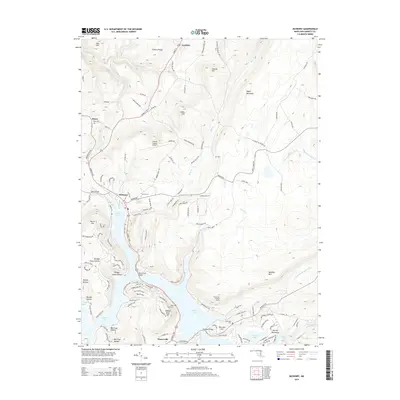
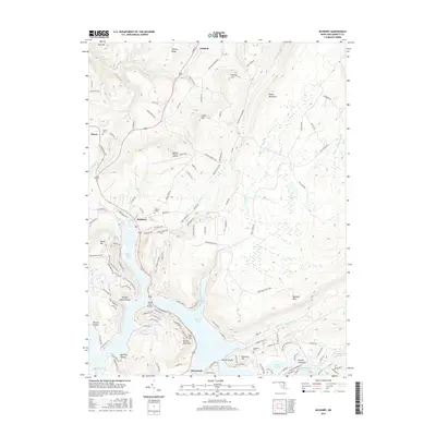
 2011 Accident2011 Print · USGSCovers Accident, including Addison, Strawn, and other nearby areas
 - 2014 Map of Accident, 2014 Print
 2014 Accident2014 Print · USGSCovers Accident, including Addison, Strawn, and other nearby areas
 - 2014 Map of McHenry, 2014 Print
 2014 McHenry2014 Print · USGSCovers Accident, including Thayerville, McHenry, and other nearby areas
 - 2016 Map of McHenry, 2016 Print
 2016 McHenry2016 Print · USGSCovers Accident, including Thayerville, McHenry, and other nearby areas
 - 2016 Map of Accident, 2016 Print
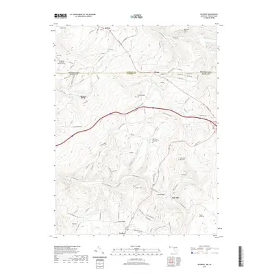
 2016 Accident2016 Print · USGSCovers Accident, including Addison, Strawn, and other nearby areas
 - 2019 Map of McHenry, 2019 Print
 2019 McHenry2019 Print · USGSCovers Accident, including Thayerville, McHenry, and other nearby areas
 - 2019 Map of Accident, 2019 Print
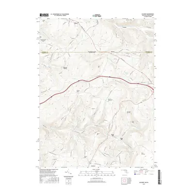
 2019 Accident2019 Print · USGSCovers Accident, including Addison, Strawn, and other nearby areas
 - 2023 Map of Accident, 2023 Print
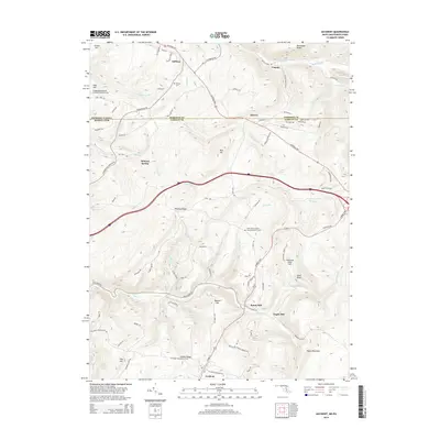
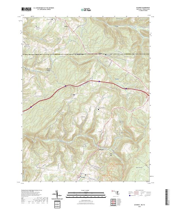 2023 Accident2023 Print · USGSGarrett County's high ridges and border valleys are shown here in detail during the early twenty-first century. Genealogists can trace family names through numerous remote burial sites like Augustine Burial Ground Number 1 and local industry at Kaese Mill.
 - 2023 Map of McHenry, 2023 Print
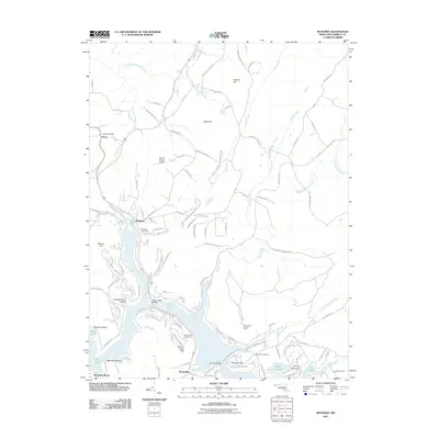
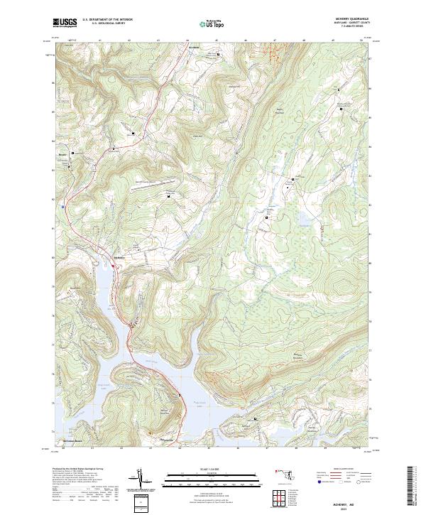 2023 McHenry2023 Print · USGSGarrett County's lakeside communities and high mountain ridges are mapped here in the contemporary era. Researchers can trace family history through numerous small burial grounds like Bumblebee Ridge Cem or locate landmarks near McHenry and Deep Creek Lake.
End of results
Showing maps 1-10 of 10
Top cities near Accident
- Mountain Lake Park historical maps
- Oakland historical maps
- Terra Alta historical maps
- Confluence historical maps
- Grantsville historical maps
- Friendsville historical maps
See more
Frequently asked questions
- What are the different types of historical maps available for Accident?
- What is the oldest map of Accident?
- Where can I purchase historical maps of Accident for my home or office?
- Where can I download high-res historical maps of Accident?
- Are there historical topographic maps available for Accident?
- Is there historical aerial imagery available for Accident?
- Where are historical maps of Accident sourced from?