Old Maps of Howard County, Maryland for Genealogy
Trace your family roots with 116 historic maps of Howard County. These high-res maps reveal old neighborhoods, homesites, landmarks, and streets — helping you uncover where your ancestors lived and how the area evolved over time.
- Explore historic neighborhoods: Identify where your relatives may have lived in the 1800s or 1900s.
- Compare maps over time: Trace the changes in streets, buildings, and landmarks for multi-generational research.
- Perfect for genealogy & ancestry research: Used by family historians and researchers to map out lineage and migration.
These maps are an incredible resource for exploring your personal connection to Howard County's past.
Howard County, MD maps
(116)- 1892 Map of Laurel
 1892 Laurel1892 Print · USGSCentral Maryland at the end of the nineteenth century centers on the busy corridor between Baltimore and Washington. Genealogists and historians can trace rail-side industrial sites like Muirkirk, family-named crossings at Snell Bridge, and numerous Iron Ore deposits.
 - 1892 Map of Ellicott
 1892 Ellicott1892 Print · USGSMaryland's rolling Piedmont is mapped here at the end of the nineteenth century, showing a landscape defined by industrial granite quarries and emerging rail corridors. Researchers can trace ancestral roots through dozens of named settlements such as Owings Mills and Randallstown, or locate historic sites like St. Charles College and Shock Mill.
 - 1893 Map of Frederick
 1893 Frederick1893 Print · USGSMaryland's Piedmont region at the end of the nineteenth century reveals a landscape defined by the Potomac River and the rise of rail transit. Researchers can trace the path of the Chesapeake and Ohio Canal or locate local hubs like Poolesville and Buckeystown.
 - 1894 Map of Ellicott
 1894 Ellicott1894 Print · USGSThe Maryland interior at the end of the nineteenth century reveals a landscape defined by the Patapsco River and a growing rail network. Genealogists and historians can trace family roots through settlements like Reisterstown, landmarks like St. Charles College, and industry at the Quarries near Granite.3 unique versions available
 - 1894 Map of Laurel
 1894 Laurel1894 Print · USGSMaryland's central corridor in the 1890s reveals a landscape of growing rail towns and early industrial activity between major cities. Genealogists and historians can trace family-named crossroads and rail stops from Savage Sta. and Annapolis Junc. to the iron deposits near Muirkirk.4 unique versions available
 - 1894 Map of Frederick
 1894 Frederick1894 Print · USGSMaryland's Piedmont region in the late nineteenth century was a complex network of river crossings and railway junctions. Researchers can trace the path of the Baltimore & Ohio R. R. past Sugar Loaf Mtn. and locate historic river sites like Nolands Ferry.5 unique versions available
 - 1894 Map of Relay
 1894 Relay1894 Print · USGSAnne Arundel and Howard counties are shown in the late nineteenth century as the regional rail network reached its peak. Genealogists and historians can trace the early footprints of Glen Burnie, identify old landings like Whitneys Ld., and locate the St. Helena church.4 unique versions available
 - 1897 Map of Laurel
 1897 Laurel1897 Print · USGSMaryland's central corridor comes to life in the 1890s, capturing the rail-and-river economy where Howard and Prince George's counties meet. Researchers can trace historic stops along the Baltimore and Ohio RR, locate local Iron Ore pits, and find old community hubs like Savage Sta. and Oakland Mills.
 - 1906 Map of Ellicott
 1906 Ellicott1906 Print · USGSCentral Maryland at the turn of the century shows a landscape of institutional growth and heavy rail development. Trace family roots and local history through Reisterstown, the grounds of St Charles College, and Owings Mills.6 unique versions available
 - 1907 Map of Laurel
 1907 Laurel1907 Print · USGSMaryland's transit corridor between Washington and Baltimore comes alive in the early 1900s as railroads and old turnpikes cross the Patuxent valley. Trace historical landmarks from the House of Reformation to old crossings like Old Forge Bridge and Brock Bridge.3 unique versions available
 - 1907 Map of Relay
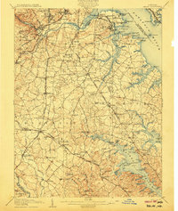 1907 Relay1907 Print · USGSAnne Arundel County and the Patapsco waterfront are shown here in the early nineteen-hundreds, as industry and maritime trade reshaped the Maryland coast. Genealogists and historians can trace rail lines and early settlements like Relay and Elkridge, or locate landmarks such as Fort Carroll and St. Stephens Church.8 unique versions available
 - 1908 Map of Patapsco
 1908 Patapsco1908 Print · USGSMaryland's central corridor at the opening of the twentieth century reveals a dense network of harbor defenses and rail-line economies. Genealogists and historians can trace the foundations of Baltimore alongside local landmarks like Ashland Furnace, St Charles College, and Fort McHenry.4 unique versions available
 - 1908 Map of Rockville
 1908 Rockville1908 Print · USGSMontgomery County was a rural landscape of crossroads and rail towns in the early twentieth century. Genealogists and historians can trace the paths of the Metropolitan Branch and early transit lines like the Georgetown and Rockville Electric Road through towns such as Rockville and Washington Grove.3 unique versions available
 - 1909 Map of Mount Airy
 1909 Mount Airy1909 Print · USGSCentral Maryland's Piedmont region is captured here during the height of the steam-rail era, centered on the strategic crossing at Mount Airy. Genealogists and historians can trace old property locations near Shipleys Mill, the winding Gary Turnpike, and rural settlements like Winfield and Libertytown.7 unique versions available
 - 1923 Map of Rockville
 1923 Rockville1923 Print · USGSMontgomery County was a landscape of rail-linked towns and river valleys in the early twentieth century. Genealogists and historians can trace the foundations of Rockville or search for family-named landmarks like Mt Zion and the path of the Chesapeake and Ohio Canal.4 unique versions available
 - 1926 Map of Laurel
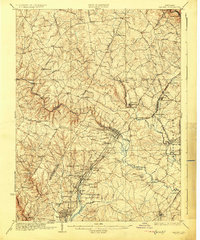 1926 Laurel1926 Print · USGSThe corridor between Baltimore and Washington is captured here in the mid-twenties, showcasing a landscape of river-powered industry and early rail networks. Genealogists can locate family landmarks like Hicks Mill, the Willis School, and the Montgomery Chapel Cem.4 unique versions available
 - 1942 Map of Laurel
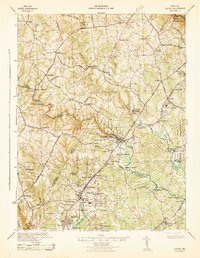 1942 Laurel1942 Print · USGSMaryland's corridor between Baltimore and Washington is seen here in the early 1940s as a land of rural schoolhouses and riverside mills. Researchers can trace family sites near Muirkirk, find the original Christian Brothers College, or locate historic river crossings like Brock Bridge and Duvall Bridge.
 - 1944 Map of Laurel
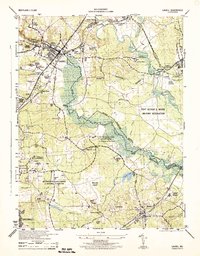 1944 Laurel1944 Print · USGSMaryland's interior between Baltimore and Washington shows a landscape of federal research and military activity during the war years. Genealogists and historians can trace the foundations of Greenbelt, the historic Laurel Race Track, and the specialized facilities of the Beltsville Research Center.
 - 1944 Map of Sykesville
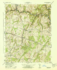 1944 Sykesville1944 Print · USGSMid-century Carroll and Howard counties are captured here just as the rural estate and railroad economies were evolving. Genealogists and historians can trace family locations near Doughoregan Manor, local burials at Mountain View Cemetery, or old rail stops at Gaither and Henryton.
 - 1944 Map of Ellicott City
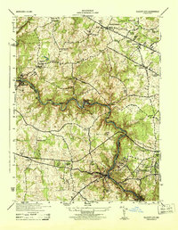 1944 Ellicott City1944 Print · USGSMaryland's Patapsco Valley comes alive in this wartime survey, showing the industrial river corridor and developing uplands between Howard and Baltimore counties. Researchers can trace the Baltimore and Ohio rail lines past Woodstock College, Alberton, and the busy streets of Ellicott City.
 - 1944 Map of Clarksville
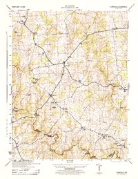 1944 Clarksville1944 Print · USGSHoward County's agricultural heartland is documented here in the mid-1940s, showing the early crossroads and river crossings of the Maryland interior. Genealogists can locate family landmarks like Atholton Church, the Dayton School, and several rural cemeteries near Clarksville.
 - 1944 Map of Relay
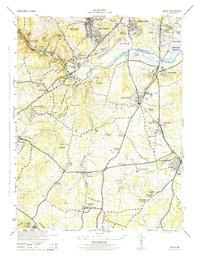 1944 Relay1944 Print · USGSMaryland's Patapsco River valley and the rail hubs south of Baltimore are captured here during the mid-forties. Researchers can trace historic church sites like Gaines Church, early industrial markers including the Distilleries near Relay, and named neighborhoods like English Consul.2 unique versions available
 - 1944 Map of Rockville, 1955 Print
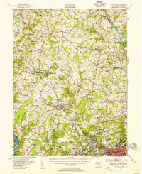 1944 Rockville1955 Print · USGSCentral Montgomery County is captured here in the mid-1940s as rural agriculture begins to meet suburban growth along the Baltimore and Ohio RR. Genealogists can locate family names at Beall Cem or trace rural settlements like Quince Orchard and Sunshine.
 - 1944 Map of Damascus, 1962 Print
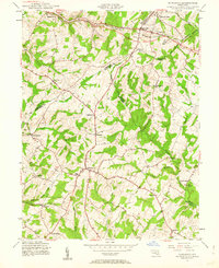 1944 Damascus1962 Print · USGSMid-century Montgomery County and its neighbors retain their rural character in this detailed survey of the Piedmont. Genealogists and local historians can trace the early road network connecting Damascus to outlying hamlets like Claggettsville, Kemptown, and Etchison.5 unique versions available
 - 1945 Map of Beltsville
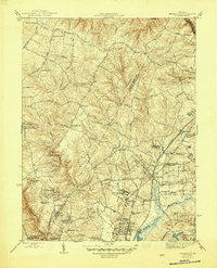 1945 Beltsville1945 Print · USGSThe northern Maryland suburbs show a mix of institutional grounds and rail-side settlements in the mid-forties. Researchers can trace the early footprints of Greenbelt, locate the Briarley Military Academy, and follow the Baltimore and Ohio Railroad through Ammendale and Muirkirk.3 unique versions available
Showing maps 1-25 of 116
Top cities of Howard County
- Columbia historical maps
- Ellicott City historical maps
- Clarksville historical maps
- Dayton historical maps
Frequently asked questions
- What are the different types of historical maps available for Howard County?
- What is the oldest map of Howard County?
- Where can I purchase historical maps of Howard County for my home or office?
- Where can I download high-res historical maps of Howard County?
- Are there historical topographic maps available for Howard County?
- Is there historical aerial imagery available for Howard County?
- Where are historical maps of Howard County sourced from?