Old Maps of Gaithersburg, Maryland for Genealogy
Trace your family roots with 40 historic maps of Gaithersburg. These high-res maps reveal old neighborhoods, homesites, landmarks, and streets — helping you uncover where your ancestors lived and how the area evolved over time.
- Explore historic neighborhoods: Identify where your relatives may have lived in the 1800s or 1900s.
- Compare maps over time: Trace the changes in streets, buildings, and landmarks for multi-generational research.
- Perfect for genealogy & ancestry research: Used by family historians and researchers to map out lineage and migration.
These maps are an incredible resource for exploring your personal connection to Gaithersburg's past.
Gaithersburg, MD maps
(40)- 1893 Map of Frederick
 1893 Frederick1893 Print · USGSMaryland's Piedmont region at the end of the nineteenth century reveals a landscape defined by the Potomac River and the rise of rail transit. Researchers can trace the path of the Chesapeake and Ohio Canal or locate local hubs like Poolesville and Buckeystown.
 - 1894 Map of Frederick
 1894 Frederick1894 Print · USGSMaryland's Piedmont region in the late nineteenth century was a complex network of river crossings and railway junctions. Researchers can trace the path of the Baltimore & Ohio R. R. past Sugar Loaf Mtn. and locate historic river sites like Nolands Ferry.5 unique versions available
 - 1908 Map of Rockville
 1908 Rockville1908 Print · USGSMontgomery County was a rural landscape of crossroads and rail towns in the early twentieth century. Genealogists and historians can trace the paths of the Metropolitan Branch and early transit lines like the Georgetown and Rockville Electric Road through towns such as Rockville and Washington Grove.3 unique versions available
 - 1908 Map of Seneca
 1908 Seneca1908 Print · USGSThe Potomac River valley at the turn of the century shows a vital landscape of canal commerce and emerging rail lines. Genealogists and historians can trace family-named sites across the Maryland-Virginia border, from Poolesville to river crossings at Whites Ferry and Edwards Ferry.7 unique versions available
 - 1923 Map of Rockville
 1923 Rockville1923 Print · USGSMontgomery County was a landscape of rail-linked towns and river valleys in the early twentieth century. Genealogists and historians can trace the foundations of Rockville or search for family-named landmarks like Mt Zion and the path of the Chesapeake and Ohio Canal.4 unique versions available
 - 1944 Map of Seneca
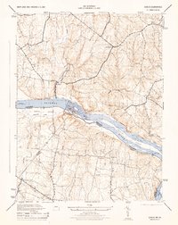 1944 Seneca1944 Print · USGSThe Potomac River valley and the Maryland-Virginia border are captured here during the mid-forties. Local historians can trace the Chesapeake and Ohio Canal and locate old crossroads like Darnestown, Quince Orchard, and Dranesville.2 unique versions available
 - 1944 Map of Rockville, 1955 Print
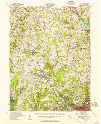 1944 Rockville1955 Print · USGSCentral Montgomery County is captured here in the mid-1940s as rural agriculture begins to meet suburban growth along the Baltimore and Ohio RR. Genealogists can locate family names at Beall Cem or trace rural settlements like Quince Orchard and Sunshine.
 - 1944 Map of Seneca, 1963 Print
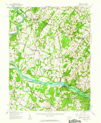 1944 Seneca1963 Print · USGSUpper Montgomery County and the Potomac River valley are captured here just before the expansion of the D.C. suburbs. Researchers can trace the legacy of river commerce and rail travel through the Chesapeake and Ohio Canal, the Monocacy Aqueduct, and the Baltimore and Ohio RR line.
 - 1945 Map of Rockville
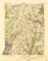 1945 Rockville1945 Print · USGSMontgomery County in the mid-1940s reveals a landscape of growing towns and riverfront heritage. Genealogists and historians can trace the foundations of Rockville, the operations at Congressional Airport, and the quiet reaches of the Chesapeake and Ohio Canal (Abandoned).2 unique versions available
 - 1945 Map of Gaithersburg, 1960 Print
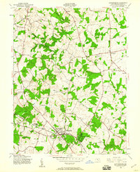 1945 Gaithersburg1960 Print · USGSUpper Montgomery County is captured here at the end of the Second World War, showing the rural character of the region before the post-war building boom. Researchers can trace the early footprints of Washington Grove and Gaithersburg or locate smaller historical communities like Prathertown, Emory Grove, and Laytonsville.4 unique versions available
 - 1948 Map of Baltimore
 1948 Baltimore1948 Print · USGSMaryland and Pennsylvania crossroads are captured in the late 1940s, showing a landscape defined by historic rail lines and major military installations. Genealogists can trace family connections in Gettysburg, Westminster, and near the U.S. Naval Academy in Annapolis.2 unique versions available
 - 1950 Map of Gaithersburg
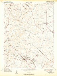 1950 Gaithersburg1950 Print · USGSMontgomery County was a landscape of small crossroads and rail-side villages mid-century, before the post-war building boom. Genealogists and local historians can trace the foundations of Gaithersburg and Washington Grove or locate the Brookgrove Sch and St Marys Home.2 unique versions available
 - 1951 Map of Rockville
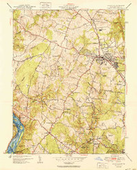 1951 Rockville1951 Print · USGSMontgomery County was in the midst of a postwar transition during the early fifties, balancing its rural roots with new suburban growth. Genealogists and historians can trace family landmarks like Scotland Sch, the Congressional Airport, and the Bells Mill site.2 unique versions available
 - 1952 Map of Seneca, 1954 Print
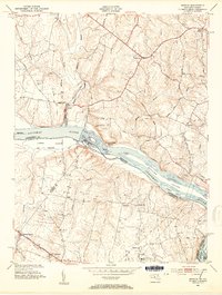 1952 Seneca1954 Print · USGSMaryland and Virginia borderlands met at the Potomac during the early fifties, before suburban expansion transformed these rural reaches. Researchers can trace the path of the Chesapeake and Ohio Canal and locate historic points like Darnestown and the Forestville Sch.4 unique versions available
 - 1954 Map of Baltimore
 1954 Baltimore1954 Print · USGSThe Mid-Atlantic region in the early fifties shows a landscape of growing suburban centers and heavy rail corridors. Trace mid-century transit networks and military landmarks from the Aberdeen Proving Ground to the Gettysburg National Military Park.
 - 1956 Map of Baltimore
 1956 Baltimore1956 Print · USGSMid-century Maryland and Pennsylvania are captured here during a period of massive suburban and military growth across the Chesapeake region. Genealogists and historians can trace the rail corridors of the Baltimore & Ohio RR and locate landmarks like Fort McHenry or the Aberdeen Proving Ground.
 - 1956 Map of Rockville, 1958 Print
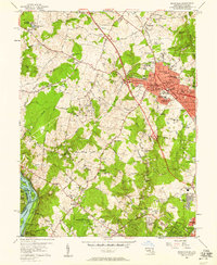 1956 Rockville1958 Print · USGSMid-century Rockville and the surrounding Maryland countryside are captured here during a period of rapid suburbanization and civic growth. Genealogists and local researchers can trace family landmarks and schools including Lincoln Jr High Sch, the historic Scotland community, and the Congressional Airport.2 unique versions available
 - 1957 Map of Baltimore, 1964 Print
 1957 Baltimore1964 Print · USGSMaryland and Southern Pennsylvania are shown during the mid-century expansion of the Baltimore-Washington corridor. Researchers can trace the extensive rail lines of the Baltimore & Ohio RR and locate sites like Fort Detrick and Gettysburg National Military Park.5 unique versions available
 - 1961 Map of Baltimore
 1961 Baltimore1961 Print · USGSMaryland and Pennsylvania are captured at a mid-century peak of industrial and military expansion. Genealogists and historians can trace rail corridors like the Western Maryland Ry or locate regional landmarks such as Camp Detrick and Kent Island.
 - 1965 Map of Rockville, 1966 Print
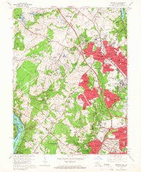 1965 Rockville1966 Print · USGSMid-century Montgomery County is captured during its suburban boom, showing the transition from agricultural tracts to sprawling residential neighborhoods. Researchers can trace family roots through numerous schools and churches like Lincoln Park Sch or locate the historic Chesapeake and Ohio Canal and the Shady Grove Music Fair.5 unique versions available
 - 1968 Map of Seneca, 1970 Print
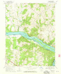 1968 Seneca1970 Print · USGSThe Potomac River borderlands in the late sixties reveal a landscape of river islands and growing crossroads communities. Researchers can trace the Chesapeake and Ohio Canal Towpath or locate family sites near Salem Ch and Darnestown.4 unique versions available
 - 1981 Map of Gaithersburg, 1986 Print
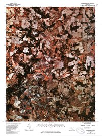 1981 Gaithersburg1986 Print · USGSMontgomery County was undergoing a period of significant suburban growth when this 1981 survey was conducted. Trace the developing street patterns of Montgomery Village and Gaithersburg alongside established spots like Washington Grove.
 - 1984 Map of Frederick, 1985 Print
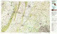 1984 Frederick1985 Print · USGSMaryland's Piedmont and the Potomac River valley are shown here in the mid-eighties as suburban growth began to meet historic rural landscapes. Genealogists and historians can trace the paths of the Baltimore and Ohio RR or locate the boundaries of Antietam National Battlefield and Fort Detrick.
 - 1989 Map of Baltimore
 1989 Baltimore1989 Print · USGSThe Mid-Atlantic corridor in the late eighties is captured here, from the Baltimore harbor to the Blue Ridge foothills. Researchers can trace the sprawling footprints of Aberdeen Proving Ground, the historic grounds of Gettysburg National Military Park, and the winding Susquehanna River.
 - 1994 Map of Seneca, 1998 Print
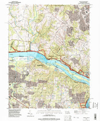 1994 Seneca1998 Print · USGSThe Potomac River corridor in the mid-1990s showcases a landscape where historical navigation and modern conservation meet. Researchers can trace the path of the Chesapeake and Ohio Canal Towpath and locate local landmarks like Dranesville Tavern Park and Arnon Ch.
Showing maps 1-25 of 40
Top cities near Gaithersburg
- Washington historical maps
- Germantown historical maps
- Silver Spring historical maps
- Bethesda historical maps
- Rockville historical maps
- Reston historical maps
See more
Top neighborhoods of Gaithersburg
- Observatory Heights historical maps
- Kentlands historical maps
- Market Square historical maps
- Amberfield historical maps
- Brighton West Condominiums historical maps
- Crown historical maps
See more
Frequently asked questions
- What are the different types of historical maps available for Gaithersburg?
- What is the oldest map of Gaithersburg?
- Where can I purchase historical maps of Gaithersburg for my home or office?
- Where can I download high-res historical maps of Gaithersburg?
- Are there historical topographic maps available for Gaithersburg?
- Is there historical aerial imagery available for Gaithersburg?
- Where are historical maps of Gaithersburg sourced from?