Old Maps of Champ, Maryland for Metal Detecting
Plan your next treasure hunt with 16 historic maps of Champ. Find old homesites, ghost towns, trails, and gathering spots that may be lost to time — perfect for identifying promising metal detecting locations.
- Locate forgotten sites: Uncover places like long-lost settlements, abandoned rail lines, or gathering spots.
- Plan better hunts: Use map overlays combined with LiDAR or satellite views to narrow in on historically rich areas.
- Made for detectorists: Thousands of hobbyists use these maps to discover relics, coins, and hidden history.
Use these historic maps to boost your research and find new opportunities beneath the surface of Champ.
Champ, MD maps
(16)- 1903 Map of Deal Island
 1903 Deal Island1903 Print · USGSSomerset County's coastal marshes and island communities come to life in this turn-of-the-century survey of the Chesapeake. Genealogists and maritime historians can trace family locations from DEAL ISLAND to Upper Fairmount, and locate early navigation aids like Great Shoals L.H. or the rail terminus at Hopewell.3 unique versions available
 - 1942 Map of Monie, 1958 Print
 1942 Monie1958 Print · USGSCoastal Somerset County in the early 1940s is a landscape of expansive tidal marshes and isolated necks. Genealogists can trace family footprints through the dispersed communities of Oriole, Venton, and Champ, or locate rural landmarks like St Peters ME Church.
 - 1943 Map of Monie
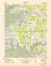 1943 Monie1943 Print · USGSCoastal Somerset County in the early 1940s is a landscape of tidal marshes and small fishing settlements. Genealogists and local historians can locate family landmarks like St Peters ME Church in Oriole and trace the reaches of Monie Creek and the Manokin River.
 - 1946 Map of Salisbury, 1948 Print
 1946 Salisbury1948 Print · USGSThe Delmarva Peninsula in the late nineteen-forties shows a landscape defined by its deep river arteries and emerging coastal defenses. Genealogists and historians can trace rail-connected towns like Federalsburg or locate maritime landmarks such as the Ocean City Seaplane Base and Fort Miles Military Reservation.4 unique versions available
 - 1947 Map of Salisbury, 1948 Print
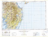 1947 Salisbury1948 Print · USGSThe Delmarva Peninsula in the late forties reveals a coastal landscape of maritime defense and growing seaside towns. Trace the post-war footprint of Salisbury, the strategic Fort Miles Military Reservation, and the Ocean City Seaplane Base.
 - 1948 Map of Salisbury, 1951 Print
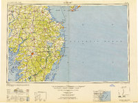 1948 Salisbury1951 Print · USGSThe Delmarva Peninsula in the late 1940s is shown here as a busy network of rail-towns and coastal outposts. Researchers can trace the legacy of the Pennsylvania Railroad through inland hubs like Georgetown or the maritime reaches of Crisfield and Cape May.
 - 1957 Map of Salisbury
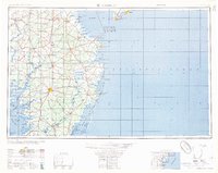 1957 Salisbury1957 Print · USGSThe Delmarva Peninsula in the mid-1950s reveals a landscape of coastal defenses and rail-driven commerce. Researchers can trace the Pennsylvania railroad lines or locate historic landmarks like the Fenwick Island Lighthouse and St Martin church.
 - 1961 Map of Salisbury
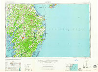 1961 Salisbury1961 Print · USGSThe Delmarva Peninsula comes into focus in the early sixties, showing the vital road and rail networks connecting the Chesapeake to the Atlantic. Genealogists and historians can trace family-named landings and coastal landmarks from Crisfield to the Brandywine Shoal Lighthouse.
 - 1965 Map of Salisbury
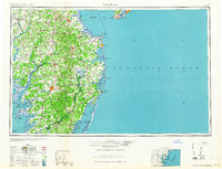 1965 Salisbury1965 Print · USGSThe Delmarva Peninsula in the mid-1960s is depicted here as a landscape of coastal defenses and maritime hubs. Genealogists and local historians can trace the foundations of bayside towns like Crisfield and the tactical positioning of the Fort Miles Military Reservation and Cape May Naval Air Station.
 - 1972 Map of Monie, 1975 Print
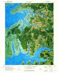 1972 Monie1975 Print · USGSSomerset County's tidal marshes and small coastal hamlets are frozen in time during the early seventies. Genealogists and local historians can trace family roots through the many small churches and roads like St James Ch, Oriole Cem, and Millard Long Road.2 unique versions available
 - 1983 Map of Salisbury, 1984 Print
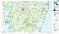 1983 Salisbury1984 Print · USGSThe Lower Eastern Shore was a landscape of tide and timber in the early eighties, from the bustling streets of Salisbury to the wild coast of Assateague Island. Researchers can trace the rail-and-road network of the Conrail and U S Highway 50 while locating historic centers like Princess Anne and Crisfield.
 - 2011 Map of Monie, 2011 Print
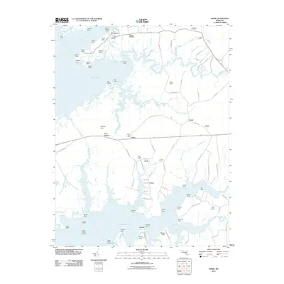 2011 Monie2011 Print · USGSCoastal Somerset County in the early twenty-first century remains a landscape of tidal marshes and quiet bayfront hamlets. Genealogists and local historians can trace family names through several historic burial sites, including Asbury and All Saints Cemetery, or locate the old Monie and Oriole Post Offices.
 - 2014 Map of Monie, 2014 Print
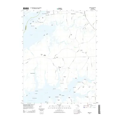 2014 Monie2014 Print · USGSThe marshy necks and coastal reaches of Somerset County appear here in fine detail during the early 2010s. Genealogists and local historians can trace family ties through numerous sites like Asbury Cem, All Saints Cem, and the old settlement at Dames Quarter.
 - 2016 Map of Monie, 2016 Print
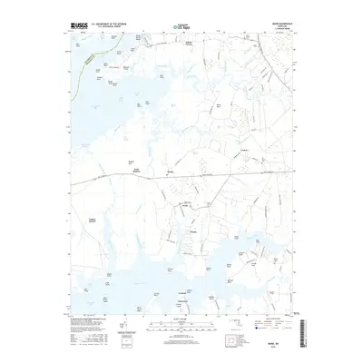 2016 Monie2016 Print · USGSCoastal Somerset County is shown in this contemporary study as a world of tidal inlets and historic neck settlements. Trace family roots at Oriole Cem or Mount Olivet Cem, and follow the old roads leading to Dames Quarter and Mount Vernon.
 - 2019 Map of Monie, 2019 Print
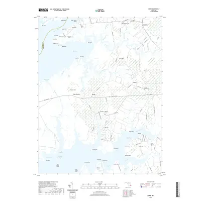 2019 Monie2019 Print · USGSThe Eastern Shore of Maryland in the early twenty-first century reveals a landscape defined by tidal marshes and quiet coastal hamlets. Genealogists can trace family footprints through numerous churchyards like Mount Grace Episcopal Cem and Oriole Cem near the banks of Monie Creek.
 - 2023 Map of Monie, 2023 Print
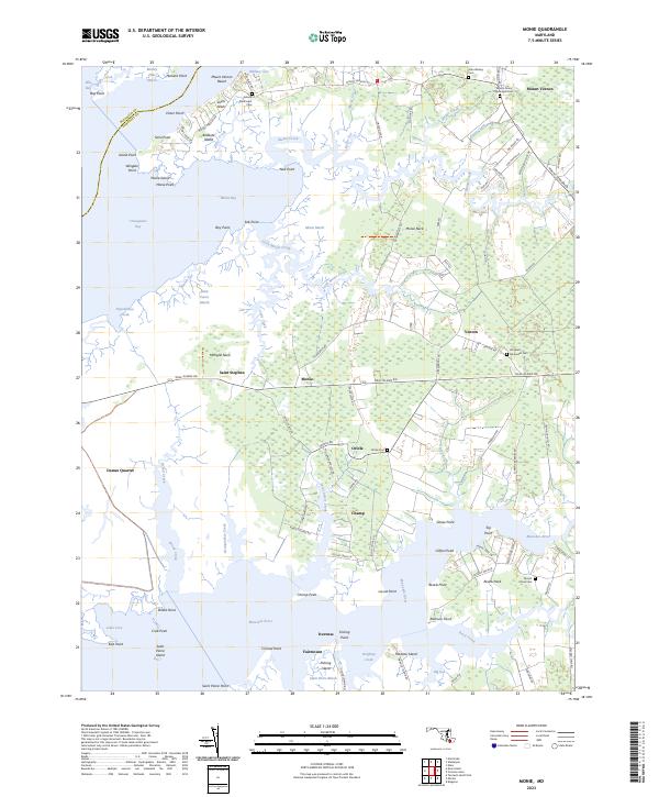 2023 Monie2023 Print · USGSChesapeake tidewaters and the salt marshes of Somerset County define this coastal area at the start of the 2020s. Researchers can trace family history through sites like All Saints Methodist Cem or the small settlements of Venton and Dames Quarter.
End of results
Showing maps 1-16 of 16
Top cities near Champ
- Salisbury historical maps
- Fruitland historical maps
- Pocomoke City historical maps
- Princess Anne historical maps
- Crisfield historical maps
- Saxis historical maps
See more
Frequently asked questions
- What are the different types of historical maps available for Champ?
- What is the oldest map of Champ?
- Where can I purchase historical maps of Champ for my home or office?
- Where can I download high-res historical maps of Champ?
- Are there historical topographic maps available for Champ?
- Is there historical aerial imagery available for Champ?
- Where are historical maps of Champ sourced from?