2000s (21st Century) Maps of Chatham, Massachusetts
Explore 30 historic maps of Chatham from the 2000s (21st Century). These maps offer a rare glimpse into what life looked like during the 2000s — showing old roads, neighborhoods, homes, and landmarks that have changed or disappeared over time.
Whether you're researching your family's past, planning a metal detecting trip, or studying how Chatham's landscape evolved across the 2000s, these high-resolution maps are a powerful tool for exploring the history of this region.
- Focus on a specific era: All maps on this page are from the 2000s, giving you a focused view of this time period.
- See what’s changed: Compare century-old streets, trails, and buildings to today's modern landscape using overlays and satellite layers.
- Research with precision: Use these maps for genealogy, historical research, land use analysis, or educational projects.
- View, download, or print: Maps are fully viewable online in high resolution, and can be downloaded or printed for your own records.
Start exploring Chatham's history through authentic maps from the 2000s. This is your window into the past.
Chatham, MA maps
(30)- 2012 Map of Chatham, 2012 Print
 2012 Chatham2012 Print · USGSCovers Chatham, including Harwich, Brewster, and other nearby areas
 - 2012 Map of Monomoy Point, 2012 Print
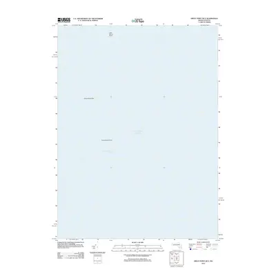
 2012 Monomoy Point2012 Print · USGSCovers Chatham, including Barnstable County, United States, and other nearby areas
 - 2012 Map of Monomoy Point OE W, 2012 Print
 2012 Monomoy Point OE W2012 Print · USGSCovers Chatham, including Dennis, Harwich, and other nearby areas
 - 2012 Map of Harwich, 2012 Print
 2012 Harwich2012 Print · USGSCovers Chatham, including Dennis, Harwich, and other nearby areas
 - 2012 Map of Great Point OE E, 2012 Print
 2012 Great Point OE E2012 Print · USGSCovers Chatham, including Barnstable County, Nantucket, and other nearby areas
 - 2012 Map of Great Point, 2012 Print
 2012 Great Point2012 Print · USGSCovers Chatham, including Barnstable County, Nantucket, and other nearby areas
 - 2015 Map of Monomoy Point OE W, 2015 Print
 2015 Monomoy Point OE W2015 Print · USGSCovers Chatham, including Dennis, Harwich, and other nearby areas
 - 2015 Map of Monomoy Point, 2015 Print
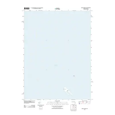
 2015 Monomoy Point2015 Print · USGSCovers Chatham, including Barnstable County, United States, and other nearby areas
 - 2015 Map of Great Point OE E, 2015 Print
 2015 Great Point OE E2015 Print · USGSCovers Chatham, including Barnstable County, Nantucket, and other nearby areas
 - 2015 Map of Great Point, 2015 Print
 2015 Great Point2015 Print · USGSCovers Chatham, including Barnstable County, Nantucket, and other nearby areas
 - 2015 Map of Harwich, 2015 Print
 2015 Harwich2015 Print · USGSCovers Chatham, including Dennis, Harwich, and other nearby areas
 - 2015 Map of Chatham, 2015 Print
 2015 Chatham2015 Print · USGSCovers Chatham, including Harwich, Brewster, and other nearby areas
 - 2018 Map of Great Point OE E, 2018 Print
 2018 Great Point OE E2018 Print · USGSCovers Chatham, including Barnstable County, Nantucket, and other nearby areas
 - 2018 Map of Great Point, 2018 Print
 2018 Great Point2018 Print · USGSCovers Chatham, including Barnstable County, Nantucket, and other nearby areas
 - 2018 Map of Chatham, 2018 Print
 2018 Chatham2018 Print · USGSCovers Chatham, including Harwich, Brewster, and other nearby areas
 - 2018 Map of Monomoy Point, 2018 Print
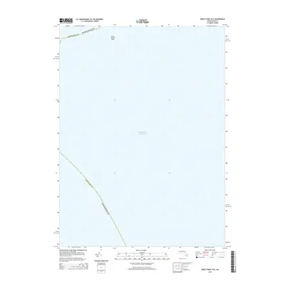
 2018 Monomoy Point2018 Print · USGSCovers Chatham, including Barnstable County, United States, and other nearby areas
 - 2018 Map of Harwich, 2018 Print
 2018 Harwich2018 Print · USGSCovers Chatham, including Dennis, Harwich, and other nearby areas
 - 2018 Map of Monomoy Point OE W, 2018 Print
 2018 Monomoy Point OE W2018 Print · USGSCovers Chatham, including Dennis, Harwich, and other nearby areas
 - 2021 Map of Chatham, 2021 Print
 2021 Chatham2021 Print · USGSCovers Chatham, including Harwich, Brewster, and other nearby areas
 - 2021 Map of Great Point OE E, 2021 Print
 2021 Great Point OE E2021 Print · USGSCovers Chatham, including Barnstable County, Nantucket, and other nearby areas
 - 2021 Map of Monomoy Point OE W, 2021 Print
 2021 Monomoy Point OE W2021 Print · USGSCovers Chatham, including Dennis, Harwich, and other nearby areas
 - 2021 Map of Harwich, 2021 Print
 2021 Harwich2021 Print · USGSCovers Chatham, including Dennis, Harwich, and other nearby areas
 - 2021 Map of Great Point, 2021 Print
 2021 Great Point2021 Print · USGSCovers Chatham, including Barnstable County, Nantucket, and other nearby areas
 - 2021 Map of Monomoy Point, 2021 Print
 2021 Monomoy Point2021 Print · USGSCovers Chatham, including Barnstable County, United States, and other nearby areas
 - 2024 Map of Monomoy Point OE W, 2024 Print
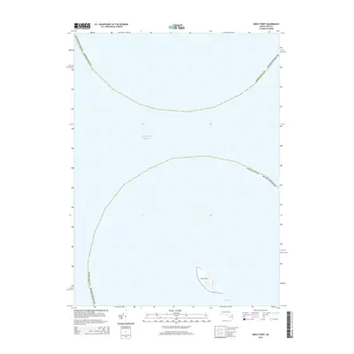
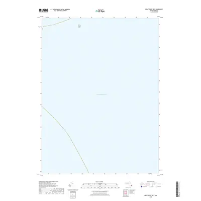
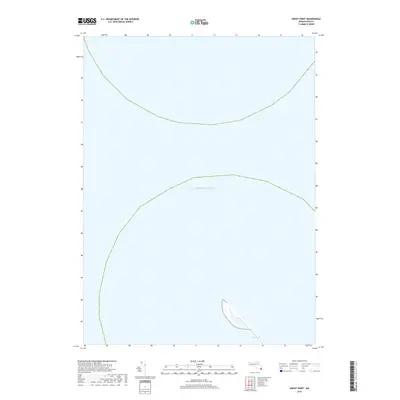
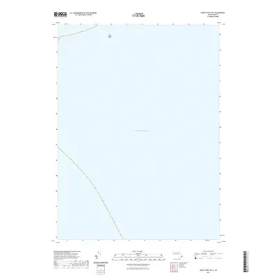
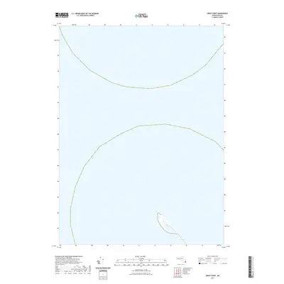
 2024 Monomoy Point OE W2024 Print · USGSMonomoy Point at the southern edge of Cape Cod is shown here as a maritime wilderness of shifting sands and tidal marshes. Researchers can trace the coastal morphology of the Monomoy Wilderness and locate landmarks like Powder Hole and Shovelful Shoal.
Showing maps 1-25 of 30
Top cities near Chatham
- Yarmouth historical maps
- Dennis historical maps
- Harwich historical maps
- Brewster historical maps
- Orleans historical maps
- Eastham historical maps
Top neighborhoods of Chatham
- Chatham Port historical maps
- Quitnesset historical maps
- West Chatham historical maps
- South Chatham historical maps
- North Chatham historical maps
- Halls Bluff historical maps
See more
Frequently asked questions
- What are the different types of historical maps available for Chatham?
- What is the oldest map of Chatham?
- Where can I purchase historical maps of Chatham for my home or office?
- Where can I download high-res historical maps of Chatham?
- Are there historical topographic maps available for Chatham?
- Is there historical aerial imagery available for Chatham?
- Where are historical maps of Chatham sourced from?