Old Maps of North Eastham, Eastham for Academic Research
Study the evolution of North Eastham with 22 high-resolution historic maps. Whether you're teaching, researching, or modeling changes in land use, these maps provide essential visual documentation of urban, environmental, and geographic change.
- Analyze long-term change: Track patterns in development, transportation, and natural features.
- Ideal for environmental or urban studies: Support academic projects with primary historical map data.
- Use in the classroom or lab: Educators and researchers rely on these maps to bring historical context to life.
These maps are a powerful tool for teaching, research, and visualizing how North Eastham has changed over the decades.
North Eastham, Eastham maps
(22)- 1887 Map of Wellfleet
 1887 Wellfleet1887 Print · USGSThe lower Cape comes into focus during the late nineteenth and early twentieth centuries as the railroad reshapes coastal commerce. Genealogists and historians can trace family locations near the Methodist Camp Ground, Mayo's Beach Light, and the Marconi Towers.
 - 1889 Map of Wellfleet
 1889 Wellfleet1889 Print · USGSThe Lower Cape is shown here in the late nineteenth century as a vital maritime and railroad corridor. Genealogists and historians can trace the early rail stops and shoreline landmarks like the Methodist Camp Ground and the Billingsgate Light.
 - 1893 Map of Wellfleet
 1893 Wellfleet1893 Print · USGSCape Cod's outer reaches are shown in the late 1800s, when the Old Colony Railroad served isolated fishing villages and lifesaving stations. Trace historic sites like the Methodist Camp Ground, Billingsgate Light, and early schools at Schoolhouse Pond.8 unique versions available
 - 1942 Map of Nauset, 1943 Print
 1942 Nauset1943 Print · USGSLower Cape Cod and its maritime frontier are captured here during the early Forties, showing the vital coastal infrastructure of the era. Genealogists and historians can trace family locations and landmarks from South Wellfleet to Chatham, including Nauset Beach Light and several Life Saving Stations.
 - 1944 Map of Orleans
 1944 Orleans1944 Print · USGSCoastal life on the Outer Cape is captured here during the early forties, showing the transition from traditional maritime work to early recreation. Trace the old rail line of the New York New Haven and Hartford or locate historical landmarks like the Nauset Beach Lighthouse and Evergreen Cem.3 unique versions available
 - 1946 Map of Orleans, 1958 Print
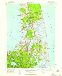 1946 Orleans1958 Print · USGSThe Lower Cape is mapped here just after the war, showing the coastal villages of Barnstable County before modern expansion. Genealogists and historians can trace family locations near Evergreen Cemetery, the Nauset Beach Lighthouse, and historic landings like Rock Harbor.2 unique versions available
 - 1947 Map of Providence, 1948 Print
 1947 Providence1948 Print · USGSSouthern New England is captured in the mid-1940s, showing a landscape defined by busy industrial ports and expanding military installations. Researchers can trace the rail lines of the N.Y. N.H. & H. RR or locate coastal defenses like Fort Adams and Quonset Point.5 unique versions available
 - 1948 Map of Providence, 1951 Print
 1948 Providence1951 Print · USGSSouthern New England’s coastal reaches are captured here in the late 1940s, from the industrial heart of Providence to the tip of Provincetown. Genealogists and historians can trace rail lines like the Central Vermont Railway and locate active military sites such as Otis Air Force Base and Fort Rodman.
 - 1957 Map of Providence
 1957 Providence1957 Print · USGSCoastal New England at the height of the mid-century era shows a landscape shaped by maritime industry and Cold War defense. Genealogists and historians can trace the reach of the New York, New Haven & Hartford RR and locate legacy sites like Fort Adams and Quonset Point Naval Air Station.
 - 1958 Map of Providence
 1958 Providence1958 Print · USGSThe Rhode Island and Massachusetts coastlines are shown in detail during the late 1950s, from the urban cores to the tips of the islands. Researchers can trace the mid-century footprint of Quonset Point Naval Air Station, the defense works at Fort Adams, and the rail network of the New York, New Haven and Hartford RR.
 - 1962 Map of Orleans, 1964 Print
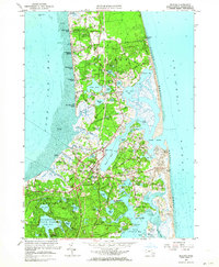 1962 Orleans1964 Print · USGSThe outer Cape during the early sixties reveals a landscape of interconnected tidal harbors and cranberry culture. Genealogists and historians can trace the foundations of Orleans and North Eastham, locating the Nauset Beach Lighthouse, Evergreen Cemetery, and the New Haven RR line.2 unique versions available
 - 1963 Map of Providence
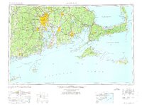 1963 Providence1963 Print · USGSSouthern New England's coastal and industrial heartland is captured here in the early sixties, from the Rhode Island mainland to the far reaches of the Cape. Researchers can trace mid-century growth in Providence or locate landmarks on Marthas Vineyard and Nantucket Island.
 - 1974 Map of Orleans, 1976 Print
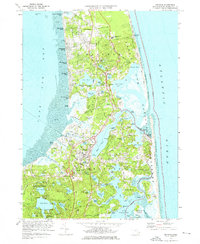 1974 Orleans1976 Print · USGSLower Cape Cod in the mid-seventies shows a landscape of protected shoreline and growing seasonal communities. Researchers can trace the legacy of the peninsula through landmarks like Nauset Light, the Penn Central rail corridor, and the grounds of Soldiers Cem.3 unique versions available
 - 1977 Map of Orleans, 1981 Print
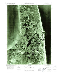 1977 Orleans1981 Print · USGSCape Cod's outer reaches appear in striking photographic detail during the late 1970s, showcasing the interplay of water and sand. Trace coastal changes and properties across Orleans, Eastham, and the fragile sands of Nauset Beach.
 - 1986 Map of Chatham
 1986 Chatham1986 Print · USGSThe outer Cape Cod coastline is frozen in the mid-1980s, showing the delicate barrier beaches and maritime infrastructure before more recent coastal erosion. Researchers can trace landforms and local landmarks like Nauset Beach Lighthouse, the settlements of Chatham, and the protected waters of Pleasant Bay.
 - 1993 Map of Chatham, 1994 Print
 1993 Chatham1994 Print · USGSBarnstable County's outer coast appears here in the early nineties, showcasing the protected lands of the Cape Cod National Seashore. Researchers can trace the shoreline from Nauset Beach Lighthouse down to the Monomoy National Wildlife Refuge.
 - 2012 Map of Orleans, 2012 Print
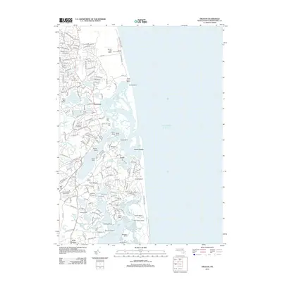 2012 Orleans2012 Print · USGSThe outer Cape's shifting coastline and historic villages are captured here during the early twenty-first century. Genealogists and researchers can locate old burial sites like Cove Burying Ground and Evergreen Cem or trace landmarks like The Eastham Mill.
 - 2015 Map of Orleans, 2015 Print
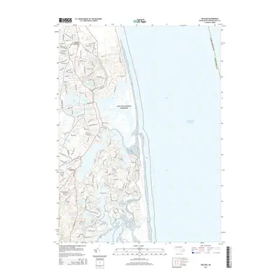 2015 Orleans2015 Print · USGSThe Lower Cape's complex shoreline and kettle ponds are shown here in detail during the early twenty-first century. Researchers can trace local landmarks and property access from North Eastham to Orleans, including sites like Crystal Lake, Salt Pond, and Rock Harbor Cr.
 - 2018 Map of Orleans, 2018 Print
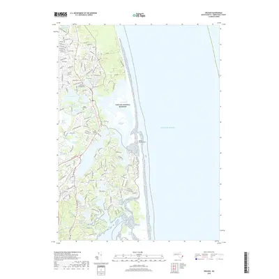 2018 Orleans2018 Print · USGSCape Cod's outer arm is captured here in detail, showing the delicate balance of marshland and maritime settlement. Researchers can locate numerous historic burial sites like Cove Burying Ground and Bridge Road Cem while tracing the edges of Nauset Marsh.
 - 2021 Map of Orleans, 2021 Print
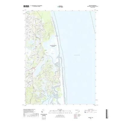 2021 Orleans2021 Print · USGSThe Lower Cape's intricate shoreline and glacial ponds come to life in this contemporary survey of the Orleans and Eastham area. Genealogists and historians can locate several resting places like Cove Burying Ground Cem and trace the path of the Cape Cod Rail Trl.
 - 2023 Map of Orleans, 2023 Print
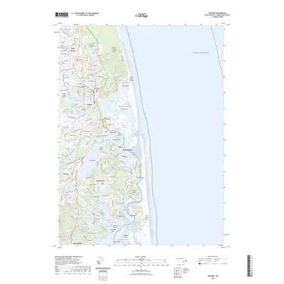 2023 Orleans2023 Print · USGSThe Lower Cape's intricate shoreline is documented here as it appeared in the early 2020s, spanning the communities of Eastham and Orleans. Genealogists and local historians can locate several burial grounds, including Evergreen Cem and Bridge Road Cem, or trace the winding edges of Nauset Marsh.
 - 2024 Map of Orleans, 2024 Print
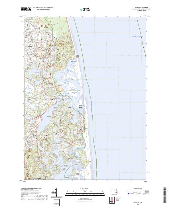 2024 Orleans2024 Print · USGSThe Lower Cape's shorelines and villages are documented here in detail, showcasing the region's unique maritime and glacial geography. Researchers can trace historic burial sites like Cove Burying Ground Cem and follow the route of the Cape Cod Rail Trl.
End of results
Showing maps 1-22 of 22
Top cities near North Eastham
- Yarmouth historical maps
- Dennis historical maps
- Harwich historical maps
- Brewster historical maps
- Chatham historical maps
- Orleans historical maps
See more
Frequently asked questions
- What are the different types of historical maps available for North Eastham?
- What is the oldest map of North Eastham?
- Where can I purchase historical maps of North Eastham for my home or office?
- Where can I download high-res historical maps of North Eastham?
- Are there historical topographic maps available for North Eastham?
- Is there historical aerial imagery available for North Eastham?
- Where are historical maps of North Eastham sourced from?