
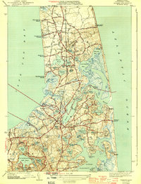
1944 Map of Orleans
USGS Topo · Published 1944About this map
Nauset Beach Lighthouse stands as a sentinel on the Atlantic coast of this Outer Cape landscape, surveyed just before the mid-1940s. The settlement patterns of Eastham and Orleans are defined by a dense network of freshwater ponds and saltwater inlets, from the expansive Nauset Harbor to the smaller Cedar Pond. The New York New Haven and Hartford railroad cuts through the center of the peninsula, connecting North Eastham to the village of Orleans. This era of Cape Cod history is marked by established coastal landmarks like the Nauset C G Sta and the burgeoning recreational presence of Nickerson State Park, which includes a CCC Camp near Flax Pond. Significant local heritage is preserved at sites like Evergreen Cem and First Encounter Beach, reflecting the deep maritime and colonial roots of the region.
Find a feature on this map
93 named features on this map. Tap any name to fly to it.
Don’t see what you’re looking for? This feature index may not catch every label — zoom into the map to look around manually.
Map Details
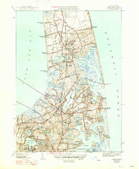
Editions of this 1944 Orleans Map
3 editions found
Other maps of this area

1887 · Wellfleet
USGS Topo · 1:62,500

1887 · Yarmouth
USGS Topo · 1:62,500

1888 · Chatham
USGS Topo · 1:62,500

1889 · Yarmouth
USGS Topo · 1:62,500

1889 · Wellfleet
USGS Topo · 1:62,500

1893 · Chatham
USGS Topo · 1:62,500

1893 · Yarmouth
USGS Topo · 1:62,500

1893 · Wellfleet
USGS Topo · 1:62,500

1917 · Chatham
USGS Topo · 1:62,500

1942 · Cape Cod Bay
USGS Topo · 1:125,000