Old Maps of Brookside, Great Barrington for Genealogy
Trace your family roots with 27 historic maps of Brookside. These high-res maps reveal old neighborhoods, homesites, landmarks, and streets — helping you uncover where your ancestors lived and how the area evolved over time.
- Explore historic neighborhoods: Identify where your relatives may have lived in the 1800s or 1900s.
- Compare maps over time: Trace the changes in streets, buildings, and landmarks for multi-generational research.
- Perfect for genealogy & ancestry research: Used by family historians and researchers to map out lineage and migration.
These maps are an incredible resource for exploring your personal connection to Brookside's past.
Brookside, Great Barrington maps
(27)- 1885 Map of Sheffield
 1885 Sheffield1885 Print · USGSThe Berkshires meet the Connecticut and New York borders during a period of heavy rail expansion and riverside industry. Genealogists can trace family roots through settlements like Gomorrah, Sodom, and North Egremont, or locate landmarks such as Union Church and Ashley Falls.
 - 1888 Map of Sheffield
 1888 Sheffield1888 Print · USGSThe Housatonic Valley in the 1880s is captured here at the height of its rail-and-mill era, spanning the borderlands of Massachusetts and Connecticut. Researchers can trace the original routes of the Housatonic Railroad and locate community landmarks like Union Church and Twin Lakes Station.
 - 1891 Map of Sheffield
 1891 Sheffield1891 Print · USGSThe Housatonic Valley in the 1890s reveals a bustling corridor of rail-and-river commerce at the foot of the Berkshire mountains. Genealogists and historians can trace Victorian-era settlements from Great Barrington to Sheffield, locating old landmarks like Union Church and Chapinville Station.
 - 1893 Map of Sheffield
 1893 Sheffield1893 Print · USGSThe Housatonic River valley flourished at the end of the century as a hub for rail and water-powered industry. Researchers can trace the path of the Housatonic Railroad through Great Barrington and locate landmarks like Union Church and Bashbish Falls.
 - 1897 Map of Sheffield
 1897 Sheffield1897 Print · USGSThe Housatonic valley and the Berkshire foothills are captured here in the late 1800s, showing a landscape defined by river-driven industry and early rail lines. Trace family roots and old homesteads in Great Barrington, South Egremont, and the high mountain village of Mt Washington.10 unique versions available
 - 1899 Map of Housatonic
 1899 Housatonic1899 Print · USGSThe Berkshire hills at the close of the nineteenth century reveal a landscape of industrial hamlets and Shaker settlements. Trace the rail-and-river economy through Lenox Furnace, locate the historic Shaker Village, and find landmarks like Laura Tower.
 - 1900 Map of Housatonic
 1900 Housatonic1900 Print · USGSThe Berkshires and the Housatonic Valley are captured here at a moment of industrial and social transition during the late Victorian era. Genealogists and historians can trace the early rail networks of the Boston and Albany R.R. through old settlements like Shaker Village and Lenox Furnace.5 unique versions available
 - 1943 Map of Housatonic
 1943 Housatonic1943 Print · USGSThe Berkshires and the Housatonic Valley are captured during the war years, showing a landscape of traditional Shaker settlements and growing industrial centers. Trace the routes of the NY NH & H RR and explore sites like Shaker Village, Richmond Furnace, and Rockdale Mills.
 - 1946 Map of Great Barrington, 1958 Print
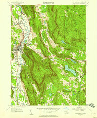 1946 Great Barrington1958 Print · USGSThe Berkshire valley around Great Barrington is documented here shortly after the war, showing a landscape defined by the Housatonic River and the ridge of Monument Mountain. Genealogists and historians can trace local schoolhouse locations like Corashire Sch or follow the early route of the Appalachian Trail.
 - 1948 Map of Great Barrington
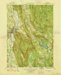 1948 Great Barrington1948 Print · USGSSouthern Berkshire County in the late 1940s centers on the bustling valley of the Housatonic River and the heights of Beartown Mountain. Genealogists and historians can trace rail-era settlements at Van Duesenville, rural education at Boardman Sch, and early trails like the Appalachian Trail.2 unique versions available
 - 1948 Map of Albany, 1951 Print
 1948 Albany1951 Print · USGSThe Hudson and Connecticut River valleys are captured here in the late 1940s, showing the vital rail and water corridors of the Northeast. You can trace the Boston and Maine tracks past Mt Greylock or locate early settlements like Great Barrington and Bennington.
 - 1956 Map of Albany, 1968 Print
 1956 Albany1968 Print · USGSThe industrial heart of the Northeast is revealed in the mid-1950s, from the Hudson Valley to the Connecticut River. Researchers can trace the legacy of the Quabbin Reservoir, locate Westover Air Force Base, or follow the Rutland RR through the Green Mountains.2 unique versions available
 - 1957 Map of Albany
 1957 Albany1957 Print · USGSThe Tri-State region and Connecticut River Valley are captured here during a period of significant postwar growth and infrastructure expansion. Genealogists and historians can trace the rail-and-river economy through landmarks like the Boston and Maine railroad, Quabbin Reservoir, and Westover Air Force Base.
 - 1958 Map of Great Barrington, 1960 Print
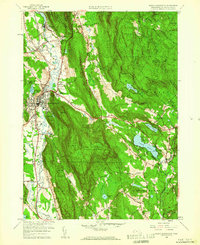 1958 Great Barrington1960 Print · USGSBerkshire County life in the late fifties is centered on Great Barrington and the Housatonic River valley. Genealogists and hikers can trace the Appalachian Trail over Warner Mtn or locate family plots in Elmwood Cem and Berkshire Cem.2 unique versions available
 - 1959 Map of Albany
 1959 Albany1959 Print · USGSThe Hudson and Connecticut River valleys are captured here during the late fifties, showing the region's dense rail networks and massive water projects. Researchers can trace the New York State Thruway or locate local landmarks like Mt Greylock and the Quabbin Reservoir.
 - 1962 Map of Albany
 1962 Albany1962 Print · USGSThe Hudson and Connecticut River valleys meet the Green Mountains and Berkshires in this mid-century overview of the Northeast. Genealogists and historians can trace the industrial hearts of Albany and Springfield or locate features like Quabbin Reservoir and Westover Air Force Base.
 - 1973 Map of Great Barrington, 1974 Print
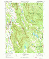 1973 Great Barrington1974 Print · USGSThe Housatonic Valley in the early seventies shows a maturing Berkshire landscape where industry, education, and recreation meet. Genealogists and hikers can trace the Appalachian Trail past Elmwood Cemetery and the Avalon School.3 unique versions available
 - 1975 Map of Great Barrington, 1981 Print
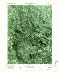 1975 Great Barrington1981 Print · USGSThe Berkshires of the mid-seventies are captured in this aerial survey, revealing the densely wooded terrain and river-valley settlements of western Massachusetts. Researchers can trace the winding Housatonic River through Great Barrington or locate rural landmarks like Lake Buel and Hartsville.
 - 1986 Map of Pittsfield
 1986 Pittsfield1986 Print · USGSThe Berkshires and the Hudson Valley meet in the mid-1980s, documenting a cross-border landscape of mountain forests and river towns. Genealogists and historians can trace the paths of Conrail and the Taconic State Parkway as they pass through Stockbridge, Great Barrington, and Kinderhook.2 unique versions available
 - 1987 Map of Great Barrington, 1988 Print
 1987 Great Barrington1988 Print · USGSThe Berkshires in the late eighties show a sophisticated blend of town life and conservation, centered on the Housatonic River valley. Genealogists and local researchers can pinpoint historical landmarks like the Battlesite Mon, the Simons Rock Early College campus, and local neighborhoods such as Berkshire Heights.
 - 1997 Map of Great Barrington, 1999 Print
 1997 Great Barrington1999 Print · USGSThe Berkshires in the late 1990s show a refined balance of historic village life and extensive mountain conservation. Researchers can trace the Appalachian Trail over East Mtn or locate regional landmarks like Simons Rock Bard College and Lake Buel.
 - 2012 Map of Great Barrington, 2012 Print
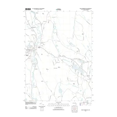 2012 Great Barrington2012 Print · USGSThe Berkshires of western Massachusetts are documented here during the early twenty-first century as the region balanced its industrial roots with tourism. Researchers can find old cemeteries like Corashire, the United States Fish Hatchery, and historic settlements including Hartsville and Van Deusenville.
 - 2015 Map of Great Barrington, 2015 Print
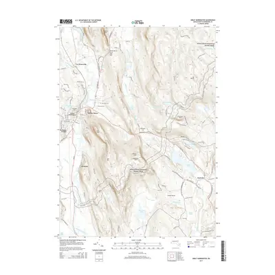 2015 Great Barrington2015 Print · USGSBerkshire County at the start of the twenty-first century shows a landscape where historic valley towns meet preserved mountain trails. Researchers can trace local heritage through Saint Peters Cem, the hamlet of Van Deusenville, and the winding Appalachian National Scenic Trail.
 - 2018 Map of Great Barrington, 2018 Print
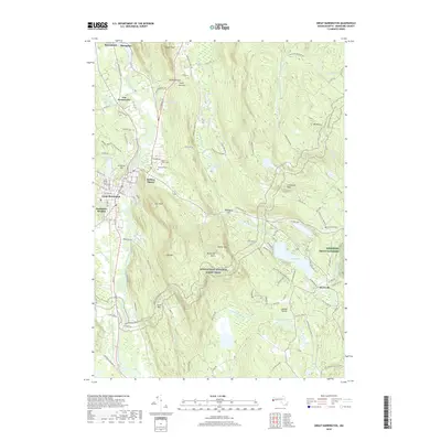 2018 Great Barrington2018 Print · USGSThe Housatonic valley in the modern era maintains its historic character, from the river-side hamlets of Risingdale to the slopes of Butternut Basin. Genealogists and hikers can trace the paths of the Appalachian National Scenic Trail past Saint Peters Cem and Elmwood Cem.
 - 2021 Map of Great Barrington, 2021 Print
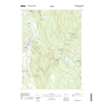 2021 Great Barrington2021 Print · USGSGreat Barrington and the Housatonic River valley are captured here in the early 2020s, showing a blend of historic village centers and protected highlands. Researchers can trace local lineage at Saint Peters Cem or explore the trail network near Lake Buel and Butternut Basin.
Showing maps 1-25 of 27
Top cities near Brookside
- Great Barrington historical maps
- Lee historical maps
- Ghent historical maps
- Lenox historical maps
- Salisbury historical maps
- Chatham historical maps
See more
Frequently asked questions
- What are the different types of historical maps available for Brookside?
- What is the oldest map of Brookside?
- Where can I purchase historical maps of Brookside for my home or office?
- Where can I download high-res historical maps of Brookside?
- Are there historical topographic maps available for Brookside?
- Is there historical aerial imagery available for Brookside?
- Where are historical maps of Brookside sourced from?