2000s (21st Century) Maps of Mansfield, Massachusetts
Explore 20 historic maps of Mansfield from the 2000s (21st Century). These maps offer a rare glimpse into what life looked like during the 2000s — showing old roads, neighborhoods, homes, and landmarks that have changed or disappeared over time.
Whether you're researching your family's past, planning a metal detecting trip, or studying how Mansfield's landscape evolved across the 2000s, these high-resolution maps are a powerful tool for exploring the history of this region.
- Focus on a specific era: All maps on this page are from the 2000s, giving you a focused view of this time period.
- See what’s changed: Compare century-old streets, trails, and buildings to today's modern landscape using overlays and satellite layers.
- Research with precision: Use these maps for genealogy, historical research, land use analysis, or educational projects.
- View, download, or print: Maps are fully viewable online in high resolution, and can be downloaded or printed for your own records.
Start exploring Mansfield's history through authentic maps from the 2000s. This is your window into the past.
Mansfield, MA maps
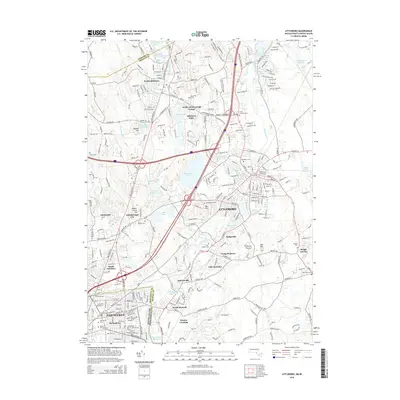
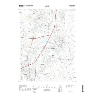
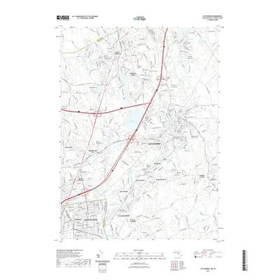
(20)- 2012 Map of Attleboro, 2012 Print
 2012 Attleboro2012 Print · USGSCovers Mansfield, including Pawtucket, Attleboro, and other nearby areas
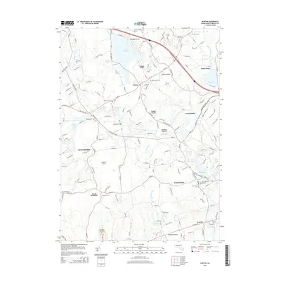
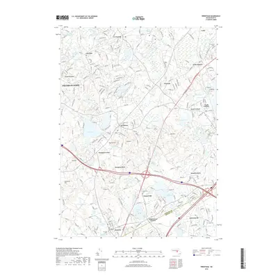
 - 2012 Map of Norton, 2012 Print
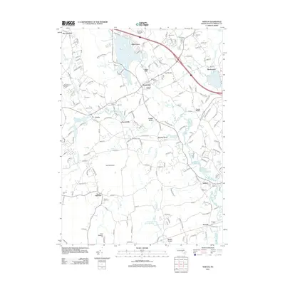 2012 Norton2012 Print · USGSCovers Mansfield, including Taunton, Attleboro, and other nearby areas
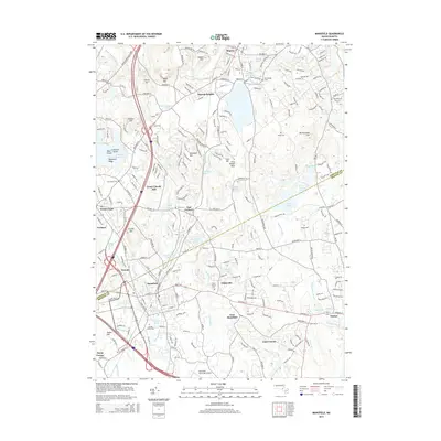
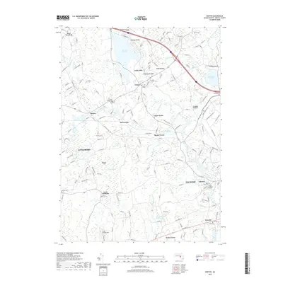
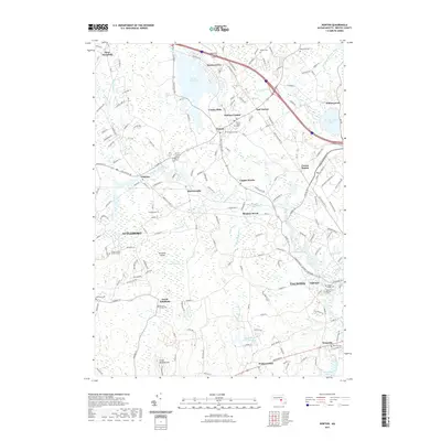
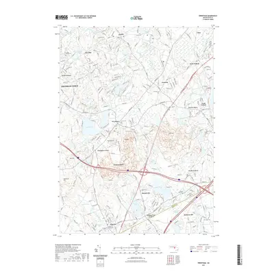
 - 2012 Map of Wrentham, 2012 Print
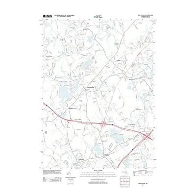 2012 Wrentham2012 Print · USGSCovers Mansfield, including Franklin, North Attleborough, and other nearby areas
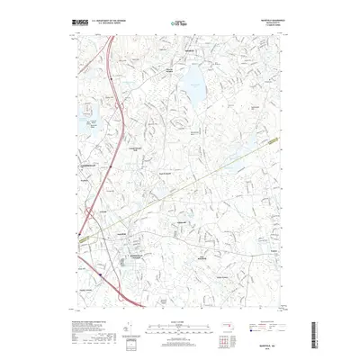
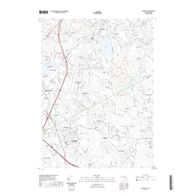
 - 2012 Map of Mansfield, 2012 Print
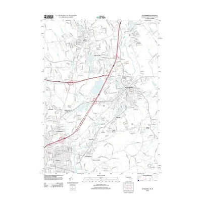
 2012 Mansfield2012 Print · USGSCovers Mansfield, including Stoughton, Walpole, and other nearby areas
 - 2015 Map of Attleboro, 2015 Print
 2015 Attleboro2015 Print · USGSCovers Mansfield, including Pawtucket, Attleboro, and other nearby areas
 - 2015 Map of Norton, 2015 Print
 2015 Norton2015 Print · USGSCovers Mansfield, including Taunton, Attleboro, and other nearby areas
 - 2015 Map of Mansfield, 2015 Print
 2015 Mansfield2015 Print · USGSCovers Mansfield, including Stoughton, Walpole, and other nearby areas
 - 2015 Map of Wrentham, 2015 Print
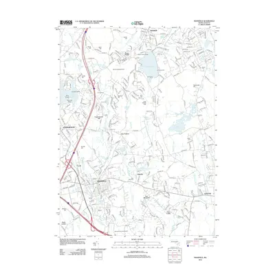
 2015 Wrentham2015 Print · USGSCovers Mansfield, including Franklin, North Attleborough, and other nearby areas
 - 2018 Map of Attleboro, 2018 Print
 2018 Attleboro2018 Print · USGSCovers Mansfield, including Pawtucket, Attleboro, and other nearby areas
 - 2018 Map of Norton, 2018 Print
 2018 Norton2018 Print · USGSCovers Mansfield, including Taunton, Attleboro, and other nearby areas
 - 2018 Map of Mansfield, 2018 Print
 2018 Mansfield2018 Print · USGSCovers Mansfield, including Stoughton, Walpole, and other nearby areas
 - 2018 Map of Wrentham, 2018 Print
 2018 Wrentham2018 Print · USGSCovers Mansfield, including Franklin, North Attleborough, and other nearby areas
 - 2021 Map of Attleboro, 2021 Print
 2021 Attleboro2021 Print · USGSCovers Mansfield, including Pawtucket, Attleboro, and other nearby areas
 - 2021 Map of Norton, 2021 Print
 2021 Norton2021 Print · USGSCovers Mansfield, including Taunton, Attleboro, and other nearby areas
 - 2021 Map of Wrentham, 2021 Print
 2021 Wrentham2021 Print · USGSCovers Mansfield, including Franklin, North Attleborough, and other nearby areas
 - 2021 Map of Mansfield, 2021 Print
 2021 Mansfield2021 Print · USGSCovers Mansfield, including Stoughton, Walpole, and other nearby areas
 - 2024 Map of Norton, 2024 Print
 2024 Norton2024 Print · USGSBristol County's inland landscape appears in high detail in this recent survey, showcasing the evolution of settlements around Norton and Barrowsville. Genealogists can trace numerous family plots including the Eneas Round-Yard Cem and Walker Burial Ground.
 - 2024 Map of Attleboro, 2024 Print
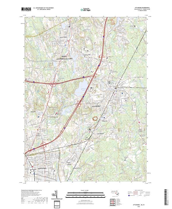 2024 Attleboro2024 Print · USGSBristol County at the dawn of the 2020s shows a landscape of deep-rooted settlements and modern infrastructure. Genealogists can trace family legacies at the Mann Family Burial Ground or the Briggsville Burial Ground.
 - 2024 Map of Mansfield, 2024 Print
 2024 Mansfield2024 Print · USGSContemporary Mansfield and Sharon maintain a landscape dense with colonial-era burial grounds and industrial waterworks. Genealogists can trace deep local roots at the Fisher Richardson Burial Ground or the Old Bay Road Cem while following the path of the Old Colony Rail Trl.
 - 2024 Map of Wrentham, 2024 Print
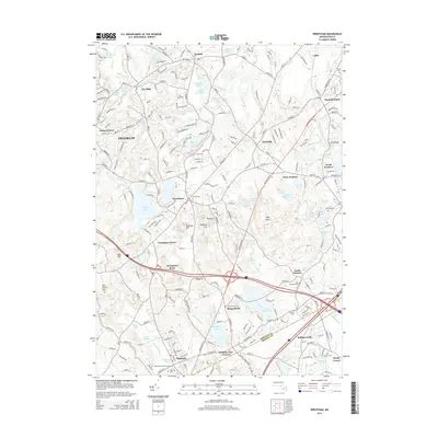
 2024 Wrentham2024 Print · USGSSoutheastern Massachusetts at the dawn of the twenty-first century reveals a landscape of historic mill villages and extensive water networks. Genealogists can locate numerous burial grounds like Wrentham Center Cem and the Quaker Cem near the Wading River.
End of results
Showing maps 1-20 of 20
Top cities near Mansfield
- Boston historical maps
- Providence historical maps
- Brockton historical maps
- Quincy historical maps
- Cranston historical maps
- Pawtucket historical maps
See more
Top neighborhoods of Mansfield
- East Mansfield historical maps
- Ginty Corner historical maps
- Purdy Corner historical maps
- West Mansfield historical maps
- Robinsonville historical maps
- Whiteville historical maps
Frequently asked questions
- What are the different types of historical maps available for Mansfield?
- What is the oldest map of Mansfield?
- Where can I purchase historical maps of Mansfield for my home or office?
- Where can I download high-res historical maps of Mansfield?
- Are there historical topographic maps available for Mansfield?
- Is there historical aerial imagery available for Mansfield?
- Where are historical maps of Mansfield sourced from?