Old Maps of Westport, Massachusetts for Academic Research
Study the evolution of Westport with 57 high-resolution historic maps. Whether you're teaching, researching, or modeling changes in land use, these maps provide essential visual documentation of urban, environmental, and geographic change.
- Analyze long-term change: Track patterns in development, transportation, and natural features.
- Ideal for environmental or urban studies: Support academic projects with primary historical map data.
- Use in the classroom or lab: Educators and researchers rely on these maps to bring historical context to life.
These maps are a powerful tool for teaching, research, and visualizing how Westport has changed over the decades.
Westport, MA maps
(57)- 1885 Map of Sakonnet
 1885 Sakonnet1885 Print · USGSThe Rhode Island coast south of Little Compton and Middletown is captured here in the late nineteenth century, showing a shoreline defined by points and coastal ponds. Researchers can trace landforms and landmarks like Sakonnet Point, Woods Castle, and Sachuest Neck.
 - 1888 Map of Fall River
 1888 Fall River1888 Print · USGSCoastal Massachusetts and Rhode Island are captured here in the late nineteenth century as industry and agriculture thrived side-by-side. Genealogists and researchers can trace the early rail networks of the Old Colony Railroad or locate family homesteads near Tiverton Four Corners and Little Compton.
 - 1888 Map of Sakonnet
 1888 Sakonnet1888 Print · USGSCoastal Rhode Island in the 1880s was defined by its weather-beaten points and maritime outposts. Genealogists and historians can trace the early topography of Little Compton and Middletown, from Sakonnet Point to Woods Castle.
 - 1893 Map of Sakonnet
 1893 Sakonnet1893 Print · USGSThe Rhode Island coast in the late nineteenth century is documented here as a maritime landscape of rocky points and tidal ponds. Researchers can trace the early harbor works at Sakonnet Point or locate family landmarks like Woods Castle and Warren Point.6 unique versions available
 - 1893 Map of Fall River
 1893 Fall River1893 Print · USGSCoastal Massachusetts and Rhode Island are captured here in the late nineteenth century as the textile industry and railroads reshaped the waterfront. Genealogists and local historians can trace early family holdings and hubs like Globe Village, Tiverton Four Corners, and the old Bordens Wharf.9 unique versions available
 - 1919 Map of Fall River
 1919 Fall River1919 Print · USGSThe coastal borderlands of Massachusetts and Rhode Island are captured here just after the Great War, showing the transition from industrial Fall River to rural seaside hamlets. Genealogists can locate family landmarks in Little Compton The Commons, trace the Old Colony Railroad, or explore old landings at Westport Point.
 - 1942 Map of Newport
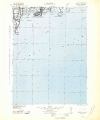 1942 Newport1942 Print · USGSThe Rhode Island coast appears here at a critical wartime moment, showing the heavy fortification of Narragansett Bay. Researchers can trace military sites like Fort Kearny, maritime landmarks like the Point Judith Life Saving Station, and old ferry routes.2 unique versions available
 - 1942 Map of Westport
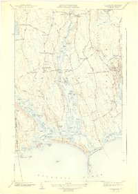 1942 Westport1942 Print · USGSThe Westport and Dartmouth coastlines appear in the early 1940s as a landscape of tidal rivers and rural crossroads. Trace the legacy of family settlements and local landmarks like Westport Point, Beech Grove Cem, and the National Guard Rifle Range.3 unique versions available
 - 1942 Map of Tiverton
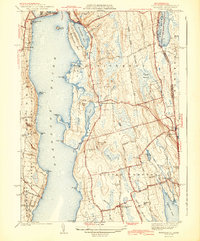 1942 Tiverton1942 Print · USGSNewport County in the early 1940s reflects a coastal farming and fishing era before post-war suburbanization. Trace ancestral connections in Little Compton Commons or locate historic mill sites at Grays Mill Pond and Adamsville.4 unique versions available
 - 1943 Map of Providence
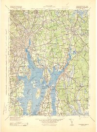 1943 Providence1943 Print · USGSNarragansett Bay and the industrial Blackstone Valley appear here in the midst of the Second World War. Genealogists and researchers can trace local landmarks like Lonsdale Station, the St Marys Reservoir, and the Rhode Island State Airport.
 - 1944 Map of Fall River East
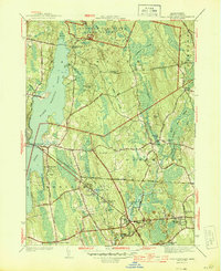 1944 Fall River East1944 Print · USGSBristol County during the mid-forties shows a landscape of growing townships and preserved woodlands before the modern suburban boom. Researchers can trace ancestral property near Fighting Rock Corner, Westport Mills, and the Evergreen Cem.2 unique versions available
 - 1944 Map of Fall River
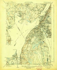 1944 Fall River1944 Print · USGSThe industrial waterfront and coastal peninsulas of the Massachusetts-Rhode Island border come alive in the mid-1940s. Genealogists and historians can trace the dense urban parish life at St Marys Cem & Ch or locate family sites near Cook Pond and Luther Corner.4 unique versions available
 - 1947 Map of Providence, 1948 Print
 1947 Providence1948 Print · USGSSouthern New England is captured in the mid-1940s, showing a landscape defined by busy industrial ports and expanding military installations. Researchers can trace the rail lines of the N.Y. N.H. & H. RR or locate coastal defenses like Fort Adams and Quonset Point.5 unique versions available
 - 1948 Map of Providence, 1951 Print
 1948 Providence1951 Print · USGSSouthern New England’s coastal reaches are captured here in the late 1940s, from the industrial heart of Providence to the tip of Provincetown. Genealogists and historians can trace rail lines like the Central Vermont Railway and locate active military sites such as Otis Air Force Base and Fort Rodman.
 - 1949 Map of Fall River, 1957 Print
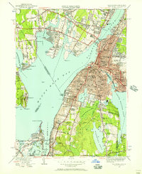 1949 Fall River1957 Print · USGSFall River and the surrounding Narragansett Bay area are captured here at the end of the 1940s. Genealogists can trace family names and institutions across Globe Village, St Patricks Cem, and the numerous schools of Tiverton.2 unique versions available
 - 1949 Map of Tiverton, 1957 Print
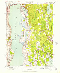 1949 Tiverton1957 Print · USGSCoastal Newport County at the end of the 1940s remains a quiet landscape of salt ponds and colonial-era crossroads. Trace family roots and old property lines through historic hubs like Little Compton Commons, Adamsville, and Old Stone Ch.4 unique versions available
 - 1951 Map of Westport
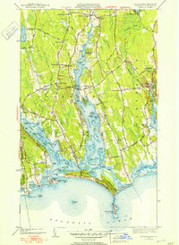 1951 Westport1951 Print · USGSThe Westport area in the early fifties reveals a classic New England coastal economy centered on the forks of the river and the barrier sounds. Genealogists can trace family homesteads at Slades Corner and Russells Mills or find ancestors at Beech Grove Cem.3 unique versions available
 - 1951 Map of Fall River East
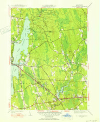 1951 Fall River East1951 Print · USGSBristol County in the early fifties showcases a transition from dense state forest to the industrial corridors of the South Coast. Local historians can trace the footprint of Westport Factory, visit Lincoln Park, or locate the Collins Sch near the Freetown border.3 unique versions available
 - 1957 Map of Providence
 1957 Providence1957 Print · USGSCoastal New England at the height of the mid-century era shows a landscape shaped by maritime industry and Cold War defense. Genealogists and historians can trace the reach of the New York, New Haven & Hartford RR and locate legacy sites like Fort Adams and Quonset Point Naval Air Station.
 - 1958 Map of Providence
 1958 Providence1958 Print · USGSThe Rhode Island and Massachusetts coastlines are shown in detail during the late 1950s, from the urban cores to the tips of the islands. Researchers can trace the mid-century footprint of Quonset Point Naval Air Station, the defense works at Fort Adams, and the rail network of the New York, New Haven and Hartford RR.
 - 1963 Map of Providence
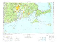 1963 Providence1963 Print · USGSSouthern New England's coastal and industrial heartland is captured here in the early sixties, from the Rhode Island mainland to the far reaches of the Cape. Researchers can trace mid-century growth in Providence or locate landmarks on Marthas Vineyard and Nantucket Island.
 - 1963 Map of Fall River East, 1965 Print
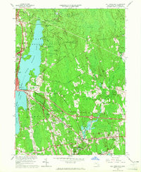 1963 Fall River East1965 Print · USGSCoastal Massachusetts at the start of the 1960s reveals a landscape of industrial borders and dense forests. Researchers can trace family sites near Hixville, Westport Factory, and Beulah Corners, or locate landmarks like St Patricks Cem.
 - 1963 Map of Westport, 1965 Print
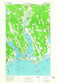 1963 Westport1965 Print · USGSThe Westport and Dartmouth coastlines come alive in the early sixties, showing a landscape of tidal flats and colonial crossroads. Genealogists and historians can trace family-named landmarks like Kirby Corner and Snell Corner, or locate the New Bedford City Rifle Range.3 unique versions available
 - 1967 Map of Fall River, 1970 Print
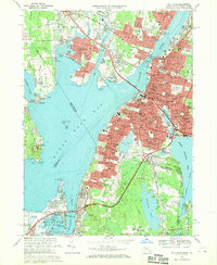 1967 Fall River1970 Print · USGSFall River and the surrounding Narragansett Bay communities are captured here in the late sixties during a period of significant suburban and highway growth. Researchers can trace family roots through the dense city blocks of Globe Village or locate ancestral sites at Oak Grove Cemetery and North Burial Ground.5 unique versions available
 - 1977 Map of Westport, 1979 Print
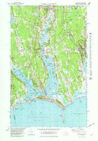 1977 Westport1979 Print · USGSThe coastal stretches of Westport and Dartmouth appear here in the mid-seventies, showing a landscape of salt marshes, barrier beaches, and river estuaries. Genealogists and researchers can trace lineage through old village centers like Westport Point and the Friends Meeting House, or find family-named crossroads such as Gidleys Corner.5 unique versions available
Showing maps 1-25 of 57
Top cities near Westport
- New Bedford historical maps
- Fall River historical maps
- Dartmouth historical maps
- Bristol historical maps
- Newport historical maps
- Somerset historical maps
See more
Top neighborhoods of Westport
- Camp Noquochoke historical maps
- Central Village historical maps
- Giffords Corner historical maps
- Handy Four Corners historical maps
- Kirby Corner historical maps
- Macombers Corner historical maps
See more
Frequently asked questions
- What are the different types of historical maps available for Westport?
- What is the oldest map of Westport?
- Where can I purchase historical maps of Westport for my home or office?
- Where can I download high-res historical maps of Westport?
- Are there historical topographic maps available for Westport?
- Is there historical aerial imagery available for Westport?
- Where are historical maps of Westport sourced from?