2000s (21st Century) Maps of Tisbury, Massachusetts
Explore 16 historic maps of Tisbury from the 2000s (21st Century). These maps offer a rare glimpse into what life looked like during the 2000s — showing old roads, neighborhoods, homes, and landmarks that have changed or disappeared over time.
Whether you're researching your family's past, planning a metal detecting trip, or studying how Tisbury's landscape evolved across the 2000s, these high-resolution maps are a powerful tool for exploring the history of this region.
- Focus on a specific era: All maps on this page are from the 2000s, giving you a focused view of this time period.
- See what’s changed: Compare century-old streets, trails, and buildings to today's modern landscape using overlays and satellite layers.
- Research with precision: Use these maps for genealogy, historical research, land use analysis, or educational projects.
- View, download, or print: Maps are fully viewable online in high resolution, and can be downloaded or printed for your own records.
Start exploring Tisbury's history through authentic maps from the 2000s. This is your window into the past.
Tisbury, MA maps
(16)- 2012 Map of Vineyard Haven, 2012 Print
 2012 Vineyard Haven2012 Print · USGSCovers Tisbury, including Falmouth, West Tisbury, and other nearby areas
 - 2012 Map of Edgartown, 2012 Print
 2012 Edgartown2012 Print · USGSCovers Tisbury, including Falmouth, Mashpee, and other nearby areas
 - 2012 Map of Falmouth, 2012 Print
 2012 Falmouth2012 Print · USGSCovers Tisbury, including Falmouth, Mashpee, and other nearby areas
 - 2015 Map of Vineyard Haven, 2015 Print
 2015 Vineyard Haven2015 Print · USGSCovers Tisbury, including Falmouth, West Tisbury, and other nearby areas
 - 2015 Map of Edgartown, 2015 Print
 2015 Edgartown2015 Print · USGSCovers Tisbury, including Falmouth, Mashpee, and other nearby areas
 - 2015 Map of Falmouth, 2015 Print
 2015 Falmouth2015 Print · USGSCovers Tisbury, including Falmouth, Mashpee, and other nearby areas
 - 2018 Map of Edgartown, 2018 Print
 2018 Edgartown2018 Print · USGSCovers Tisbury, including Falmouth, Mashpee, and other nearby areas
 - 2018 Map of Vineyard Haven, 2018 Print
 2018 Vineyard Haven2018 Print · USGSCovers Tisbury, including Falmouth, West Tisbury, and other nearby areas
 - 2018 Map of Falmouth, 2018 Print
 2018 Falmouth2018 Print · USGSCovers Tisbury, including Falmouth, Mashpee, and other nearby areas
 - 2021 Map of Vineyard Haven, 2021 Print
 2021 Vineyard Haven2021 Print · USGSCovers Tisbury, including Falmouth, West Tisbury, and other nearby areas
 - 2021 Map of Edgartown, 2021 Print
 2021 Edgartown2021 Print · USGSCovers Tisbury, including Falmouth, Mashpee, and other nearby areas
 - 2021 Map of Falmouth, 2021 Print
 2021 Falmouth2021 Print · USGSCovers Tisbury, including Falmouth, Mashpee, and other nearby areas
 - 2023 Map of Edgartown, 2023 Print
 2023 Edgartown2023 Print · USGSCovers Tisbury, including Falmouth, Mashpee, and other nearby areas
 - 2024 Map of Falmouth, 2024 Print
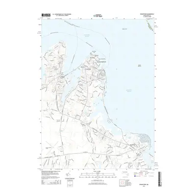
 2024 Falmouth2024 Print · USGSCape Cod's southern shore is captured here in the early twenty-first century, showing the dense network of coastal ponds and historic village centers. Genealogists can trace family names through the Falmouth Old Burying Ground and Oak Grove Cem or explore the protected lands of the Mashpee National Wildlife Refuge.
 - 2024 Map of Edgartown, 2024 Print
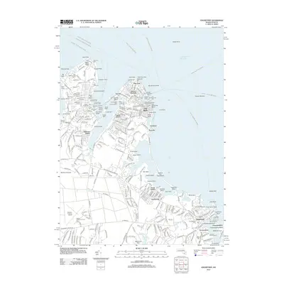
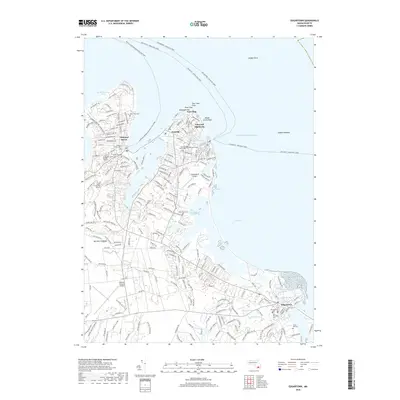
 2024 Edgartown2024 Print · USGSMartha's Vineyard's eastern shores are captured here in the late twenty-teens, from the ferries of Vineyard Haven to the lanes of Edgartown. Genealogists can trace family plots at Sailors Burying Ground or Hebrew Cem, while aviation buffs will find both Trade Wind Airport and the larger island airfield.
 - 2024 Map of Vineyard Haven, 2024 Print
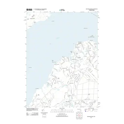
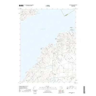
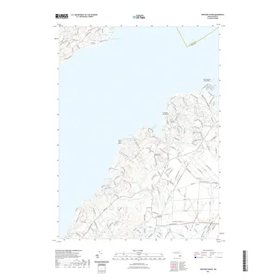
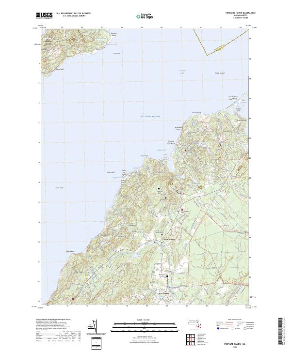 2024 Vineyard Haven2024 Print · USGSMartha's Vineyard and the Elizabeth Islands are captured in this recent survey of the Vineyard Sound region. Genealogists and historians can trace family burial sites like Lamberts Cove Cem and old mill sites near West Tisbury.
End of results
Showing maps 1-16 of 16
Top cities near Tisbury
- Falmouth historical maps
- Sandwich historical maps
- Bourne historical maps
- Fairhaven historical maps
- Mashpee historical maps
- Mattapoisett historical maps
See more
Top neighborhoods of Tisbury
- Oklahoma Heights historical maps
- Vineyard Haven historical maps
- West Chop historical maps
- William Street Historic District historical maps
Frequently asked questions
- What are the different types of historical maps available for Tisbury?
- What is the oldest map of Tisbury?
- Where can I purchase historical maps of Tisbury for my home or office?
- Where can I download high-res historical maps of Tisbury?
- Are there historical topographic maps available for Tisbury?
- Is there historical aerial imagery available for Tisbury?
- Where are historical maps of Tisbury sourced from?