1980s Maps of Lynn, Massachusetts
Explore 10 historic maps of Lynn from the 1980s. These maps offer a rare glimpse into what life looked like during the 1980s — showing old roads, neighborhoods, homes, and landmarks that have changed or disappeared over time.
Whether you're researching your family's past, planning a metal detecting trip, or studying how Lynn's landscape evolved across the 1980s, these high-resolution maps are a powerful tool for exploring the history of this region.
- Focus on a specific era: All maps on this page are from the 1980s, giving you a focused view of this time period.
- See what’s changed: Compare century-old streets, trails, and buildings to today's modern landscape using overlays and satellite layers.
- Research with precision: Use these maps for genealogy, historical research, land use analysis, or educational projects.
- View, download, or print: Maps are fully viewable online in high resolution, and can be downloaded or printed for your own records.
Start exploring Lynn's history through authentic maps from the 1980s. This is your window into the past.
Lynn, MA maps
(10)- 1984 Map of Lowell
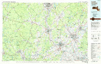 1984 Lowell1984 Print · USGSThe Merrimack Valley industrial corridor is captured here in the mid-eighties, showing the interconnected growth of Lowell, Nashua, and Lawrence. Genealogists and historians can trace the paths of the Boston and Maine railroad or locate institutional landmarks like Merrimack College and the Fort Devens Military Reservation.
 - 1984 Map of Gloucester
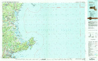 1984 Gloucester1984 Print · USGSCoastal Massachusetts and the New Hampshire borderlands are shown here in the mid-eighties, from the granite shores of Cape Ann to the Merrimack River. Researchers can trace the legacy of maritime trade and higher education at Salem State College or follow the Boston and Maine rail lines through Ipswich and Beverly.
 - 1984 Map of Provincetown, 1986 Print
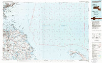 1984 Provincetown1986 Print · USGSThe Massachusetts coastline and the tip of Cape Cod appear here during the mid-eighties, highlighting the region's dense coastal settlements and maritime defenses. You can locate family landmarks in Marshfield, trace the grounds of the North Truro Air Force Station, and explore the islands of Boston Harbor like Peddocks Island.2 unique versions available
 - 1985 Map of Lynn
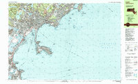 1985 Lynn1985 Print · USGSThe Massachusetts North Shore comes into focus during the mid-eighties, detailing the dense urban fabric and rocky coastlines from Lynn to Marblehead. Researchers can trace neighborhood development near Pine Grove Cem, locate the old Coast Guard Station at Nahant, and follow the B & M rail corridor.2 unique versions available
 - 1985 Map of Salem, 1986 Print
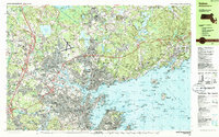 1985 Salem1986 Print · USGSThe North Shore coastline in the mid-eighties shows the established urban centers of Salem and Beverly alongside the expanding suburbs of Danvers. Genealogists can locate family sites near Harmony Grove Cemetery or trace landmarks like the Danvers State Hospital and Fort Sewall.3 unique versions available
 - 1985 Map of Boston, 1986 Print
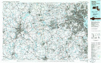 1985 Boston1986 Print · USGSThe Massachusetts urban core and its expanding suburbs are captured in the mid-eighties, showing the reach of the Mass Turnpike and Route 128. Genealogists and historians can trace the evolution of towns from Lexington to Waltham, locating landmarks like Harvard University and Minute Man National Historical Park.
 - 1985 Map of Boston North, 1986 Print
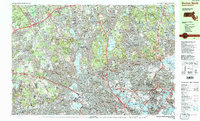 1985 Boston North1986 Print · USGSGreater Boston's northern tier is captured during the mid-eighties, showing the dense intersection of historic college campuses and industrial rail corridors. Genealogists and historians can trace suburban development around Holy Cross Cemetery and the academic grounds of Harvard University or Tufts University.3 unique versions available
 - 1987 Map of Reading
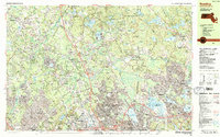 1987 Reading1987 Print · USGSReading and the surrounding North Shore suburbs are shown in the late 1980s as major highway networks and residential developments reached their modern form. Genealogists can trace old cemetery sites like the Old Fuller Burying Ground or explore landmarks like Lake Quannapowitt and the State Hospital.2 unique versions available
 - 1988 Map of Lowell
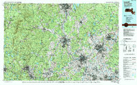 1988 Lowell1988 Print · USGSThe industrial corridor of the Merrimack Valley is captured in the late eighties as it transitioned into a modern technological and residential hub. Genealogists and researchers can trace the urban layouts of Lowell and Nashua alongside landmarks like Massabesic Lake and Miller State Park.2 unique versions available
 - 1989 Map of Boston
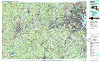 1989 Boston1989 Print · USGSGreater Boston and the central Massachusetts corridor appear here in the late eighties as suburban growth reshaped the region. Genealogists and historians can trace the transit networks between Boston, Worcester, and Quincy, while locating landmarks like Bunker Hill Monument and Wachusett Reservoir.2 unique versions available
End of results
Showing maps 1-10 of 10
Top cities near Lynn
- Boston historical maps
- Cambridge historical maps
- Quincy historical maps
- Lawrence historical maps
- Somerville historical maps
- Brookline historical maps
See more
Top neighborhoods of Lynn
- East Lynn historical maps
- West Lynn historical maps
- Wyoma historical maps
- Raddin Station historical maps
- Central Square historical maps
- Freeman Square historical maps
See more
Frequently asked questions
- What are the different types of historical maps available for Lynn?
- What is the oldest map of Lynn?
- Where can I purchase historical maps of Lynn for my home or office?
- Where can I download high-res historical maps of Lynn?
- Are there historical topographic maps available for Lynn?
- Is there historical aerial imagery available for Lynn?
- Where are historical maps of Lynn sourced from?