2000s (21st Century) Maps of Merrimac, Massachusetts
Explore 11 historic maps of Merrimac from the 2000s (21st Century). These maps offer a rare glimpse into what life looked like during the 2000s — showing old roads, neighborhoods, homes, and landmarks that have changed or disappeared over time.
Whether you're researching your family's past, planning a metal detecting trip, or studying how Merrimac's landscape evolved across the 2000s, these high-resolution maps are a powerful tool for exploring the history of this region.
- Focus on a specific era: All maps on this page are from the 2000s, giving you a focused view of this time period.
- See what’s changed: Compare century-old streets, trails, and buildings to today's modern landscape using overlays and satellite layers.
- Research with precision: Use these maps for genealogy, historical research, land use analysis, or educational projects.
- View, download, or print: Maps are fully viewable online in high resolution, and can be downloaded or printed for your own records.
Start exploring Merrimac's history through authentic maps from the 2000s. This is your window into the past.
Merrimac, MA maps
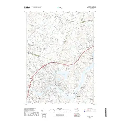
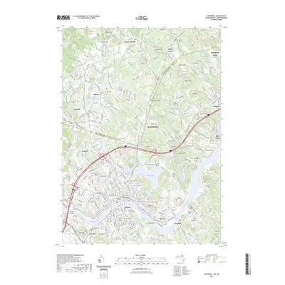
(11)- 2012 Map of Haverhill, 2012 Print
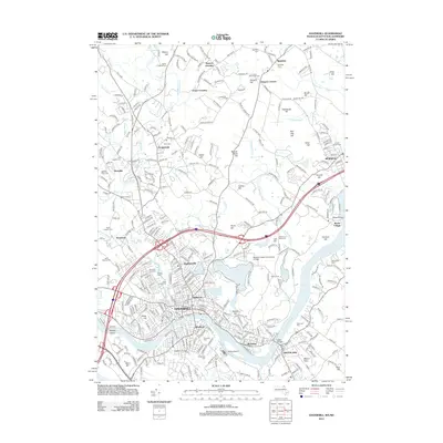 2012 Haverhill2012 Print · USGSCovers Merrimac, including Haverhill, Methuen, and other nearby areas
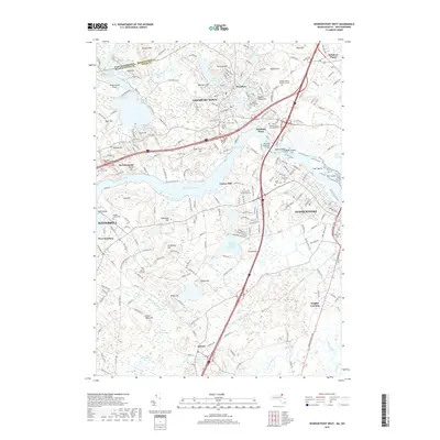
 - 2012 Map of Newburyport West, 2012 Print
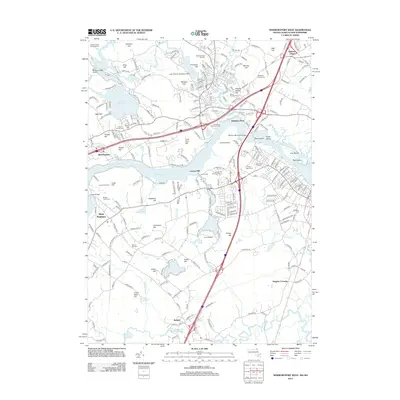 2012 Newburyport West2012 Print · USGSCovers Merrimac, including Haverhill, Newburyport, and other nearby areas
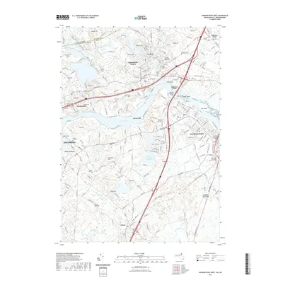
 - 2015 Map of Newburyport West, 2015 Print
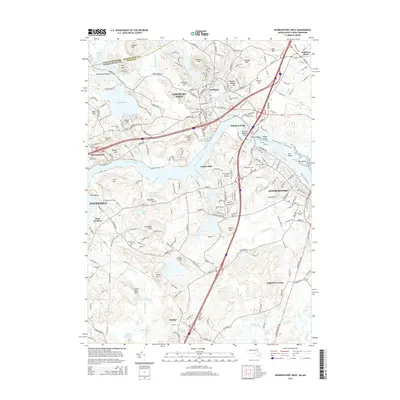 2015 Newburyport West2015 Print · USGSCovers Merrimac, including Haverhill, Newburyport, and other nearby areas
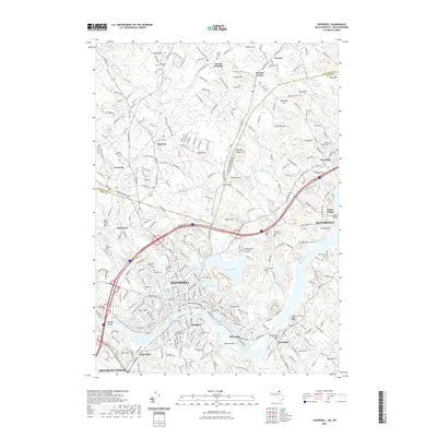
 - 2015 Map of Haverhill, 2015 Print
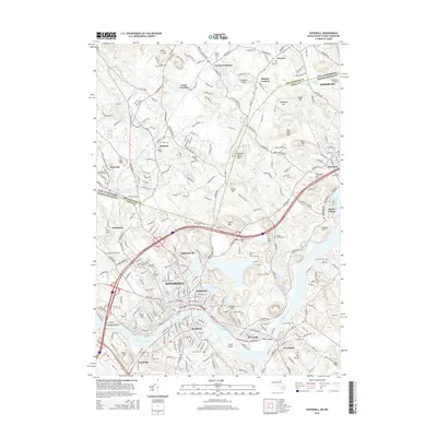 2015 Haverhill2015 Print · USGSCovers Merrimac, including Haverhill, Methuen, and other nearby areas
 - 2018 Map of Haverhill, 2018 Print
 2018 Haverhill2018 Print · USGSCovers Merrimac, including Haverhill, Methuen, and other nearby areas
 - 2018 Map of Newburyport West, 2018 Print
 2018 Newburyport West2018 Print · USGSCovers Merrimac, including Haverhill, Newburyport, and other nearby areas
 - 2021 Map of Newburyport West, 2021 Print
 2021 Newburyport West2021 Print · USGSCovers Merrimac, including Haverhill, Newburyport, and other nearby areas
 - 2021 Map of Haverhill, 2021 Print
 2021 Haverhill2021 Print · USGSCovers Merrimac, including Haverhill, Methuen, and other nearby areas
 - 2023 Map of Haverhill, 2023 Print
 2023 Haverhill2023 Print · USGSCovers Merrimac, including Haverhill, Methuen, and other nearby areas
 - 2024 Map of Newburyport West, 2024 Print
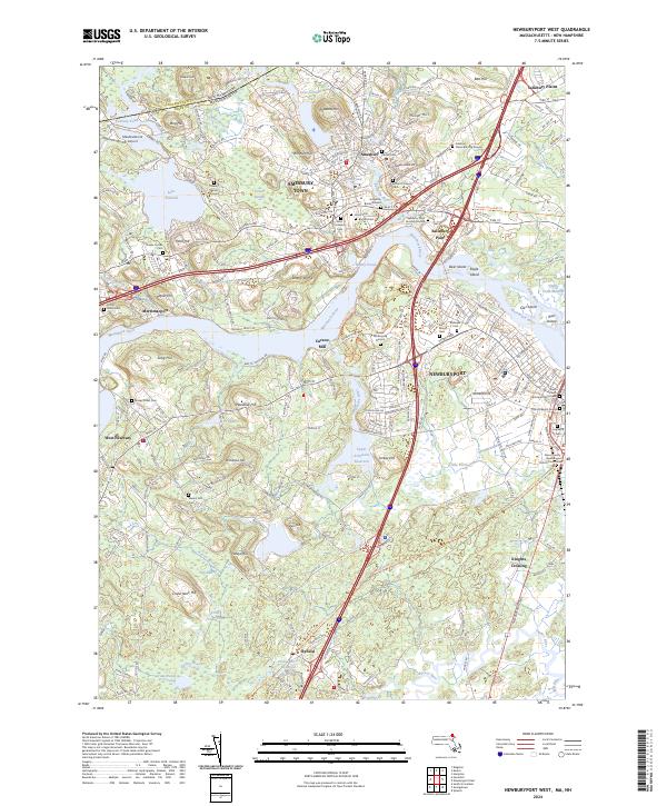 2024 Newburyport West2024 Print · USGSThe Lower Merrimack Valley at the dawn of the 2020s shows a landscape where colonial-era sites like the Golgotha Burial Ground meet modern preservation. Genealogists can trace family names across Saint Marys Cem, Knights Crossing, and the historic Curzon Mill.
 - 2024 Map of Haverhill, 2024 Print
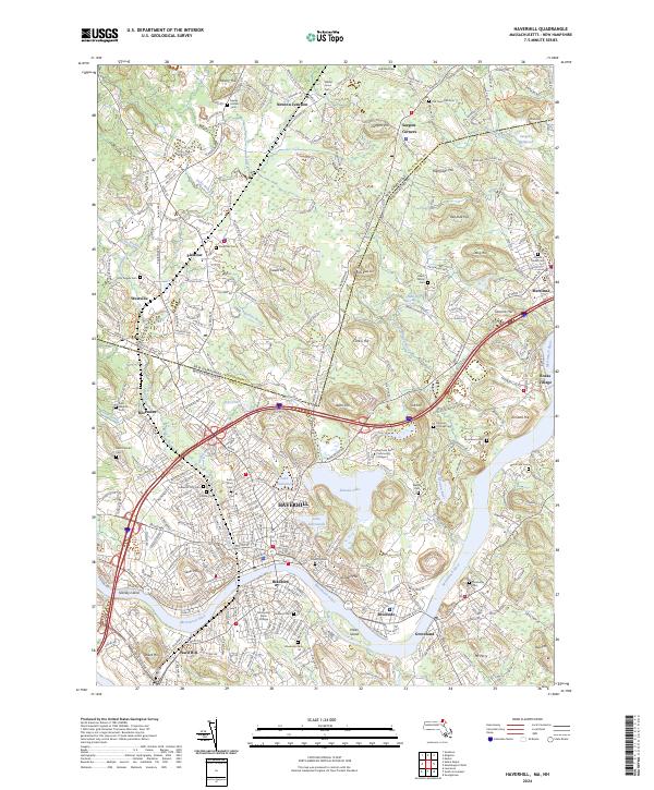 2024 Haverhill2024 Print · USGSSettled along the Merrimack River, this area shows the historic border between Massachusetts and New Hampshire. Genealogists can trace family sites at Linwood Cem or explore the rail-linked hamlets of Plaistow and Newton Junction.
End of results
Showing maps 1-11 of 11
Top cities near Merrimac
- Lawrence historical maps
- Haverhill historical maps
- Methuen historical maps
- Billerica historical maps
- Derry historical maps
- Andover historical maps
See more
Top neighborhoods of Merrimac
- North Shore Community historical maps
- Merrimacport historical maps
- Birchmeadow Estates historical maps
Frequently asked questions
- What are the different types of historical maps available for Merrimac?
- What is the oldest map of Merrimac?
- Where can I purchase historical maps of Merrimac for my home or office?
- Where can I download high-res historical maps of Merrimac?
- Are there historical topographic maps available for Merrimac?
- Is there historical aerial imagery available for Merrimac?
- Where are historical maps of Merrimac sourced from?