Old Maps of Deerfield, Massachusetts for Genealogy
Trace your family roots with 63 historic maps of Deerfield. These high-res maps reveal old neighborhoods, homesites, landmarks, and streets — helping you uncover where your ancestors lived and how the area evolved over time.
- Explore historic neighborhoods: Identify where your relatives may have lived in the 1800s or 1900s.
- Compare maps over time: Trace the changes in streets, buildings, and landmarks for multi-generational research.
- Perfect for genealogy & ancestry research: Used by family historians and researchers to map out lineage and migration.
These maps are an incredible resource for exploring your personal connection to Deerfield's past.
Deerfield, MA maps
(63)- 1885 Map of Northampton
 1885 Northampton1885 Print · USGSThe Pioneer Valley in the late 1800s was a hub of academic and industrial energy centered on the Connecticut River. Genealogists can trace family roots through hamlets like Hockanum and Loudville or locate early campus sites like the Agricultural College.
 - 1886 Map of Northampton
 1886 Northampton1886 Print · USGSThe Pioneer Valley in the mid-1880s is captured here at a peak of rail expansion and educational growth. Researchers can trace the early footprints of the Agricultural College, the industrial works at Haydenville, and the landmark Insane Asylum.
 - 1890 Map of Greenfield
 1890 Greenfield1890 Print · USGSFranklin County's industrial and rail corridors are captured in the late nineteenth century as the river valleys pulsed with water-powered manufacturing. Genealogists and historians can trace the foundations of Turners Falls, the layout of Lake Pleasant Camp Ground, and the rail connections at Conway Depot.
 - 1891 Map of Northampton
 1891 Northampton1891 Print · USGSThe Pioneer Valley in the early nineties shows a landscape of river-driven industry and rising academic centers. Genealogists can trace family roots through old settlements like Bay State Village and Hockanum, or locate early campus sites at the Agricultural College.
 - 1893 Map of Northampton
 1893 Northampton1893 Print · USGSHampshire County in the late nineteenth century is a landscape of thriving mill towns and emerging college campuses. Trace the industrial operations at Factory Hollow or locate old crossings like the Smith Ferry and the Ferry at Hatfield.
 - 1894 Map of Greenfield
 1894 Greenfield1894 Print · USGSFranklin County's industrial river valleys are captured here in the late 19th century as rail lines and water power drove local growth. Genealogists and historians can trace the foundations of Turner Falls, the transit hub at Cheapside, and the historic village of Deerfield.10 unique versions available
 - 1895 Map of Northampton
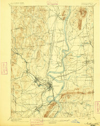 1895 Northampton1895 Print · USGSThe Pioneer Valley is captured here in the late nineteenth century, showing a landscape of burgeoning industrial villages and prestigious colleges. Researchers can trace the early rail networks like the Williamsburg Br. or locate historic sites like the Insane Asylum and Hockanum.10 unique versions available
 - 1896 Map of Holyoke
 1896 Holyoke1896 Print · USGSThe Pioneer Valley and the eastern Berkshire foothills thrive in the 1890s as a complex network of industrial towns and upland farming communities. Historians can trace early infrastructure through the Bisbee Mill, the Agricultural College, and the prominent Ox Bow on the Connecticut River.
 - 1897 Map of Holyoke
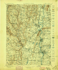 1897 Holyoke1897 Print · USGSThe Pioneer Valley and surrounding highlands thrive in the 1890s, caught here at the height of the region's industrial and agricultural development. Genealogists and historians can trace family roots through dozens of hill towns and river settlements, from Agricultural College in Amherst to the mills of Holyoke and the remote tracks of the Athol Br. R. R..
 - 1901 Map of Holyoke
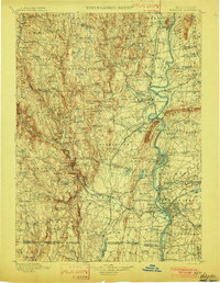 1901 Holyoke1901 Print · USGSThe Pioneer Valley and surrounding highlands thrive at the turn of the century, showing a landscape defined by mill towns and early rail networks. Genealogists and historians can trace old homesteads and local landmarks like Bisbee Mill, South Ferry, and the Agricultural College.4 unique versions available
 - 1935 Map of Williamsburg
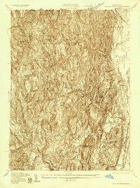 1935 Williamsburg1935 Print · USGSThe hills of Western Massachusetts are captured here in the mid-1930s as the rail and river economy of the Pioneer Valley persisted. Researchers can trace historic schoolhouses like Poland Sch, the rail terminus at Williamsburg Station, and several family-named landmarks including Joe Herrick Hill.
 - 1935 Map of Mount Toby
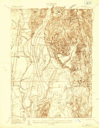 1935 Mount Toby1935 Print · USGSThe Connecticut River Valley comes alive in the mid-1930s, showing the intersection of rail-and-river life. Genealogists can locate family sites near North Sunderland Cemetery, East Whately Station, and the early Massachusetts State College campus.
 - 1936 Map of Greenfield
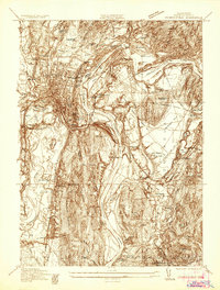 1936 Greenfield1936 Print · USGSFranklin County is captured in the mid-1930s as a thriving rail and river hub at the heart of the Pioneer Valley. Genealogists and local historians can trace family roots through the streets of Greenfield, locate the Swedish Cem, or find the C C C Camp No 1226.
 - 1937 Map of Shelburne Falls
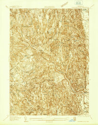 1937 Shelburne Falls1937 Print · USGSFranklin County's river valleys and ridgelines are captured here in the late thirties as the Mohawk Trail and the Boston and Maine Railroad shaped local commerce. Researchers can trace family sites like the Skinner Cem or locate the old Roberts Sch and Union Ch.
 - 1941 Map of Shelburne Falls
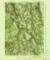 1941 Shelburne Falls1941 Print · USGSFranklin County's hill towns and river valleys are captured here during the early 1940s, showing the intersection of industry and rural life. Trace the path of the Mohawk Trail and find local landmarks such as Arms Cem, Union Ch, and the settlement of Burkville.3 unique versions available
 - 1941 Map of Greenfield
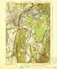 1941 Greenfield1941 Print · USGSFranklin County's river-driven industry and academic centers are on full display in this pre-war survey of the Pioneer Valley. Researchers can trace the rail networks and find local landmarks like Deerfield Academy, Lake Pleasant, and the High St Cem.3 unique versions available
 - 1941 Map of Mt Toby
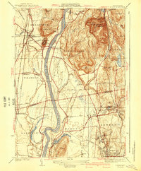 1941 Mt Toby1941 Print · USGSThe Pioneer Valley in the mid-thirties was a vital corridor for three major rail lines and a center for higher education. Genealogists can trace family names and landmarks across Sunderland and Amherst, including Massachusetts State College and the East Whately Cem.3 unique versions available
 - 1941 Map of Williamsburg
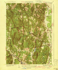 1941 Williamsburg1941 Print · USGSFranklin and Hampshire counties appear in the early 1940s, showing the intersection of industrial rail towns and upland forests. Researchers can trace the rail line to the Williamsburg Sta or find family landmarks like Petticoat Hill and West Whately.3 unique versions available
 - 1943 Map of Holyoke
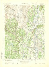 1943 Holyoke1943 Print · USGSThe Pioneer Valley and the eastern Berkshires are captured here in the early 1940s, showing a robust network of river-side industry and hill-country forests. Researchers can locate vanished landmarks and institutional grounds like Northampton State Hospital, Barnes Airport, and the Nat Gd Rifle Range.
 - 1943 Map of Brattleboro
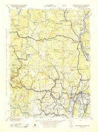 1943 Brattleboro1943 Print · USGSSouthern Vermont and the Massachusetts border area appear in this mid-century survey as a landscape of timbered peaks and river-connected villages. Genealogists can trace family roots through markers like Arms Cem or follow the rails at Dummerston Sta and Putney Sta.
 - 1944 Map of Mt Toby, 1954 Print
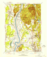 1944 Mt Toby1954 Print · USGSThe Pioneer Valley in the mid-forties shows a landscape defined by the Connecticut River and its railroads. Genealogists can trace family names through Wildwood Cemetery or North Sunderland Cem and locate schools like Three Corners Sch.2 unique versions available
 - 1948 Map of Albany, 1951 Print
 1948 Albany1951 Print · USGSThe Hudson and Connecticut River valleys are captured here in the late 1940s, showing the vital rail and water corridors of the Northeast. You can trace the Boston and Maine tracks past Mt Greylock or locate early settlements like Great Barrington and Bennington.
 - 1948 Map of Williamsburg, 1958 Print
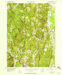 1948 Williamsburg1958 Print · USGSThe Mill River valley and eastern hills of Franklin County are captured just after the war, showing the industrial core at Williamsburg and Haydenville. Genealogists can locate old rural centers like the Poland Sch or family burials at Whately Center Cem and Southpart Cem.2 unique versions available
 - 1949 Map of Shelburne Falls
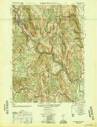 1949 Shelburne Falls1949 Print · USGSFranklin County's highland terrain and river valleys are shown here in the late Forties, when the village of Shelburne Falls served as a vital regional hub. Researchers can trace historic family burial sites like Pine Grove Cem and follow the route of the Boston and Maine Railroad.2 unique versions available
 - 1954 Map of Greenfield, 1956 Print
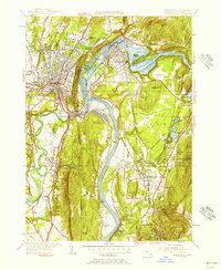 1954 Greenfield1956 Print · USGSThe Connecticut River valley thrives in the mid-1950s as a hub of industry, transport, and education. Researchers can trace the storied campuses of Deerfield Academy and Eagle Brook Sch or locate rail junctions at Montague Sta.2 unique versions available
Showing maps 1-25 of 63
Top cities near Deerfield
- Amherst historical maps
- Northampton historical maps
- Greenfield historical maps
- South Hadley historical maps
- Belchertown historical maps
- Montague historical maps
See more
Top neighborhoods of Deerfield
- South Deerfield historical maps
- Wapping historical maps
- Mill River historical maps
- East Deerfield historical maps
- West Deerfield historical maps
- Old Deerfield Village Historic District historical maps
Frequently asked questions
- What are the different types of historical maps available for Deerfield?
- What is the oldest map of Deerfield?
- Where can I purchase historical maps of Deerfield for my home or office?
- Where can I download high-res historical maps of Deerfield?
- Are there historical topographic maps available for Deerfield?
- Is there historical aerial imagery available for Deerfield?
- Where are historical maps of Deerfield sourced from?