2000s (21st Century) Maps of Hampshire County, Massachusetts
Explore 120 historic maps of Hampshire County from the 2000s (21st Century). These maps offer a rare glimpse into what life looked like during the 2000s — showing old roads, neighborhoods, homes, and landmarks that have changed or disappeared over time.
Whether you're researching your family's past, planning a metal detecting trip, or studying how Hampshire County's landscape evolved across the 2000s, these high-resolution maps are a powerful tool for exploring the history of this region.
- Focus on a specific era: All maps on this page are from the 2000s, giving you a focused view of this time period.
- See what’s changed: Compare century-old streets, trails, and buildings to today's modern landscape using overlays and satellite layers.
- Research with precision: Use these maps for genealogy, historical research, land use analysis, or educational projects.
- View, download, or print: Maps are fully viewable online in high resolution, and can be downloaded or printed for your own records.
Start exploring Hampshire County's history through authentic maps from the 2000s. This is your window into the past.
Hampshire County, MA maps
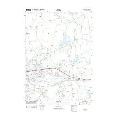
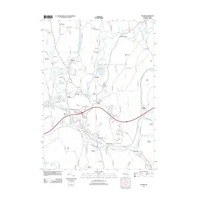
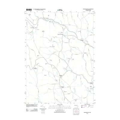
(120)- 2012 Map of Peru, 2012 Print
 2012 Peru2012 Print · USGSCovers Hampshire County, including Dalton, Hinsdale, and other nearby areas
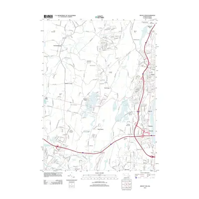
 - 2012 Map of Becket, 2012 Print
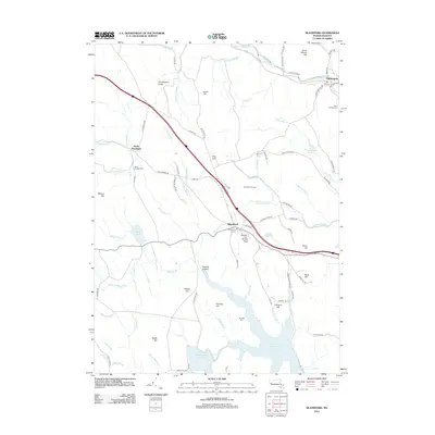
 2012 Becket2012 Print · USGSCovers Hampshire County, including Becket, Otis, and other nearby areas
 - 2012 Map of Ware, 2012 Print
 2012 Ware2012 Print · USGSCovers Hampshire County, including Ware, Barre, and other nearby areas
 - 2012 Map of Ludlow, 2012 Print
 2012 Ludlow2012 Print · USGSCovers Hampshire County, including Springfield, Ludlow, and other nearby areas
 - 2012 Map of Plainfield, 2012 Print
 2012 Plainfield2012 Print · USGSCovers Hampshire County, including Ashfield, Charlemont, and other nearby areas
 - 2012 Map of Mount Toby, 2012 Print
 2012 Mount Toby2012 Print · USGSCovers Hampshire County, including Amherst, Hadley, and other nearby areas
 - 2012 Map of Blandford, 2012 Print
 2012 Blandford2012 Print · USGSCovers Hampshire County, including Huntington, Russell, and other nearby areas
 - 2012 Map of Woronoco, 2012 Print
 2012 Woronoco2012 Print · USGSCovers Hampshire County, including Westfield, Southampton, and other nearby areas
 - 2012 Map of Westhampton, 2012 Print
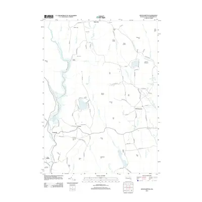 2012 Westhampton2012 Print · USGSCovers Hampshire County, including Southampton, Williamsburg, and other nearby areas
 - 2012 Map of Williamsburg, 2012 Print
 2012 Williamsburg2012 Print · USGSCovers Hampshire County, including Northampton, Deerfield, and other nearby areas
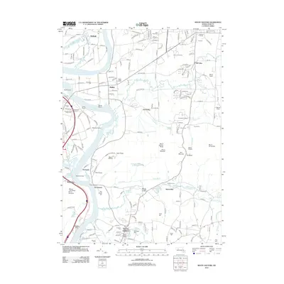
 - 2012 Map of Winsor Dam, 2012 Print
 2012 Winsor Dam2012 Print · USGSCovers Hampshire County, including Belchertown, Ware, and other nearby areas
 - 2012 Map of Ashfield, 2012 Print
 2012 Ashfield2012 Print · USGSCovers Hampshire County, including Buckland, Conway, and other nearby areas
 - 2012 Map of Palmer, 2012 Print
 2012 Palmer2012 Print · USGSCovers Hampshire County, including Belchertown, Palmer, and other nearby areas
 - 2012 Map of Mount Tom, 2012 Print
 2012 Mount Tom2012 Print · USGSCovers Hampshire County, including Chicopee, Westfield, and other nearby areas
 - 2012 Map of Quabbin Reservoir, 2012 Print
 2012 Quabbin Reservoir2012 Print · USGSCovers Hampshire County, including Hardwick, Shutesbury, and other nearby areas
 - 2012 Map of Warren, 2012 Print
 2012 Warren2012 Print · USGSCovers Hampshire County, including Palmer, Ware, and other nearby areas
 - 2012 Map of Shutesbury, 2012 Print
 2012 Shutesbury2012 Print · USGSCovers Hampshire County, including Amherst, Leverett, and other nearby areas
 - 2012 Map of Belchertown, 2012 Print
 2012 Belchertown2012 Print · USGSCovers Hampshire County, including Amherst, Belchertown, and other nearby areas
 - 2012 Map of Goshen, 2012 Print
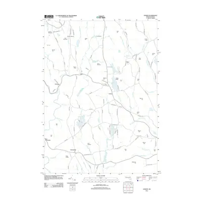 2012 Goshen2012 Print · USGSCovers Hampshire County, including Williamsburg, Conway, and other nearby areas
 - 2012 Map of Mount Holyoke, 2012 Print
 2012 Mount Holyoke2012 Print · USGSCovers Hampshire County, including Holyoke, Amherst, and other nearby areas
 - 2012 Map of Worthington, 2012 Print
 2012 Worthington2012 Print · USGSCovers Hampshire County, including Chesterfield, Worthington, and other nearby areas
 - 2012 Map of Easthampton, 2012 Print
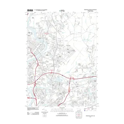
 2012 Easthampton2012 Print · USGSCovers Hampshire County, including Holyoke, Northampton, and other nearby areas
 - 2012 Map of Springfield North, 2012 Print
 2012 Springfield North2012 Print · USGSCovers Hampshire County, including Springfield, Chicopee, and other nearby areas
 - 2012 Map of Chester, 2012 Print
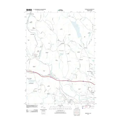
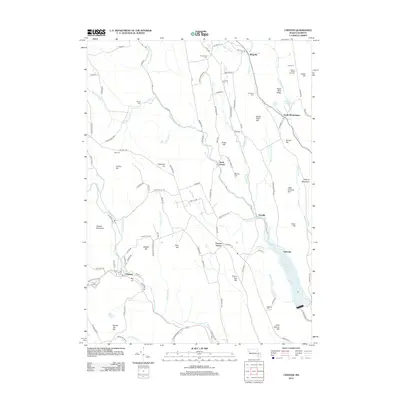 2012 Chester2012 Print · USGSCovers Hampshire County, including Huntington, Chester, and other nearby areas
 - 2015 Map of Winsor Dam, 2015 Print
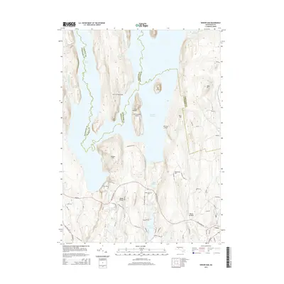 2015 Winsor Dam2015 Print · USGSCovers Hampshire County, including Belchertown, Ware, and other nearby areas
Showing maps 1-25 of 120
Top cities of Hampshire County
- Amherst historical maps
- Northampton historical maps
- South Hadley historical maps
- Easthampton historical maps
- Belchertown historical maps
- Ware historical maps
See more
Frequently asked questions
- What are the different types of historical maps available for Hampshire County?
- What is the oldest map of Hampshire County?
- Where can I purchase historical maps of Hampshire County for my home or office?
- Where can I download high-res historical maps of Hampshire County?
- Are there historical topographic maps available for Hampshire County?
- Is there historical aerial imagery available for Hampshire County?
- Where are historical maps of Hampshire County sourced from?