2000s (21st Century) Maps of Belchertown, Massachusetts
Explore 20 historic maps of Belchertown from the 2000s (21st Century). These maps offer a rare glimpse into what life looked like during the 2000s — showing old roads, neighborhoods, homes, and landmarks that have changed or disappeared over time.
Whether you're researching your family's past, planning a metal detecting trip, or studying how Belchertown's landscape evolved across the 2000s, these high-resolution maps are a powerful tool for exploring the history of this region.
- Focus on a specific era: All maps on this page are from the 2000s, giving you a focused view of this time period.
- See what’s changed: Compare century-old streets, trails, and buildings to today's modern landscape using overlays and satellite layers.
- Research with precision: Use these maps for genealogy, historical research, land use analysis, or educational projects.
- View, download, or print: Maps are fully viewable online in high resolution, and can be downloaded or printed for your own records.
Start exploring Belchertown's history through authentic maps from the 2000s. This is your window into the past.
Belchertown, MA maps
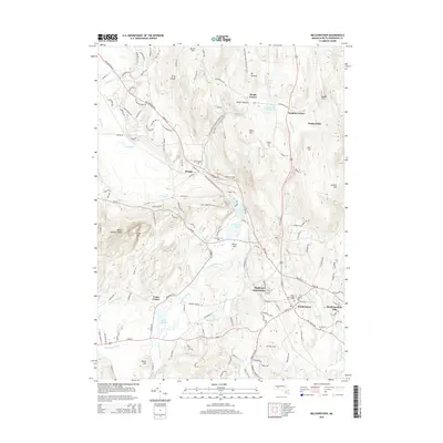
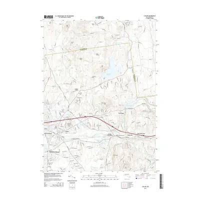
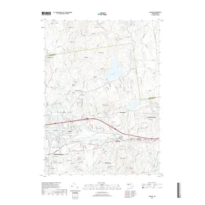
(20)- 2012 Map of Ludlow, 2012 Print
 2012 Ludlow2012 Print · USGSCovers Belchertown, including Springfield, Ludlow, and other nearby areas
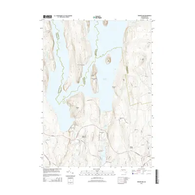
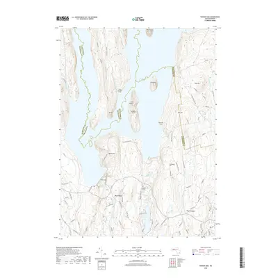
 - 2012 Map of Winsor Dam, 2012 Print
 2012 Winsor Dam2012 Print · USGSCovers Belchertown, including Ware, Hardwick, and other nearby areas
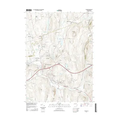
 - 2012 Map of Palmer, 2012 Print
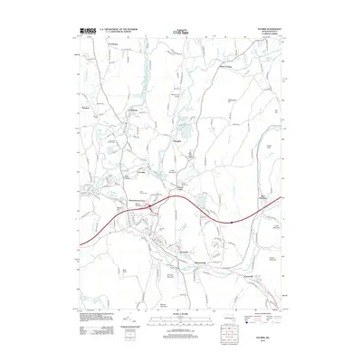 2012 Palmer2012 Print · USGSCovers Belchertown, including Palmer, Ware, and other nearby areas
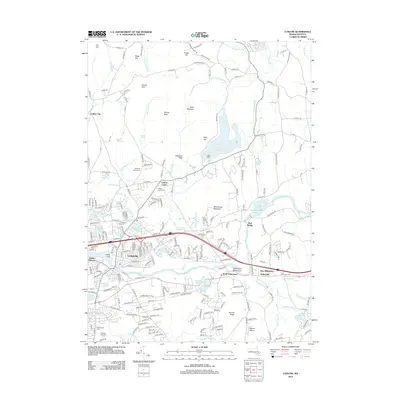
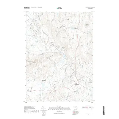
 - 2012 Map of Belchertown, 2012 Print
 2012 Belchertown2012 Print · USGSCovers Belchertown, including Amherst, Granby, and other nearby areas
 - 2015 Map of Winsor Dam, 2015 Print
 2015 Winsor Dam2015 Print · USGSCovers Belchertown, including Ware, Hardwick, and other nearby areas
 - 2015 Map of Belchertown, 2015 Print
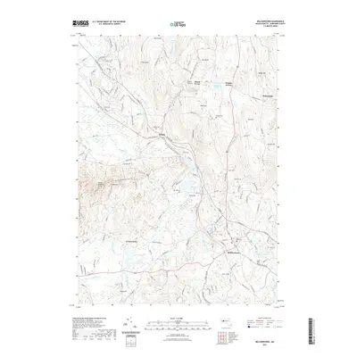
 2015 Belchertown2015 Print · USGSCovers Belchertown, including Amherst, Granby, and other nearby areas
 - 2015 Map of Ludlow, 2015 Print
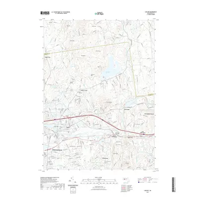
 2015 Ludlow2015 Print · USGSCovers Belchertown, including Springfield, Ludlow, and other nearby areas
 - 2015 Map of Palmer, 2015 Print
 2015 Palmer2015 Print · USGSCovers Belchertown, including Palmer, Ware, and other nearby areas
 - 2018 Map of Palmer, 2018 Print
 2018 Palmer2018 Print · USGSCovers Belchertown, including Palmer, Ware, and other nearby areas
 - 2018 Map of Winsor Dam, 2018 Print
 2018 Winsor Dam2018 Print · USGSCovers Belchertown, including Ware, Hardwick, and other nearby areas
 - 2018 Map of Belchertown, 2018 Print
 2018 Belchertown2018 Print · USGSCovers Belchertown, including Amherst, Granby, and other nearby areas
 - 2018 Map of Ludlow, 2018 Print
 2018 Ludlow2018 Print · USGSCovers Belchertown, including Springfield, Ludlow, and other nearby areas
 - 2021 Map of Belchertown, 2021 Print
 2021 Belchertown2021 Print · USGSCovers Belchertown, including Amherst, Granby, and other nearby areas
 - 2021 Map of Winsor Dam, 2021 Print
 2021 Winsor Dam2021 Print · USGSCovers Belchertown, including Ware, Hardwick, and other nearby areas
 - 2021 Map of Ludlow, 2021 Print
 2021 Ludlow2021 Print · USGSCovers Belchertown, including Springfield, Ludlow, and other nearby areas
 - 2021 Map of Palmer, 2021 Print
 2021 Palmer2021 Print · USGSCovers Belchertown, including Palmer, Ware, and other nearby areas
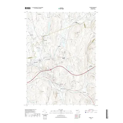
 - 2024 Map of Ludlow, 2024 Print
 2024 Ludlow2024 Print · USGSHampden and Hampshire counties are shown here in the 2020s, where the river-driven industry of the Chicopee River meets the high ridges of the Wilbraham Mountains. Genealogists can locate family sites like Benjamin Sikes Cem and Fuller Cem, while tracing the waters of Springfield Reservoir and Wallamanumpus Falls.
 - 2024 Map of Belchertown, 2024 Print
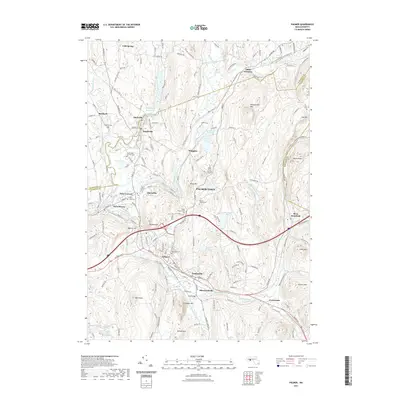
 2024 Belchertown2024 Print · USGSHampshire County in the twenty-first century maintains its rural character across the ridges and valleys of Belchertown. Family historians can trace local roots through Mount Hope Cem, Rural Cem, and the historic settlements of Packardville and Dwight.
 - 2024 Map of Palmer, 2024 Print
 2024 Palmer2024 Print · USGSThe industrial river valley of Palmer and Three Rivers is captured here in the early twenty-first century. Genealogists and historians can trace numerous burial sites like Saint Thomas Cem and old rail-to-trail routes such as the Mass Central Trl.
 - 2024 Map of Winsor Dam, 2024 Print
 2024 Winsor Dam2024 Print · USGSThe Hampshire County landscape is defined by the massive Quabbin Reservoir and its surrounding ridges in the modern era. Genealogists and local historians can trace family plots at Quabbin Park Cem or locate historic transit routes like Babcock Tavern Rd and Monson Turnpike Rd.
End of results
Showing maps 1-20 of 20
Top cities near Belchertown
- Springfield historical maps
- Chicopee historical maps
- Holyoke historical maps
- Amherst historical maps
- Northampton historical maps
- Agawam historical maps
See more
Top neighborhoods of Belchertown
- Bardwell historical maps
- Meads Corner historical maps
- South Quabbin Villa historical maps
- Dwight historical maps
- Cold Spring historical maps
- Pine Valley Plantation historical maps
See more
Frequently asked questions
- What are the different types of historical maps available for Belchertown?
- What is the oldest map of Belchertown?
- Where can I purchase historical maps of Belchertown for my home or office?
- Where can I download high-res historical maps of Belchertown?
- Are there historical topographic maps available for Belchertown?
- Is there historical aerial imagery available for Belchertown?
- Where are historical maps of Belchertown sourced from?