2020s Maps of Middlefield, Massachusetts
Explore 8 historic maps of Middlefield from the 2020s. These maps offer a rare glimpse into what life looked like during the 2020s — showing old roads, neighborhoods, homes, and landmarks that have changed or disappeared over time.
Whether you're researching your family's past, planning a metal detecting trip, or studying how Middlefield's landscape evolved across the 2020s, these high-resolution maps are a powerful tool for exploring the history of this region.
- Focus on a specific era: All maps on this page are from the 2020s, giving you a focused view of this time period.
- See what’s changed: Compare century-old streets, trails, and buildings to today's modern landscape using overlays and satellite layers.
- Research with precision: Use these maps for genealogy, historical research, land use analysis, or educational projects.
- View, download, or print: Maps are fully viewable online in high resolution, and can be downloaded or printed for your own records.
Start exploring Middlefield's history through authentic maps from the 2020s. This is your window into the past.
Middlefield, MA maps
(8)- 2021 Map of Chester, 2021 Print
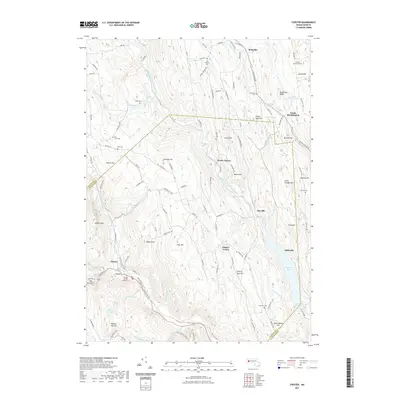 2021 Chester2021 Print · USGSCovers Middlefield, including Huntington, Chester, and other nearby areas
 - 2021 Map of Peru, 2021 Print
 2021 Peru2021 Print · USGSCovers Middlefield, including Dalton, Hinsdale, and other nearby areas
 - 2021 Map of Becket, 2021 Print
 2021 Becket2021 Print · USGSCovers Middlefield, including Becket, Otis, and other nearby areas
 - 2021 Map of Worthington, 2021 Print
 2021 Worthington2021 Print · USGSCovers Middlefield, including Chesterfield, Worthington, and other nearby areas
 - 2024 Map of Becket, 2024 Print
 2024 Becket2024 Print · USGSBecket and the Berkshire highlands are presented here in a modern survey of their historic settlements and conservation lands. Genealogists can locate several burial grounds, including Becket Center Cem and Washington Cem, while tracing old routes like Jacobs Ladder Rd.
 - 2024 Map of Peru, 2024 Print
 2024 Peru2024 Print · USGSThe high Berkshires around Peru and Hinsdale are shown in modern detail just as they appear today. Researchers can locate family plots at Wentworth Cem and North Cem or trace the seasonal camp footprints surrounding Ashmere Lake.
 - 2024 Map of Worthington, 2024 Print
 2024 Worthington2024 Print · USGSHampshire County highlands appear in high detail during the early 2020s, showing a landscape defined by the Westfield River and historic hill towns. Genealogists can locate family plots at Village Cem or North Cem and trace the winding paths of Berkshire Trl.
 - 2024 Map of Chester, 2024 Print
 2024 Chester2024 Print · USGSThe hills of the Hampshire and Hampden border appear in high detail during this era of rural preservation. Researchers can locate early family plots like Ireland Street Cem and Converse Cem, or trace the industrial roots of Chester Factory.
End of results
Showing maps 1-8 of 8
Top cities near Middlefield
- Pittsfield historical maps
- Westfield historical maps
- Dalton historical maps
- Southampton historical maps
- Lee historical maps
- Lenox historical maps
See more
Top neighborhoods of Middlefield
Frequently asked questions
- What are the different types of historical maps available for Middlefield?
- What is the oldest map of Middlefield?
- Where can I purchase historical maps of Middlefield for my home or office?
- Where can I download high-res historical maps of Middlefield?
- Are there historical topographic maps available for Middlefield?
- Is there historical aerial imagery available for Middlefield?
- Where are historical maps of Middlefield sourced from?