2000s (21st Century) Maps of Northampton, Massachusetts
Explore 15 historic maps of Northampton from the 2000s (21st Century). These maps offer a rare glimpse into what life looked like during the 2000s — showing old roads, neighborhoods, homes, and landmarks that have changed or disappeared over time.
Whether you're researching your family's past, planning a metal detecting trip, or studying how Northampton's landscape evolved across the 2000s, these high-resolution maps are a powerful tool for exploring the history of this region.
- Focus on a specific era: All maps on this page are from the 2000s, giving you a focused view of this time period.
- See what’s changed: Compare century-old streets, trails, and buildings to today's modern landscape using overlays and satellite layers.
- Research with precision: Use these maps for genealogy, historical research, land use analysis, or educational projects.
- View, download, or print: Maps are fully viewable online in high resolution, and can be downloaded or printed for your own records.
Start exploring Northampton's history through authentic maps from the 2000s. This is your window into the past.
Northampton, MA maps
(15)- 2012 Map of Williamsburg, 2012 Print
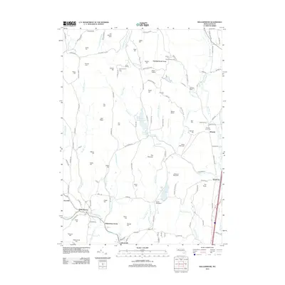 2012 Williamsburg2012 Print · USGSHampshire County's hill towns and river valleys are captured here in the early twenty-first century as they maintain their historic character. Researchers can trace local lineage through Whately Center Cem, locate the former Williamsburg Station, and identify old family holdings like Quontquont Farm.
 - 2012 Map of Mount Holyoke, 2012 Print
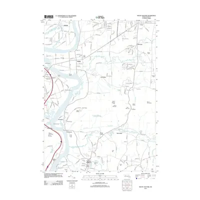 2012 Mount Holyoke2012 Print · USGSThe Pioneer Valley and Mount Holyoke Range appear here in the early twenty-first century, showing a landscape shaped by both academia and the Connecticut River. Researchers can locate Evergreen Cemetery, the river landing at Smiths Ferry, and the historic industrial site of Aldrich Mills.
 - 2012 Map of Easthampton, 2012 Print
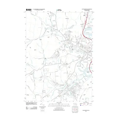 2012 Easthampton2012 Print · USGSThe Pioneer Valley comes into focus in this study of the early twenty-first century, showing the established communities and academic landscapes of the Connecticut River western bank. Genealogists and historians can trace numerous sites like Saint Stanislaus Cem, Smith College, and the old mill sites at Nashawannuck Pond.
 - 2015 Map of Easthampton, 2015 Print
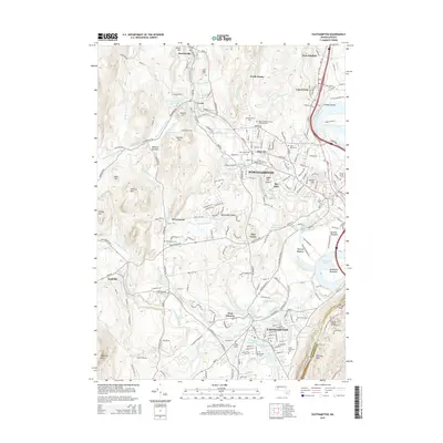 2015 Easthampton2015 Print · USGSNorthampton and Easthampton are captured in the mid-2010s, showcasing a landscape defined by historic industrial ponds and a dense collection of community burial grounds. Researchers can trace local lineage through Saint Marys Cem and Saint Brigids Cem or locate the historic campus of Smith Coll.
 - 2015 Map of Mount Holyoke, 2015 Print
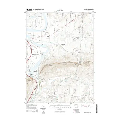 2015 Mount Holyoke2015 Print · USGSThe Pioneer Valley is captured here in the mid-2010s, showing the historic academic centers and the ridgelines of the Mount Holyoke Range. Researchers can trace old burial grounds like Old Hadley Cem or find local landmarks such as Aldrich Mills and Smiths Ferry.
 - 2015 Map of Williamsburg, 2015 Print
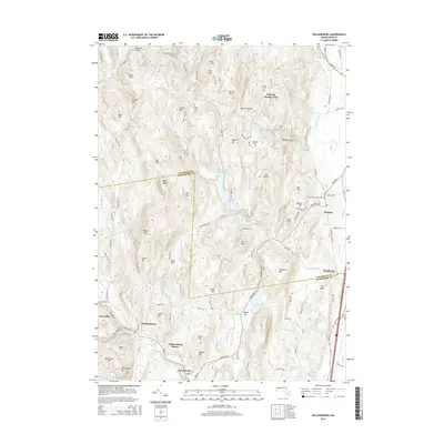 2015 Williamsburg2015 Print · USGSMid-century Massachusetts life centers on the valley villages and upland reservoirs of Hampshire County. Researchers can trace family history through Cricket Hill Cem, locate the old Williamsburg Station, and explore the terrain around Roaring Brook Camp and Searsville.
 - 2018 Map of Williamsburg, 2018 Print
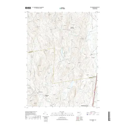 2018 Williamsburg2018 Print · USGSHampshire and Franklin counties meet in this western Massachusetts hill country during the late twenty-teens. Genealogists can locate family landmarks like Boyden Cemetery and South Part Cemetery or trace the early rail connections at Williamsburg Station.
 - 2018 Map of Mount Holyoke, 2018 Print
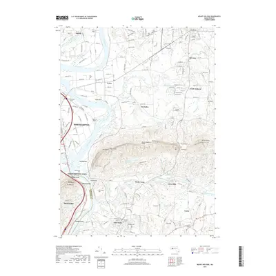 2018 Mount Holyoke2018 Print · USGSThe Pioneer Valley near the Hampshire and Hampden county line is captured in this modern survey of collegiate and river town life. Genealogists and historians can trace the campuses of Amherst College and Hampshire College, as well as Saint Brigids Cem and the New England Central Railroad.
 - 2018 Map of Easthampton, 2018 Print
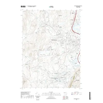 2018 Easthampton2018 Print · USGSThe Pioneer Valley comes into sharp focus during the late 2010s, showcasing the transition from industrial hubs to academic and residential centers. Researchers can locate family heritage sites like Saint Peter and Paul Russian Orthodox Cem or explore the geography of Loudville and Smith College.
 - 2021 Map of Williamsburg, 2021 Print
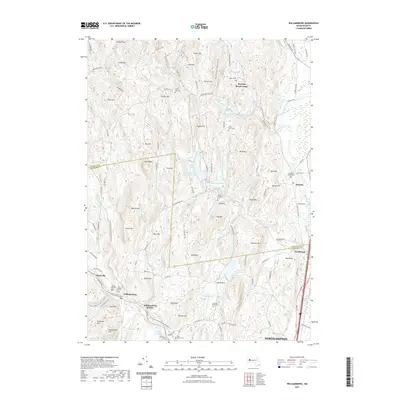 2021 Williamsburg2021 Print · USGSHampshire County at the start of the 2020s shows a landscape shaped by upland ridges and a complex network of reservoirs. Genealogists and local historians can trace burial sites like Old Village Hill Cemetery or locate the site of Williamsburg Station along the Mill River.
 - 2021 Map of Easthampton, 2021 Print
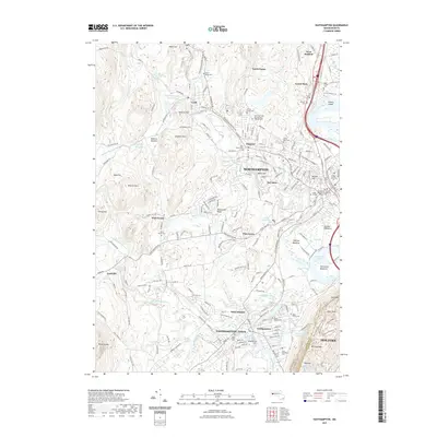 2021 Easthampton2021 Print · USGSThe industrial and academic heart of the Pioneer Valley is on display in this contemporary study of the Connecticut River corridor. Genealogists and historians can trace family roots through numerous burial sites like Bridge Street Cem and Saint Marys Cem, or locate landmarks such as Smith College.
 - 2021 Map of Mount Holyoke, 2021 Print
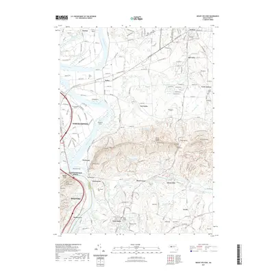 2021 Mount Holyoke2021 Print · USGSThe Pioneer Valley and Mount Holyoke Range are shown here in the 2020s, highlighting the region's celebrated collegiate and riverfront landscapes. Researchers can trace historic burial grounds like Old Hadley Cem, locate Smiths Ferry, or follow the Norwottuck Rail Trl.
 - 2024 Map of Williamsburg, 2024 Print
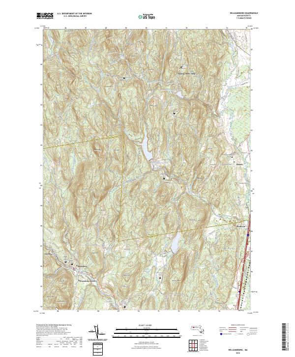 2024 Williamsburg2024 Print · USGSThe hill towns of the Franklin and Hampshire county border are seen here in their modern context, where historic industry meets new recreation. Genealogists can trace family names through sites like Cricket Hill Cem, High Street School, and the Brass Millpond.
 - 2024 Map of Mount Holyoke, 2024 Print
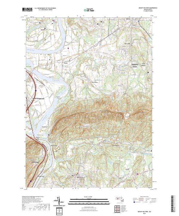 2024 Mount Holyoke2024 Print · USGSThe Pioneer Valley remains a blend of esteemed collegiate campuses and protected wildlife corridors in this current-century survey. Genealogists can locate family sites at the Old Hadley Cem and South Amherst Cem, while hikers can trace the Metacomet-Monadnock Trl across the peaks.
 - 2024 Map of Easthampton, 2024 Print
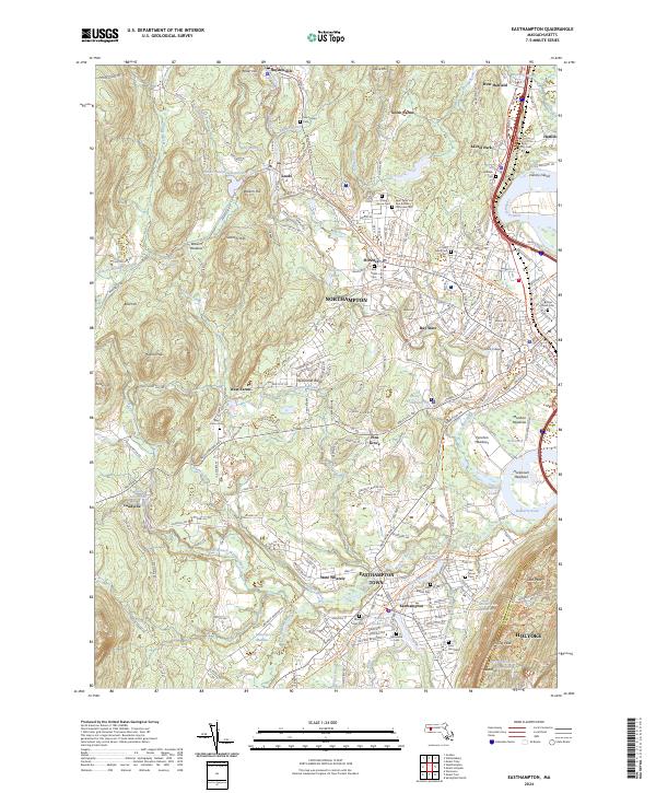 2024 Easthampton2024 Print · USGSNorthampton and Easthampton are showcased in this modern era, where the industrial past of the Pioneer Valley meets its contemporary focus on education and recreation. Genealogists can trace family names through sites like Saint Brigids Cem and Hebrew Cem while following the Manhan Rail Trl.
End of results
Showing maps 1-15 of 15
Top cities near Northampton
- Springfield historical maps
- Chicopee historical maps
- Westfield historical maps
- Holyoke historical maps
- Amherst historical maps
- Agawam historical maps
See more
Top neighborhoods of Northampton
- Laurel Park historical maps
- North Farms historical maps
- Pine Grove historical maps
- West Farms historical maps
- Leeds historical maps
- Bay State historical maps
See more
Frequently asked questions
- What are the different types of historical maps available for Northampton?
- What is the oldest map of Northampton?
- Where can I purchase historical maps of Northampton for my home or office?
- Where can I download high-res historical maps of Northampton?
- Are there historical topographic maps available for Northampton?
- Is there historical aerial imagery available for Northampton?
- Where are historical maps of Northampton sourced from?