Old Maps of Stow, Massachusetts for Metal Detecting
Plan your next treasure hunt with 38 historic maps of Stow. Find old homesites, ghost towns, trails, and gathering spots that may be lost to time — perfect for identifying promising metal detecting locations.
- Locate forgotten sites: Uncover places like long-lost settlements, abandoned rail lines, or gathering spots.
- Plan better hunts: Use map overlays combined with LiDAR or satellite views to narrow in on historically rich areas.
- Made for detectorists: Thousands of hobbyists use these maps to discover relics, coins, and hidden history.
Use these historic maps to boost your research and find new opportunities beneath the surface of Stow.
Stow, MA maps
(38)- 1886 Map of Framingham
 1886 Framingham1886 Print · USGSMiddlesex County emerges as a bustling hub of rail transit and water infrastructure at the close of the 1800s. Genealogists and historians can trace family locations near the Mass. State Muster Grounds, the State Prison, or the historic Wayside Inn.
 - 1887 Map of Marlboro
 1887 Marlboro1887 Print · USGSWorcester County is captured during its industrial transition, showing the vital rail and water networks connecting the region. Researchers can trace the development of the Metropolitan Waterworks Aqueduct and locate landmarks like the Westboro Insane Hospital and Lyman School.
 - 1889 Map of Marlboro
 1889 Marlboro1889 Print · USGSCentral Massachusetts at the close of the 1880s was a bustling hub of rail activity and industrial development. Local historians can trace early transportation routes like the Fitchburg Railroad through Still River Station and find old-world village names like Rock Bottom and Straw Hollow.
 - 1889 Map of Framingham
 1889 Framingham1889 Print · USGSThe Framingham and Concord region flourished as a late nineteenth-century rail and industrial hub. Genealogists and historians can trace the early layouts of Saxonville, the American Powder Co., and the Mass. State Muster Grounds.
 - 1894 Map of Framingham
 1894 Framingham1894 Print · USGSMiddlesex County in the late nineteenth century is a landscape of thriving rail depots and literary landmarks. Genealogists and historians can trace the foundations of local life at the Wayside Inn, the State Prison, and the Mass. State Muster Grounds.11 unique versions available
 - 1896 Map of Marlboro
 1896 Marlboro1896 Print · USGSCentral Massachusetts in the late nineteenth century is a landscape of thriving mill towns and interlocking rail lines. Researchers can trace the Victorian-era footprints of Marlboro and Clinton, locating vanished stops like Still River Station and family landmarks like Whittemore Hill.
 - 1898 Map of Marlboro
 1898 Marlboro1898 Print · USGSCentral Massachusetts was a thriving network of rail and river industry at the end of the Victorian era. Genealogists and historians can trace the early layouts of manufacturing hubs like Clinton and Hudson or find smaller vanished locales like Rockbottom and Pratt Junction.8 unique versions available
 - 1908 Map of Quinsigamond
 1908 Quinsigamond1908 Print · USGSCentral Massachusetts and its bordering states are seen here in the early twentieth century as industry and transit reshaped the Blackstone Valley. Genealogists and historians can trace the early footprints of Worcester, the expansion of the Wachusett Reservoir, and rail lines like the Boston and Albany Railroad.3 unique versions available
 - 1918 Map of Framingham
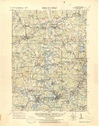 1918 Framingham1918 Print · USGSEastern Massachusetts is seen here as a bustling rail-and-river corridor during the early twentieth century. Genealogists and historians can trace old property lines and landmarks like the Wayside Inn, the State Prison, and Nine Acre Corner.2 unique versions available
 - 1943 Map of Boston
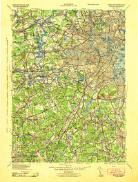 1943 Boston1943 Print · USGSGreater Boston and its southern suburbs appear here during the mobilization of the early 1940s. Genealogists and historians can trace the early footprints of Commonwealth Airport, military sites like Fort Winthrop, and local institutions such as Pondville State Hospital.
 - 1943 Map of Maynard
 1943 Maynard1943 Print · USGSMiddlesex County at the height of the Second World War shows a landscape defined by the Assabet River and a thriving rail economy. Genealogists and local historians can trace family plots at Mt Hope Cem or study the grounds of the Concord Reformatory.2 unique versions available
 - 1943 Map of Quinsigamond
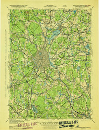 1943 Quinsigamond1943 Print · USGSCentral Massachusetts and its bordering states appear here during the Second World War as a powerhouse of rail infrastructure and public institutions. Researchers can trace the legacy of the region through landmarks like Grafton State Hospital, the Wachusett Reservoir, and the deep industrial roots of the Blackstone River.
 - 1943 Map of Hudson
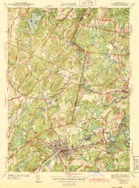 1943 Hudson1943 Print · USGSThe townships of Middlesex and Worcester Counties are shown here during the early 1940s as rural crossroads began to evolve. Genealogists and local historians can trace family-named sites like Potash Hill, find the Old Quaker Ch, and locate old schoolhouses like Emerson Sch.4 unique versions available
 - 1948 Map of Boston
 1948 Boston1948 Print · USGSEastern Massachusetts and southern New Hampshire appear at an industrial peak in the late 1940s, just as suburban growth began to accelerate. Genealogists and historians can trace rail lines like the Boston and Albany RR or locate coastal landmarks like Graves Lighthouse and Fort Devens.2 unique versions available
 - 1950 Map of Maynard, 1952 Print
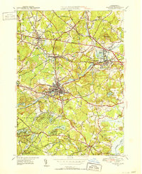 1950 Maynard1952 Print · USGSMiddlesex County's transition from an industrial river-valley hub to a mid-century residential landscape is visible in this mid-century survey. Trace family roots at St Bridgets Cem, follow the rail lines at West Acton, or locate the extensive U S Military Reservation.4 unique versions available
 - 1950 Map of Hudson, 1958 Print
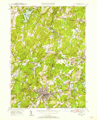 1950 Hudson1958 Print · USGSMid-century Middlesex and Worcester counties come to life as the industrial Assabet River valley meets rural Bolton and Stow. Trace the Boston and Maine Railroad past Gleasondale Sta or find family roots at Old Quaker Cem and Bromfield Academy.3 unique versions available
 - 1956 Map of Boston, 1967 Print
 1956 Boston1967 Print · USGSThe Massachusetts coastline and industrial interior are seen here during the mid-century peak of suburban and highway expansion. Researchers can trace historic harbor defenses like Fort Revere, local landmarks such as Faneuil Hall, and the vast Parker River National Wildlife Refuge.6 unique versions available
 - 1958 Map of Boston
 1958 Boston1958 Print · USGSEastern Massachusetts and southern New Hampshire are shown at the height of the industrial era, before the full expansion of the interstate system. Trace coastal defenses at Fort Warren, historic rail lines like the Boston and Maine, and the development of the Mass. 128 corridor.2 unique versions available
 - 1961 Map of Boston
 1961 Boston1961 Print · USGSThe Massachusetts coastline and its industrial interior are detailed here in the mid-twentieth century, from the Monadnock highlands to Cape Cod. Researchers can trace the rail routes of the Boston and Maine or locate landmarks like Fort Devens and the Wachusett Reservoir.2 unique versions available
 - 1965 Map of Maynard, 1967 Print
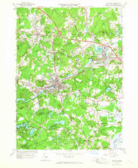 1965 Maynard1967 Print · USGSMid-century Middlesex County highlights a landscape of growing suburbs and deep-rooted industry along the Assabet River. Genealogists and historians can trace the development of Maynard and Sudbury, locating the Concord Reformatory and numerous family-named landmarks like Vose Hill.3 unique versions available
 - 1966 Map of Hudson, 1968 Print
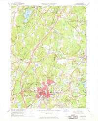 1966 Hudson1968 Print · USGSMiddlesex and Worcester counties meet here in the mid-sixties, showing the industrial pulse of Hudson and the surrounding rural townships. Researchers can trace family history through a dozen named burial grounds like St Michaels Cem or locate old neighborhood schools and rail stops along the Boston and Maine Railroad.2 unique versions available
 - 1977 Map of Hudson, 1981 Print
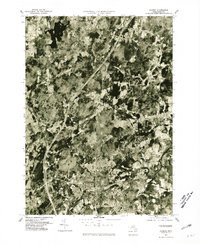 1977 Hudson1981 Print · USGSMiddlesex County emerges from its agrarian past into a burgeoning suburban era in this late-seventies aerial study. Researchers can trace land development around the Assabet River or locate family sites in Hudson, Bolton, and Stow.
 - 1977 Map of Maynard, 1981 Print
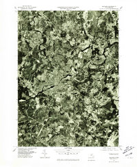 1977 Maynard1981 Print · USGSMiddlesex County enters the late seventies as a landscape of historic mill towns and growing residential corridors. Trace the development of Maynard and West Concord along the banks of the Assabet River.
 - 1985 Map of Boston, 1986 Print
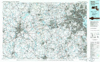 1985 Boston1986 Print · USGSThe Massachusetts urban core and its expanding suburbs are captured in the mid-eighties, showing the reach of the Mass Turnpike and Route 128. Genealogists and historians can trace the evolution of towns from Lexington to Waltham, locating landmarks like Harvard University and Minute Man National Historical Park.
 - 1987 Map of Maynard
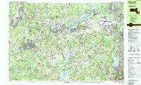 1987 Maynard1987 Print · USGSMiddlesex County in the late eighties shows a landscape shaped by Revolutionary history, conservation, and military research. Genealogists and historians can trace family plots in Glenwood Cem and explore the bounds of Minute Man Nat Hist Park or Walden Pond State Res.2 unique versions available
Showing maps 1-25 of 38
Top cities near Stow
- Worcester historical maps
- Lowell historical maps
- Framingham historical maps
- Leominster historical maps
- Billerica historical maps
- Marlborough historical maps
See more
Top neighborhoods of Stow
Frequently asked questions
- What are the different types of historical maps available for Stow?
- What is the oldest map of Stow?
- Where can I purchase historical maps of Stow for my home or office?
- Where can I download high-res historical maps of Stow?
- Are there historical topographic maps available for Stow?
- Is there historical aerial imagery available for Stow?
- Where are historical maps of Stow sourced from?