1900s (20th Century) Maps of Hull, Massachusetts
Explore 21 historic maps of Hull from the 1900s (20th Century). These maps offer a rare glimpse into what life looked like during the 1900s — showing old roads, neighborhoods, homes, and landmarks that have changed or disappeared over time.
Whether you're researching your family's past, planning a metal detecting trip, or studying how Hull's landscape evolved across the 1900s, these high-resolution maps are a powerful tool for exploring the history of this region.
- Focus on a specific era: All maps on this page are from the 1900s, giving you a focused view of this time period.
- See what’s changed: Compare century-old streets, trails, and buildings to today's modern landscape using overlays and satellite layers.
- Research with precision: Use these maps for genealogy, historical research, land use analysis, or educational projects.
- View, download, or print: Maps are fully viewable online in high resolution, and can be downloaded or printed for your own records.
Start exploring Hull's history through authentic maps from the 1900s. This is your window into the past.
Hull, MA maps
(21)- 1903 Map of Boston Bay
 1903 Boston Bay1903 Print · USGSThe Massachusetts North and South Shores are seen here at the turn of the century as a hub of rail-connected maritime life. You can trace the path of old rail divisions to historic coastal landings at Point of Pines, Marblehead, and the naval defenses at Ft. Warren.9 unique versions available
 - 1936 Map of Nantasket
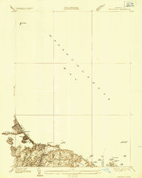 1936 Nantasket1936 Print · USGSThe Massachusetts coastline near Cohasset and Hingham shows a detailed view of beach resorts and rocky harbors in the mid-1930s. Genealogists can trace family footprints around Atlantic, the Damon Sch, and the offshore Minots Ledge Lighthouse.
 - 1941 Map of Nantasket
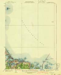 1941 Nantasket1941 Print · USGSCoastal Plymouth County in the years before the war shows a landscape defined by maritime heritage and seaside growth. Researchers can trace the development of Kenberma, locate the old Patriot Sch, and study the offshore positions of The Graves and the Boston Lightship.3 unique versions available
 - 1944 Map of Hull
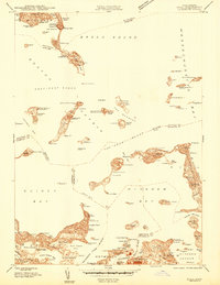 1944 Hull1944 Print · USGSCoastal Massachusetts at the height of the Second World War is captured here through the harbor's intricate islands and shorelines. Genealogists and maritime historians can trace residential roots in Houghs Neck or study military sites like Ft Andrews and Ft Duvall.
 - 1946 Map of Hull
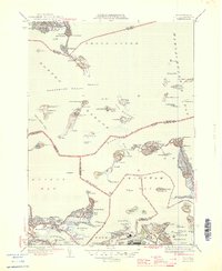 1946 Hull1946 Print · USGSBoston Harbor and the Hull peninsula appear here in the 1940s, revealing a landscape defined by coastal fortifications and seaside neighborhoods. Researchers can trace the military history of Ft Warren and Ft Dawes or find local landmarks like the Long Island Hospital and Boston Light.4 unique versions available
 - 1948 Map of Boston
 1948 Boston1948 Print · USGSEastern Massachusetts and southern New Hampshire appear at an industrial peak in the late 1940s, just as suburban growth began to accelerate. Genealogists and historians can trace rail lines like the Boston and Albany RR or locate coastal landmarks like Graves Lighthouse and Fort Devens.2 unique versions available
 - 1948 Map of Hull
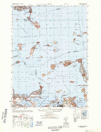 1948 Hull1948 Print · USGSCoastal life and military defenses along the Massachusetts shoreline come into focus in the late 1940s. Genealogists and local historians can locate specific landmarks from the House of Correction to Ft Warren and the residential streets of Houghs Neck.
 - 1949 Map of Nantasket, 1958 Print
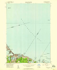 1949 Nantasket1958 Print · USGSThe South Shore at mid-century reveals a blend of coastal leisure and vital maritime safety. Genealogists and historians can trace the residential layouts of Kenberma and North Cohasset or locate the storied Minots Ledge Lighthouse.
 - 1949 Map of Hull, 1958 Print
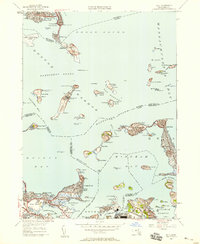 1949 Hull1958 Print · USGSThe islands and peninsulas of Boston Harbor are captured here at mid-century, just as the region transitioned toward modern aviation and utility infrastructure. Genealogists and historians can trace the foundations of Logan International Airport and coastal defenses like Ft Warren and Ft Duvall.
 - 1956 Map of Boston, 1967 Print
 1956 Boston1967 Print · USGSThe Massachusetts coastline and industrial interior are seen here during the mid-century peak of suburban and highway expansion. Researchers can trace historic harbor defenses like Fort Revere, local landmarks such as Faneuil Hall, and the vast Parker River National Wildlife Refuge.6 unique versions available
 - 1958 Map of Boston
 1958 Boston1958 Print · USGSEastern Massachusetts and southern New Hampshire are shown at the height of the industrial era, before the full expansion of the interstate system. Trace coastal defenses at Fort Warren, historic rail lines like the Boston and Maine, and the development of the Mass. 128 corridor.2 unique versions available
 - 1958 Map of Hull, 1959 Print
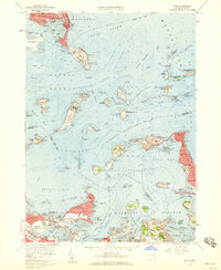 1958 Hull1959 Print · USGSBoston Harbor's outer islands and the narrow Hull peninsula are captured here in the late fifties during a period of active military and institutional use. Researchers can locate coastal batteries at Fort Andrews, trace the neighborhood streets of Adams Shore, or find the Stony Beach Coast Guard Sta.2 unique versions available
 - 1961 Map of Boston
 1961 Boston1961 Print · USGSThe Massachusetts coastline and its industrial interior are detailed here in the mid-twentieth century, from the Monadnock highlands to Cape Cod. Researchers can trace the rail routes of the Boston and Maine or locate landmarks like Fort Devens and the Wachusett Reservoir.2 unique versions available
 - 1961 Map of Nantasket, 1963 Print
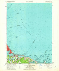 1961 Nantasket1963 Print · USGSThe Massachusetts coastline in the early sixties shows the vibrant seaside life and maritime hazards of the South Shore. Genealogists and local historians can trace family properties near Paragon Park, North Cohasset, and the historic Boston Light.2 unique versions available
 - 1971 Map of Hull, 1972 Print
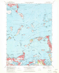 1971 Hull1972 Print · USGSThe outer Boston islands and the Nantasket peninsula are shown in detail during the early seventies, capturing a landscape of coastal defense and maritime history. Researchers can trace the footprints of Fort Warren, the iconic Boston Lighthouse, and institutional sites like the Long Island Hospital.2 unique versions available
 - 1974 Map of Nantasket Beach, 1975 Print
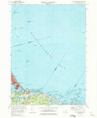 1974 Nantasket Beach1975 Print · USGSThe South Shore's famous coastal resorts and hazardous shipping lanes are detailed in this mid-seventies survey of the Massachusetts coast. Genealogists and historians can trace the footprint of Paragon Park, the homes of North Cohasset, and the offshore beacons like Boston Light.2 unique versions available
 - 1977 Map of Nantasket Beach, 1980 Print
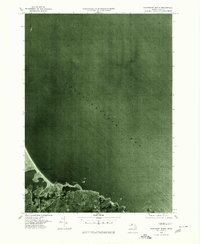 1977 Nantasket Beach1980 Print · USGSThe South Shore's coastline in the late seventies is captured here through detailed aerial photography. You can trace the residential patterns of North Cohasset and the fragile peninsula of Nantasket Beach along Straits Pond.
 - 1977 Map of Hull, 1980 Print
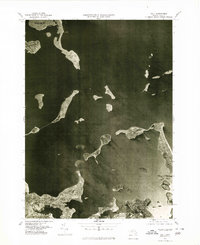 1977 Hull1980 Print · USGSThe Massachusetts coastline and Boston Harbor islands are captured in high detail in the late seventies. Genealogists and historians can trace the exact footprint of neighborhoods in Hull and Winthrop or follow the paths of the Fore River and Weir River.
 - 1984 Map of Hull
 1984 Hull1984 Print · USGSThe South Shore and Boston Harbor islands are captured in detail during the mid-eighties, showing a landscape defined by maritime navigation and coastal defense. Researchers can trace historic fortifications like Fort Warren and Fort Standish or locate family sites in Nantasket Beach and Allerton.
 - 1984 Map of Provincetown, 1986 Print
 1984 Provincetown1986 Print · USGSThe Massachusetts coastline and the tip of Cape Cod appear here during the mid-eighties, highlighting the region's dense coastal settlements and maritime defenses. You can locate family landmarks in Marshfield, trace the grounds of the North Truro Air Force Station, and explore the islands of Boston Harbor like Peddocks Island.2 unique versions available
 - 1997 Map of Hull, 1999 Print
 1997 Hull1999 Print · USGSThe Hull peninsula and Boston's outer harbor islands are shown here in detail during the late 1990s. Genealogists and local historians can trace coastal neighborhoods from Allerton to Kenberma, or locate historic maritime defenses like Fort Warren and Fort Standish.
End of results
Showing maps 1-21 of 21
Top cities near Hull
- Boston historical maps
- Cambridge historical maps
- Brockton historical maps
- Quincy historical maps
- Lynn historical maps
- Somerville historical maps
See more
Top neighborhoods of Hull
- Windemere historical maps
- Atlantic historical maps
- Bayside historical maps
- Fort Andrews historical maps
- Kenberma historical maps
- Pemberton historical maps
See more
Frequently asked questions
- What are the different types of historical maps available for Hull?
- What is the oldest map of Hull?
- Where can I purchase historical maps of Hull for my home or office?
- Where can I download high-res historical maps of Hull?
- Are there historical topographic maps available for Hull?
- Is there historical aerial imagery available for Hull?
- Where are historical maps of Hull sourced from?