Old Maps of Marion, Massachusetts for Metal Detecting
Plan your next treasure hunt with 53 historic maps of Marion. Find old homesites, ghost towns, trails, and gathering spots that may be lost to time — perfect for identifying promising metal detecting locations.
- Locate forgotten sites: Uncover places like long-lost settlements, abandoned rail lines, or gathering spots.
- Plan better hunts: Use map overlays combined with LiDAR or satellite views to narrow in on historically rich areas.
- Made for detectorists: Thousands of hobbyists use these maps to discover relics, coins, and hidden history.
Use these historic maps to boost your research and find new opportunities beneath the surface of Marion.
Marion, MA maps
(53)- 1885 Map of New Bedford
 1885 New Bedford1885 Print · USGSThe Buzzards Bay coastline and its industrial hubs are captured here as the maritime economy met the rising age of rail. Genealogy and local history researchers can trace the streets of New Bedford, the tracks of the Old Colony Railroad, and coastal landmarks like Clark Point Light.
 - 1885 Map of Middleboro
 1885 Middleboro1885 Print · USGSPlymouth County at the height of its nineteenth-century rail expansion is anchored by the hub at Middleboro. Genealogists and historians can trace defunct stops like Haskins Station and Rock Station or locate families in The Green and Paper Mill Village.
 - 1886 Map of Falmouth
 1886 Falmouth1886 Print · USGSThe Cape Cod peninsula during the late nineteenth century shows a landscape transitioning between maritime tradition and rail-driven growth. Genealogists can trace family footprints in Waquoit Village, Teaticket, and Menauhant while following the Old Colony Railroad corridor.
 - 1888 Map of New Bedford
 1888 New Bedford1888 Print · USGSThe bustling whale oil and textile hub of New Bedford is shown here at its maritime peak in the late nineteenth century. Genealogists can trace early neighborhood grids and find outlying rural stops like Braleys Station, Turners Mills, and Nasketucket.
 - 1888 Map of Falmouth
 1888 Falmouth1888 Print · USGSThe Buzzards Bay coastline and upper Cape Cod are captured here in the late nineteenth century, documenting the critical arrival of the railroad. Researchers can trace the Old Colony Railroad to its terminus at Woods Holl or locate maritime landmarks like Wing's Neck Light.
 - 1888 Map of Middleboro
 1888 Middleboro1888 Print · USGSPlymouth County in the late nineteenth century is a bustling intersection of iron and water, where the Old Colony Railroad branches reach across the landscape. Genealogists and historians can trace the early footprints of Paper Mill Village, The Green, and Haskins Station before modern development changed these local centers.
 - 1893 Map of Middleboro
 1893 Middleboro1893 Print · USGSThe Plymouth County landscape in the 1890s is captured here as a major rail hub. Genealogists can trace family footprints near Rock Station, the mills of Paper Mill Village, and along the shores of Assawompsett Pond.8 unique versions available
 - 1893 Map of Falmouth
 1893 Falmouth1893 Print · USGSCape Cod's western shore and the upper reaches of Buzzards Bay are captured here in the late nineteenth century as rail travel transformed the coast. Genealogists can trace family names at Waquoit Village or follow the Old Colony Railroad through Woods Holl and Falmouth Station.9 unique versions available
 - 1893 Map of New Bedford
 1893 New Bedford1893 Print · USGSThe South Coast of Massachusetts is captured here in the late nineteenth century as a hub of maritime trade and rail transit. Researchers can trace the waterfront development of New Bedford, find old coastal lights like Neds Point Light, and locate family settlements at Potomska and Apponagansett.9 unique versions available
 - 1915 Map of Falmouth, 1943 Print
 1915 Falmouth1943 Print · USGSUpper Cape Cod during the mid-forties reveals a landscape of growing military activity alongside traditional coastal villages. Genealogists and historians can trace the foundations of Camp Edwards and find historic post offices at Waquoit Village or Monument Beach.
 - 1916 Map of Middleboro
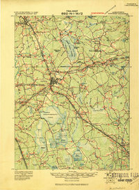 1916 Middleboro1916 Print · USGSSoutheastern Massachusetts at the height of its rail-and-mill era shows a dense network of stations and wetlands. Trace the Old Colony Railroad lines to sites like Haskins Station, Paper Mill Village, and the Lakeville State Sanatarium.
 - 1918 Map of Middleboro, 1921 Print
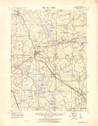 1918 Middleboro1921 Print · USGSSoutheastern Massachusetts at the end of the Great War reveals a landscape defined by cranberry bogs, cedar swamps, and a dense network of Old Colony Railroad lines. Genealogists and historians can trace rail stops like Haskins Station, the grounds of the Lakeville State Sanatarium, and old villages like The Green.
 - 1918 Map of New Bedford, 1921 Print
 1918 New Bedford1921 Print · USGSThe Buzzards Bay coastline thrived with rail and maritime commerce during the early twentieth century. Researchers can trace historic shorelines and infrastructure at New Bedford, Fairhaven, and Clark Point Light.
 - 1920 Map of Falmouth
 1920 Falmouth1920 Print · USGSCoastal Barnstable County comes to life in this post-war military survey of the Falmouth peninsula and its maritime approaches. Researchers can trace the Old Colony RR to Falmouth Station or locate landmarks like Nobska Point Light and Waquoit Village.
 - 1936 Map of Onset
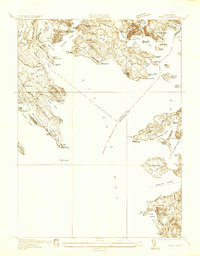 1936 Onset1936 Print · USGSCoastal Massachusetts at the height of the mid-thirties reveals a landscape of summer resorts and maritime life along Buzzards Bay. Genealogists and historians can trace old settlements like Onset or locate landmarks like Wings Neck Lighthouse and the Beverly Yacht Club.
 - 1936 Map of Marion
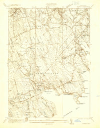 1936 Marion1936 Print · USGSBuzzards Bay coastal life and the cranberry industry are captured here in the mid-1930s. Genealogists and historians can trace family plots at Hammond Cem and explore landmarks like Marion Station or the Neds Point Light.
 - 1938 Map of Snipatuit Pond
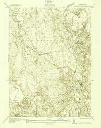 1938 Snipatuit Pond1938 Print · USGSCoastal Massachusetts at the edge of the 1940s reveals a landscape of cranberry bogs and rail-side hamlets. Genealogists can trace family footprints near Rock Station, the Union Meeting House, and local schools like Stewart Sch.
 - 1941 Map of Marion
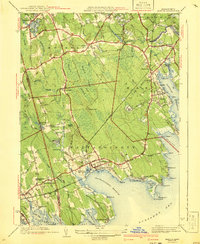 1941 Marion1941 Print · USGSThe Buzzards Bay coastline flourished in the late 1930s with a blend of maritime education, rail commerce, and seaside recreation. Genealogists and historians can trace family burial sites at Barlow Cem, locate the landmark Tabor Academy, and follow the New York New Haven and Hartford railroad.3 unique versions available
 - 1941 Map of Onset
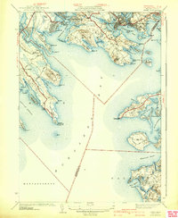 1941 Onset1941 Print · USGSCoastal Massachusetts at the start of the 1940s reveals a landscape of maritime recreation and local industry. Genealogists and historians can trace the development of Onset and East Marion, or locate landmarks like the Wings Neck Lighthouse and Agawam Cem.4 unique versions available
 - 1942 Map of Snipatuit Pond
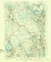 1942 Snipatuit Pond1942 Print · USGSPlymouth County’s landscape of cranberry bogs and rail corridors comes alive in this early 1940s survey. Genealogists and historians can trace family-named locales like Bisbee Corner, locate Union Ch, and follow the New York New Haven and Hartford line through South Wareham.3 unique versions available
 - 1942 Map of New Bedford
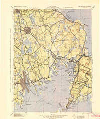 1942 New Bedford1942 Print · USGSSoutheastern Massachusetts at the start of the 1940s shows a region defined by maritime defense and industrial rail corridors. Genealogists and historians can trace the massive Camp Edwards boundary, old rail stops like Rock Station, and vanished local industry at Paper Mill Village.2 unique versions available
 - 1943 Map of Marion, 1957 Print
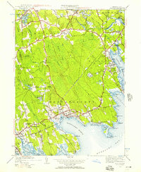 1943 Marion1957 Print · USGSThe Buzzards Bay shoreline in the early 1940s reveals a landscape of harbor villages and coastal rail commerce. Genealogists and historians can trace local family landmarks and institutions like Tabor Academy, the Sturtevant Mill, and Old Landing Cem.
 - 1947 Map of Providence, 1948 Print
 1947 Providence1948 Print · USGSSouthern New England is captured in the mid-1940s, showing a landscape defined by busy industrial ports and expanding military installations. Researchers can trace the rail lines of the N.Y. N.H. & H. RR or locate coastal defenses like Fort Adams and Quonset Point.5 unique versions available
 - 1948 Map of Providence, 1951 Print
 1948 Providence1951 Print · USGSSouthern New England’s coastal reaches are captured here in the late 1940s, from the industrial heart of Providence to the tip of Provincetown. Genealogists and historians can trace rail lines like the Central Vermont Railway and locate active military sites such as Otis Air Force Base and Fort Rodman.
 - 1949 Map of Snipatuit Pond, 1958 Print
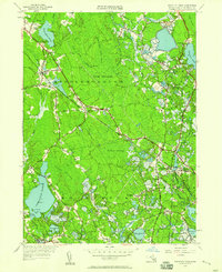 1949 Snipatuit Pond1958 Print · USGSSoutheastern Massachusetts at mid-century reveals a landscape of cranberry bogs and rural villages along the rail lines. Genealogists and historians can trace the foundations of South Middleboro, Tremont, and the Pierceville Sch amidst the swamps and ponds.2 unique versions available
Showing maps 1-25 of 53
Top cities near Marion
- New Bedford historical maps
- Plymouth historical maps
- Dartmouth historical maps
- Falmouth historical maps
- Wareham historical maps
- Sandwich historical maps
See more
Top neighborhoods of Marion
Frequently asked questions
- What are the different types of historical maps available for Marion?
- What is the oldest map of Marion?
- Where can I purchase historical maps of Marion for my home or office?
- Where can I download high-res historical maps of Marion?
- Are there historical topographic maps available for Marion?
- Is there historical aerial imagery available for Marion?
- Where are historical maps of Marion sourced from?