2000s (21st Century) Maps of Mattapoisett, Massachusetts
Explore 21 historic maps of Mattapoisett from the 2000s (21st Century). These maps offer a rare glimpse into what life looked like during the 2000s — showing old roads, neighborhoods, homes, and landmarks that have changed or disappeared over time.
Whether you're researching your family's past, planning a metal detecting trip, or studying how Mattapoisett's landscape evolved across the 2000s, these high-resolution maps are a powerful tool for exploring the history of this region.
- Focus on a specific era: All maps on this page are from the 2000s, giving you a focused view of this time period.
- See what’s changed: Compare century-old streets, trails, and buildings to today's modern landscape using overlays and satellite layers.
- Research with precision: Use these maps for genealogy, historical research, land use analysis, or educational projects.
- View, download, or print: Maps are fully viewable online in high resolution, and can be downloaded or printed for your own records.
Start exploring Mattapoisett's history through authentic maps from the 2000s. This is your window into the past.
Mattapoisett, MA maps
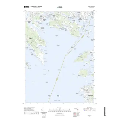
(21)- 2012 Map of Marion, 2012 Print
 2012 Marion2012 Print · USGSCovers Mattapoisett, including Wareham, Fairhaven, and other nearby areas
 - 2012 Map of Onset, 2012 Print
 2012 Onset2012 Print · USGSCovers Mattapoisett, including Falmouth, Wareham, and other nearby areas
 - 2012 Map of Woods Hole, 2012 Print
 2012 Woods Hole2012 Print · USGSCovers Mattapoisett, including Falmouth, Woods Hole, and other nearby areas
 - 2012 Map of Sconticut Neck, 2012 Print
 2012 Sconticut Neck2012 Print · USGSCovers Mattapoisett, including Falmouth, Fairhaven, and other nearby areas
 - 2015 Map of Woods Hole, 2015 Print
 2015 Woods Hole2015 Print · USGSCovers Mattapoisett, including Falmouth, Woods Hole, and other nearby areas
 - 2015 Map of Marion, 2015 Print
 2015 Marion2015 Print · USGSCovers Mattapoisett, including Wareham, Fairhaven, and other nearby areas
 - 2015 Map of Onset, 2015 Print
 2015 Onset2015 Print · USGSCovers Mattapoisett, including Falmouth, Wareham, and other nearby areas
 - 2015 Map of Sconticut Neck, 2015 Print
 2015 Sconticut Neck2015 Print · USGSCovers Mattapoisett, including Falmouth, Fairhaven, and other nearby areas
 - 2018 Map of Onset, 2018 Print
 2018 Onset2018 Print · USGSCovers Mattapoisett, including Falmouth, Wareham, and other nearby areas
 - 2018 Map of Sconticut Neck, 2018 Print
 2018 Sconticut Neck2018 Print · USGSCovers Mattapoisett, including Falmouth, Fairhaven, and other nearby areas
 - 2018 Map of Woods Hole, 2018 Print
 2018 Woods Hole2018 Print · USGSCovers Mattapoisett, including Falmouth, Woods Hole, and other nearby areas
 - 2018 Map of Marion, 2018 Print
 2018 Marion2018 Print · USGSCovers Mattapoisett, including Wareham, Fairhaven, and other nearby areas
 - 2021 Map of Marion, 2021 Print
 2021 Marion2021 Print · USGSCovers Mattapoisett, including Wareham, Fairhaven, and other nearby areas
 - 2021 Map of Sconticut Neck, 2021 Print
 2021 Sconticut Neck2021 Print · USGSCovers Mattapoisett, including Falmouth, Fairhaven, and other nearby areas
 - 2021 Map of Onset, 2021 Print
 2021 Onset2021 Print · USGSCovers Mattapoisett, including Falmouth, Wareham, and other nearby areas
 - 2021 Map of Woods Hole, 2021 Print
 2021 Woods Hole2021 Print · USGSCovers Mattapoisett, including Falmouth, Woods Hole, and other nearby areas
 - 2023 Map of Onset, 2023 Print
 2023 Onset2023 Print · USGSCovers Mattapoisett, including Falmouth, Wareham, and other nearby areas
 - 2024 Map of Sconticut Neck, 2024 Print
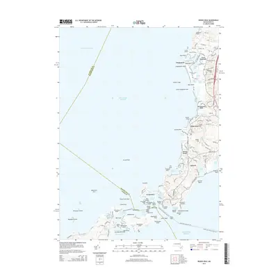
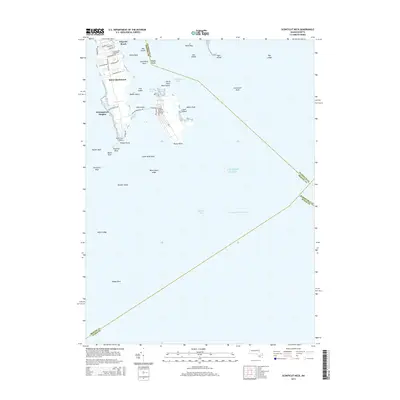
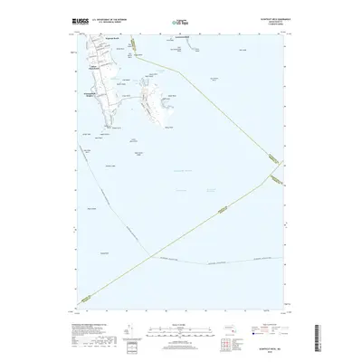
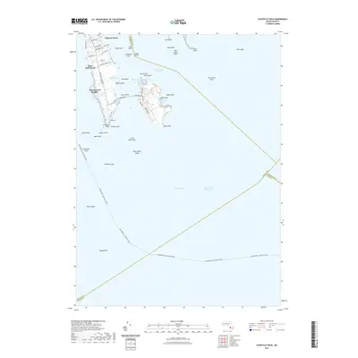
 2024 Sconticut Neck2024 Print · USGSBristol County’s coastal character is on full display in this survey of the Buzzards Bay shoreline. Researchers can trace land use from the Delano Cem at Wilbur Point to the residential streets of Winsegansett Heights.
 - 2024 Map of Onset, 2024 Print
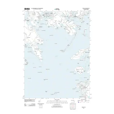
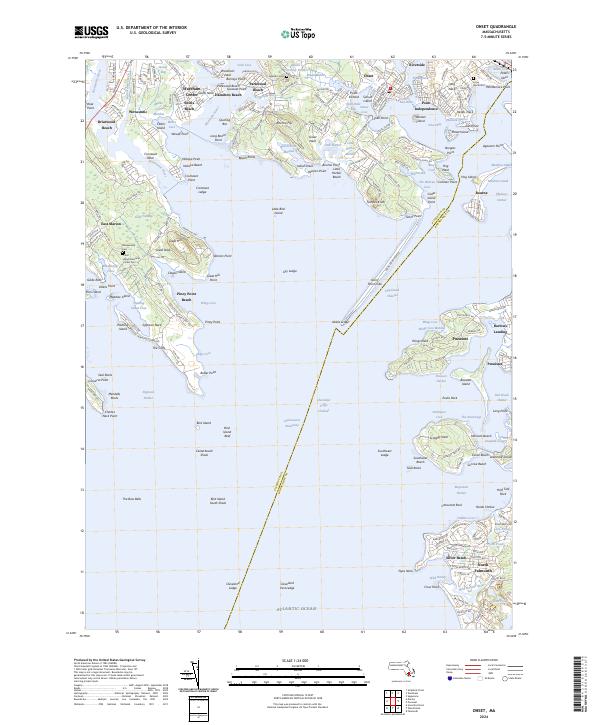 2024 Onset2024 Print · USGSCoastal life and maritime heritage meet in the villages surrounding Onset Bay in the twenty-first century. Genealogists and local historians can trace family roots through Agawam Cem, the Road Memorial, and old settlements like Barlows Landing and Pocasset.
 - 2024 Map of Marion, 2024 Print
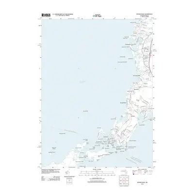
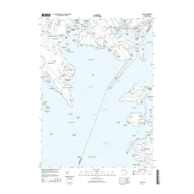
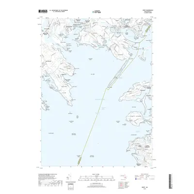
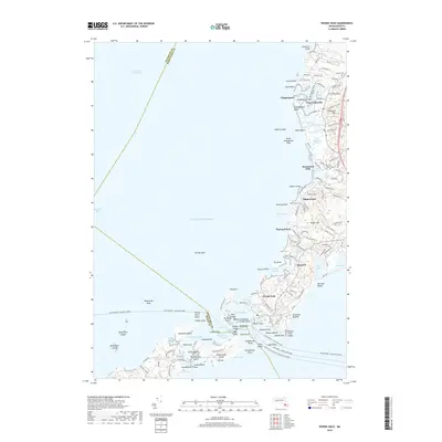
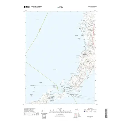
 2024 Marion2024 Print · USGSOn the shores of Buzzards Bay, this contemporary survey captures the coastal communities of Marion and Mattapoisett. Researchers can trace family history through sites like Old Landing Cem, the Alms House, and the village of Tinkhamtown.
 - 2024 Map of Woods Hole, 2024 Print
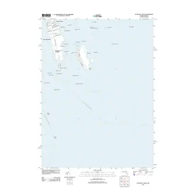
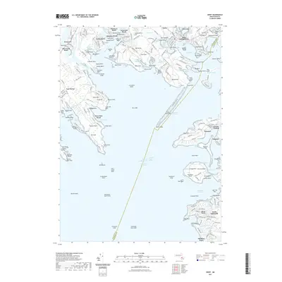
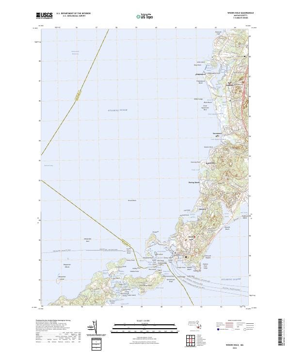 2024 Woods Hole2024 Print · USGSCoastal Massachusetts near the start of the twenty-first century reveals a landscape defined by maritime research and ferry travel. Genealogists and historians can trace routes like the Oak Bluffs - Woods Hole Ferry or locate the Woods Hole Village Cem and Crowell Cem.
End of results
Showing maps 1-21 of 21
Top cities near Mattapoisett
- New Bedford historical maps
- Fall River historical maps
- Plymouth historical maps
- Taunton historical maps
- Dartmouth historical maps
- Falmouth historical maps
See more
Top neighborhoods of Mattapoisett
- Cannonville historical maps
- Crescent Beach historical maps
- Harbor Beach historical maps
- Holly Woods historical maps
- Tinkhamtown historical maps
- Alms House historical maps
See more
Frequently asked questions
- What are the different types of historical maps available for Mattapoisett?
- What is the oldest map of Mattapoisett?
- Where can I purchase historical maps of Mattapoisett for my home or office?
- Where can I download high-res historical maps of Mattapoisett?
- Are there historical topographic maps available for Mattapoisett?
- Is there historical aerial imagery available for Mattapoisett?
- Where are historical maps of Mattapoisett sourced from?