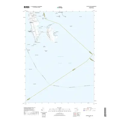
2018 Map of Sconticut Neck
USGS Topo · Published 2018About this map
Sconticut Neck extends into the waters of Buzzards Bay and the Atlantic Ocean, defining a coastal landscape shaped by its maritime position. The residential enclaves of Winsegansett Heights, Silver Shell Beach, and Wigwam Beach are concentrated along the western shore, while the eastern edge is dominated by the Sconticut Neck Marshes. Adjacent to the neck, West Island provides further detail of this coastal community with streets like Dogwood St and Cottonwood St serving local properties near the West Island Marshes.
Find a feature on this map
62 named features on this map. Tap any name to fly to it.
Don’t see what you’re looking for? This feature index may not catch every label — zoom into the map to look around manually.
Map Details
Editions of this 2018 Sconticut Neck Map
This is the sole edition of this map. No revisions or reprints were ever made.
Other maps of this area

1885 · New Bedford
USGS Topo · 1:62,500

1886 · Falmouth
USGS Topo · 1:62,500

1887 · Gay Head
USGS Topo · 1:62,500

1888 · New Bedford
USGS Topo · 1:62,500

1888 · Falmouth
USGS Topo · 1:62,500

1889 · Gay Head
USGS Topo · 1:62,500

1893 · Gay Head
USGS Topo · 1:62,500

1893 · Falmouth
USGS Topo · 1:62,500

1893 · New Bedford
USGS Topo · 1:62,500

1915 · Falmouth
USGS Topo · 1:62,500