
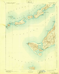
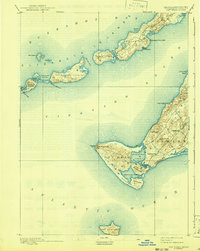
1893 Map of Gay Head
USGS Topo · Published 1893About this map
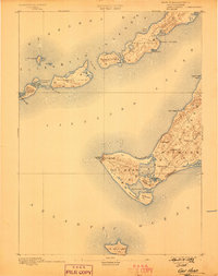
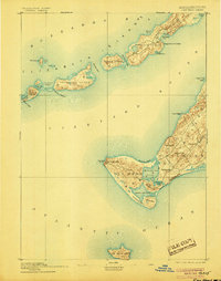
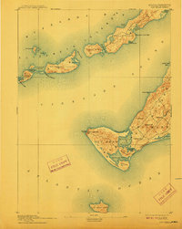
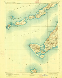
Marthas Vineyard and the chain of the Elizabeth Islands define this maritime landscape at the end of the nineteenth century. The western reaches of the islands are anchored by the fishing community of Chilmark and the prominent Gay Head Cliffs, where the Gay Head Light serves as a vital navigational aid for vessels transitioning between Vineyard Sound and the open Atlantic Ocean. The map reveals a coast dominated by Great Ponds and salt marshes, including Menemsha Pond and Squibnocket Pond, which were central to the local economy and geography before modern development.
Find a feature on this map
45 named features on this map. Tap any name to fly to it.
Don’t see what you’re looking for? This feature index may not catch every label — zoom into the map to look around manually.
Map Details
Editions of this 1893 Gay Head Map
7 editions found
Other maps of this area

1885 · New Bedford
USGS Topo · 1:62,500

1886 · Falmouth
USGS Topo · 1:62,500

1887 · Gay Head
USGS Topo · 1:62,500

1887 · Marthas Vineyard
USGS Topo · 1:62,500

1888 · New Bedford
USGS Topo · 1:62,500

1888 · Falmouth
USGS Topo · 1:62,500

1889 · Gay Head
USGS Topo · 1:62,500

1889 · Marthas Vineyard
USGS Topo · 1:62,500

1893 · Falmouth
USGS Topo · 1:62,500

1893 · New Bedford
USGS Topo · 1:62,500