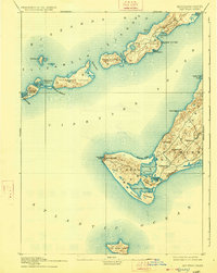
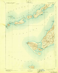
1893 Map of Gay Head
USGS Topo · Published 1926About this map
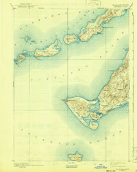
Gay Head Cliffs and the western reaches of Marthas Vineyard anchor this coastal survey, showing a landscape defined by saltwater ponds and glacial terminal moraines. The settlement at Chilmark and the smaller outpost at Squibnocket are connected by winding roads that skirt Chilmark Pond and Nashaquitsa Pond. Coastal navigation was critical during this era, evidenced by the presence of Gay Head Light, Tarpaulin Cove Light, and Cuttyhunk Light. Across Vineyard Sound, the Elizabeth Islands stretch toward Buzzards Bay, including Naushon Island and Cuttyhunk Island. The map records the intricate shoreline of the era, from the secluded French Watering Place to the treacherous passages of Robinsons Hole and Quicks Hole. Further south, the isolated island of No Mans Land sits alone in the Atlantic Ocean, completing this picture of the Massachusetts maritime frontier.
Find a feature on this map
44 named features on this map. Tap any name to fly to it.
Don’t see what you’re looking for? This feature index may not catch every label — zoom into the map to look around manually.
Map Details
Editions of this 1893 Gay Head Map
7 editions found
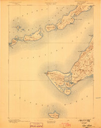
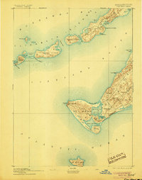
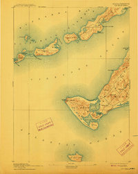
Other maps of this area

1885 · New Bedford
USGS Topo · 1:62,500

1886 · Falmouth
USGS Topo · 1:62,500

1887 · Gay Head
USGS Topo · 1:62,500

1887 · Marthas Vineyard
USGS Topo · 1:62,500

1888 · New Bedford
USGS Topo · 1:62,500

1888 · Falmouth
USGS Topo · 1:62,500

1889 · Gay Head
USGS Topo · 1:62,500

1889 · Marthas Vineyard
USGS Topo · 1:62,500

1893 · Gay Head
USGS Topo · 1:62,500

1893 · Falmouth
USGS Topo · 1:62,500