Old Maps of Laketown Township, Michigan for Metal Detecting
Plan your next treasure hunt with 19 historic maps of Laketown Township. Find old homesites, ghost towns, trails, and gathering spots that may be lost to time — perfect for identifying promising metal detecting locations.
- Locate forgotten sites: Uncover places like long-lost settlements, abandoned rail lines, or gathering spots.
- Plan better hunts: Use map overlays combined with LiDAR or satellite views to narrow in on historically rich areas.
- Made for detectorists: Thousands of hobbyists use these maps to discover relics, coins, and hidden history.
Use these historic maps to boost your research and find new opportunities beneath the surface of Laketown Township.
Laketown Township, MI maps
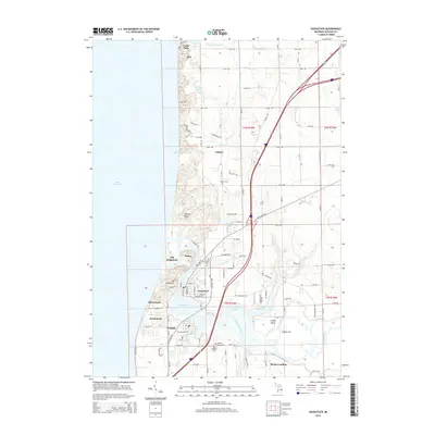
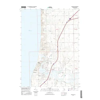
(19)- 1928 Map of Fennville, 1955 Print
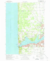
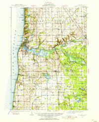 1928 Fennville1955 Print · USGSThe Lake Michigan shoreline and Kalamazoo River delta are captured here in the late 1920s during a peak era of coastal resort development and inland farming. Researchers can locate numerous one-room schoolhouses like Peach Belt Sch and trace the original Pere Marquette rail line through Fennville and New Richmond.4 unique versions available
 - 1929 Map of Holland, 1959 Print
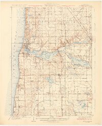
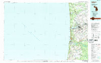
 1929 Holland1959 Print · USGSThe Lake Michigan shoreline and the city of Holland appear here as they were in the late 1920s. Local researchers can trace the historic lakefront developments and rural landmarks including Getz Lakewood Farm, the Waukantanka Lodge, and the Pere Marquette rail lines.2 unique versions available
 - 1931 Map of Fennville
 1931 Fennville1931 Print · USGSCoastal Allegan County was a thriving hub of lakefront tourism and rail-based agriculture in the years before the Great Depression. Genealogists and historians can trace family-named schools like Reid Sch and Loomis Sch, or find the Old Saugatuck Light Ho near the river's bend.4 unique versions available
 - 1932 Map of Holland
 1932 Holland1932 Print · USGSThe Lake Michigan shoreline and the growing city of Holland are captured here in the early 1930s. Trace the lakefront resorts and rural schoolhouses that once dotted the landscape, from Getz Lakewood Farm to the Harderwyk Sch and Noordeloos.2 unique versions available
 - 1958 Map of Racine, 1971 Print
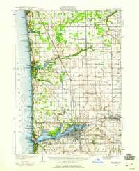
 1958 Racine1971 Print · USGSThe Lake Michigan shoreline in the late fifties was a study in contrasts between the industrial bustle of Kenosha and the quiet woods of the Allegan State Forest. Genealogists and historians can trace the urban footprint of Evanston or locate strategic sites like Fort Sheridan and the Wind Point Light.3 unique versions available
 - 1962 Map of Racine
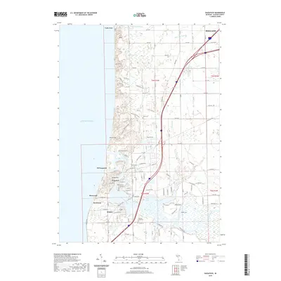
 1962 Racine1962 Print · USGSThe Lake Michigan shoreline in the early sixties reveals a fascinating contrast between the dense industrial rail hubs of RACINE and CHICAGO and the forested dunes of Michigan. Local historians can trace military installations like Fort Sheridan or explore the numerous inland retreats around Paw Paw Lake and Sister Lakes.
 - 1972 Map of Holland West, 1975 Print
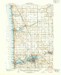
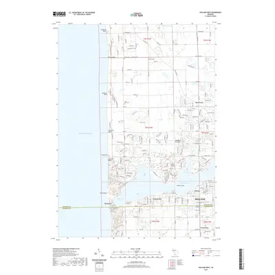
 1972 Holland West1975 Print · USGSCoastal Michigan in the early seventies shows the bustling harbor at Lake Macatawa alongside quiet inland settlements. Genealogists and local historians can locate Graafschap Cem, the Park Township Airport, and old landmarks in New Holland.
 - 1981 Map of Saugatuck, 1982 Print
 1981 Saugatuck1982 Print · USGSThe Lake Michigan shoreline and the Kalamazoo River harbor are captured in the early eighties, showcasing the transition from industrial roots to a coastal community. Trace the history of the region through the site of Singapore, the heights of Mt Baldhead, and landmarks like the Old Saugatuck Light House.2 unique versions available
 - 1982 Map of Holland
 1982 Holland1982 Print · USGSThe Lake Michigan coast in the early eighties shows a refined network of Dutch-influenced settlements and lakeside retreats. Trace the rail lines of the Chesapeake and Ohio or find family landmarks near Noordeloos and New Richmond.
 - 2011 Map of Holland West, 2011 Print
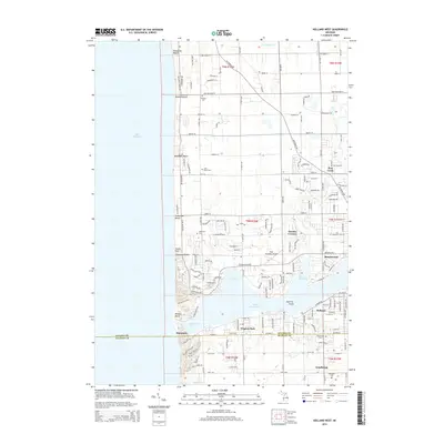
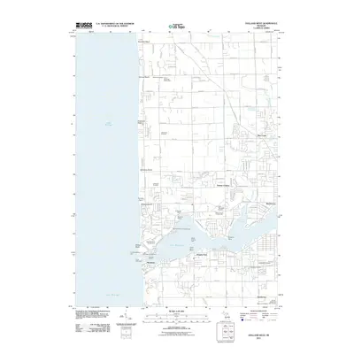 2011 Holland West2011 Print · USGSCovers Laketown Township, including Holland, Virginia Park, and other nearby areas
 - 2011 Map of Saugatuck, 2011 Print
 2011 Saugatuck2011 Print · USGSCovers Laketown Township, including Holland, Douglas, and other nearby areas
 - 2014 Map of Saugatuck, 2014 Print
 2014 Saugatuck2014 Print · USGSCovers Laketown Township, including Holland, Douglas, and other nearby areas
 - 2014 Map of Holland West, 2014 Print
 2014 Holland West2014 Print · USGSCovers Laketown Township, including Holland, Virginia Park, and other nearby areas
 - 2017 Map of Holland West, 2017 Print
 2017 Holland West2017 Print · USGSCovers Laketown Township, including Holland, Virginia Park, and other nearby areas
 - 2017 Map of Saugatuck, 2017 Print
 2017 Saugatuck2017 Print · USGSCovers Laketown Township, including Holland, Douglas, and other nearby areas
 - 2019 Map of Holland West, 2019 Print
 2019 Holland West2019 Print · USGSCovers Laketown Township, including Holland, Virginia Park, and other nearby areas
 - 2019 Map of Saugatuck, 2019 Print
 2019 Saugatuck2019 Print · USGSCovers Laketown Township, including Holland, Douglas, and other nearby areas
 - 2023 Map of Holland West, 2023 Print
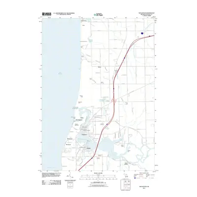
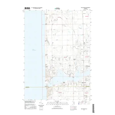
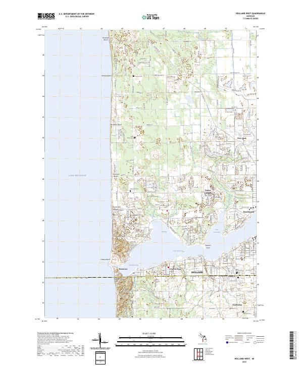 2023 Holland West2023 Print · USGSThe Lake Michigan shoreline of Ottawa County comes into focus in this modern era, showing the dense development around Macatawa. Trace local history through landmarks like Graafschap Cem, Ottawa Beach, and the vanished lines of Tasmas Corners.
 - 2023 Map of Saugatuck, 2023 Print
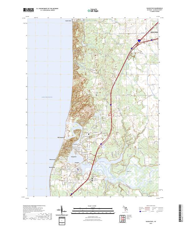 2023 Saugatuck2023 Print · USGSThe Lake Michigan shoreline at Saugatuck and Douglas appears here in its modern coastal configuration. Researchers can trace the layout of Old Saugatuck, locate local resting places like Riverside Cem, and follow the banks of the Kalamazoo River.
End of results
Showing maps 1-19 of 19
Top cities near Laketown Township
- Holland historical maps
- Zeeland historical maps
- Port Sheldon historical maps
- Overisel historical maps
- Fillmore historical maps
- Ganges historical maps
See more
Top neighborhoods of Laketown Township
Frequently asked questions
- What are the different types of historical maps available for Laketown Township?
- What is the oldest map of Laketown Township?
- Where can I purchase historical maps of Laketown Township for my home or office?
- Where can I download high-res historical maps of Laketown Township?
- Are there historical topographic maps available for Laketown Township?
- Is there historical aerial imagery available for Laketown Township?
- Where are historical maps of Laketown Township sourced from?