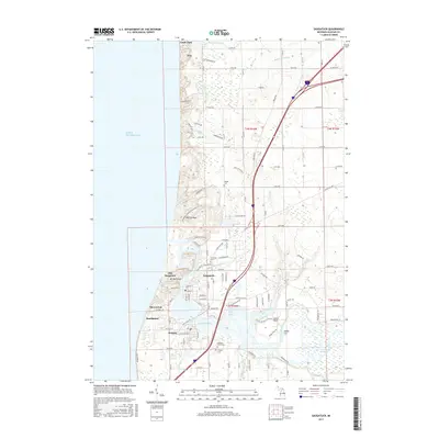
2017 Map of Saugatuck
USGS Topo · Published 2017About this map
The Kalamazoo River meets Lake Michigan in this detailed survey of the western Michigan coastline. The twin communities of Saugatuck and Douglas are central to the map, showing the dense street grids and the bridge crossing near Tyler Bayou. Historical continuity is evident in the multiple burial grounds, including Riverside Cem and Douglas Cem, which serve as valuable landmarks for local researchers.
Find a feature on this map
89 named features on this map. Tap any name to fly to it.
Don’t see what you’re looking for? This feature index may not catch every label — zoom into the map to look around manually.
Map Details
Editions of this 2017 Saugatuck Map
This is the sole edition of this map. No revisions or reprints were ever made.
Other maps of this area
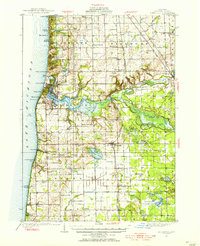
1928 · Fennville
USGS Topo · 1:62,500
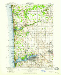
1929 · Holland
USGS Topo · 1:62,500
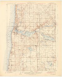
1931 · Fennville
USGS Topo · 1:62,500
1932 · Holland
USGS Topo · 1:62,500
1958 · Racine
USGS Topo · 1:250,000
1962 · Racine
USGS Topo · 1:250,000
1972 · Holland East
USGS Topo · 1:24,000
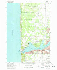
1972 · Holland West
USGS Topo · 1:24,000
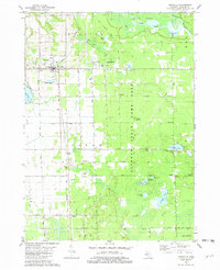
1981 · Fennville
USGS Topo · 1:24,000
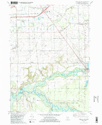
1981 · Hamilton West
USGS Topo · 1:24,000