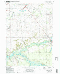
1981 Map of Hamilton West
USGS Topo · Published 1982About this map
Kalamazoo River bottomlands and the rolling agricultural terrain of northern Allegan County dominate this 1981 survey. The landscape is defined by the sharp contrast between the expansive Allegan State Game Area to the south and the meticulously partitioned sections of Fillmore and Overisel townships. The Chesapeake and Ohio railroad corridor provides a north-south spine for the region, connecting small hubs like Hamilton and East Saugatuck. The prevalence of family-named cemeteries, including the Old Overisel Cem and New Overisel Cem, reflects the deep Dutch-American heritage of this farming community. Waterways like the Rabbit River and Macatawa River wind through the township grids, while the industrial and transport infrastructure near the Tulip City Airport and the New Richmond river crossing indicates the region's evolving economy at the start of the 1980s.
Find a feature on this map
60 named features on this map. Tap any name to fly to it.
Don’t see what you’re looking for? This feature index may not catch every label — zoom into the map to look around manually.
Map Details
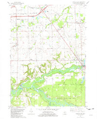
Editions of this 1981 Hamilton West Map
2 editions found
Other maps of this area

1928 · Fennville
USGS Topo · 1:62,500

1929 · Holland
USGS Topo · 1:62,500

1931 · Fennville
USGS Topo · 1:62,500

1932 · Holland
USGS Topo · 1:62,500

1958 · Allegan
USGS Topo · 1:62,500

1958 · Grandville
USGS Topo · 1:62,500

1958 · Racine
USGS Topo · 1:250,000

1958 · Grand Rapids
USGS Topo · 1:250,000

1961 · Grand Rapids
USGS Topo · 1:250,000

1962 · Grand Rapids
USGS Topo · 1:250,000