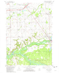
1981 Map of Hamilton West
USGS Topo · Published 1982About this map
The Kalamazoo River and the Rabbit River converge in the southern reaches of this landscape, defining the transition from the grid-iron agricultural fields of the north to the wetlands and forests of the Allegan State Game Area. In the late 1970s, this region of Allegan County remained deeply tied to its small-town roots and transport corridors, with the Chesapeake and Ohio railroad cutting a diagonal line through the townships of Fillmore and Heath.
Find a feature on this map
53 named features on this map. Tap any name to fly to it.
Don’t see what you’re looking for? This feature index may not catch every label — zoom into the map to look around manually.
Map Details
Editions of this 1981 Hamilton West Map
2 editions found
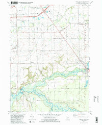
Other maps of this area

1928 · Fennville
USGS Topo · 1:62,500

1929 · Holland
USGS Topo · 1:62,500

1931 · Fennville
USGS Topo · 1:62,500

1932 · Holland
USGS Topo · 1:62,500

1958 · Allegan
USGS Topo · 1:62,500

1958 · Grandville
USGS Topo · 1:62,500

1958 · Racine
USGS Topo · 1:250,000

1958 · Grand Rapids
USGS Topo · 1:250,000

1961 · Grand Rapids
USGS Topo · 1:250,000

1962 · Grand Rapids
USGS Topo · 1:250,000