Old Maps of Allegan County, Michigan
Explore 54 old maps of Allegan County, spanning from 1914 to today. These high-resolution historic maps reveal how streets, neighborhoods, landmarks, and natural features evolved over time — perfect for genealogy, metal detecting, research, and local history exploration.
What you can do with these maps:
- See how Allegan County changed over time: Compare historical maps to modern-day views to trace roads, homesites, rail lines & more.
- View detailed metadata: Each map includes creators, publishers, year, scale, and archive source.
- Overlay maps with satellite & LiDAR: Visualize the past alongside modern tools to explore terrain & human change.
- Trusted historical sources: Maps sourced from the USGS, Library of Congress, and other archives.
- Access maps your way: View online, download high-res files, or order prints for personal or research use.
Start exploring old maps of Allegan County to uncover forgotten places, hidden landmarks, and the deep history beneath your feet.
Allegan County, MI maps
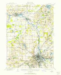
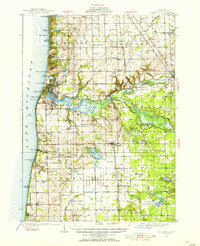
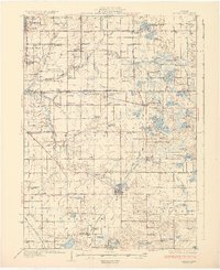
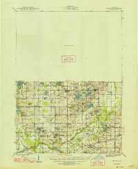
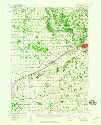
(54)- 1914 Map of Grand Rapids
 1914 Grand Rapids1914 Print · USGSCovers Allegan County, including Grand Rapids, Wyoming, and other nearby areas5 unique versions available
 - 1916 Map of Kalamazoo, 1956 Print
 1916 Kalamazoo1956 Print · USGSCovers Allegan County, including Kalamazoo, Alamo, and other nearby areas3 unique versions available
 - 1918 Map of Kalamazoo
 1918 Kalamazoo1918 Print · USGSCovers Allegan County, including Kalamazoo, Alamo, and other nearby areas4 unique versions available
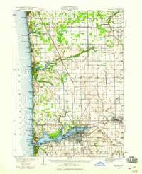
 - 1927 Map of Bangor, 1959 Print
 1927 Bangor1959 Print · USGSCovers Allegan County, including South Haven, Lee, and other nearby areas2 unique versions available
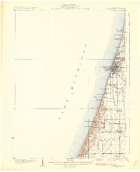
 - 1927 Map of South Haven, 1972 Print
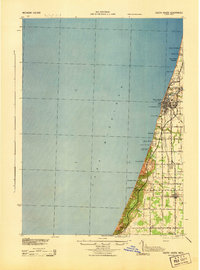
 1927 South Haven1972 Print · USGSCovers Allegan County, including South Haven, Covert, and other nearby areas
 - 1928 Map of Fennville, 1955 Print
 1928 Fennville1955 Print · USGSCovers Allegan County, including Holland, Overisel, and other nearby areas4 unique versions available
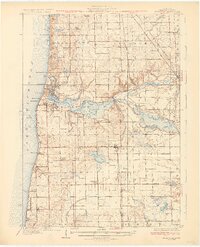
 - 1929 Map of Holland, 1959 Print
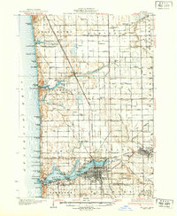
 1929 Holland1959 Print · USGSCovers Allegan County, including Holland, Zeeland, and other nearby areas2 unique versions available
 - 1930 Map of South Haven
 1930 South Haven1930 Print · USGSCovers Allegan County, including South Haven, Covert, and other nearby areas4 unique versions available
 - 1931 Map of Fennville
 1931 Fennville1931 Print · USGSCovers Allegan County, including Holland, Overisel, and other nearby areas4 unique versions available
 - 1931 Map of Bangor
 1931 Bangor1931 Print · USGSCovers Allegan County, including South Haven, Lee, and other nearby areas3 unique versions available
 - 1932 Map of Holland
 1932 Holland1932 Print · USGSCovers Allegan County, including Holland, Zeeland, and other nearby areas2 unique versions available
 - 1943 Map of Kalamazoo
 1943 Kalamazoo1943 Print · USGSCovers Allegan County, including Kalamazoo, Alamo, and other nearby areas
 - 1943 Map of South Haven
 1943 South Haven1943 Print · USGSCovers Allegan County, including South Haven, Covert, and other nearby areas
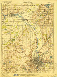
 - 1943 Map of Grand Rapids
 1943 Grand Rapids1943 Print · USGSCovers Allegan County, including Grand Rapids, Wyoming, and other nearby areas
 - 1943 Map of Bangor
 1943 Bangor1943 Print · USGSCovers Allegan County, including South Haven, Lee, and other nearby areas
 - 1946 Map of Gobles, 1948 Print
 1946 Gobles1948 Print · USGSCovers Allegan County, including Almena, Pine Grove, and other nearby areas
 - 1948 Map of Gobles
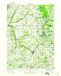
 1948 Gobles1948 Print · USGSCovers Allegan County, including Almena, Pine Grove, and other nearby areas3 unique versions available
 - 1949 Map of Gobles
 1949 Gobles1949 Print · USGSCovers Allegan County, including Almena, Pine Grove, and other nearby areas2 unique versions available
 - 1958 Map of Allegan, 1959 Print
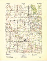
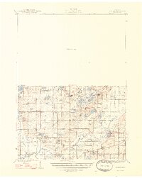
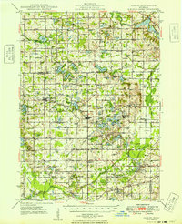
 1958 Allegan1959 Print · USGSCovers Allegan County, including Allegan, Watson, and other nearby areas2 unique versions available
 - 1958 Map of Grandville, 1959 Print
 1958 Grandville1959 Print · USGSCovers Allegan County, including Grand Rapids, Wyoming, and other nearby areas2 unique versions available
 - 1958 Map of Racine, 1971 Print
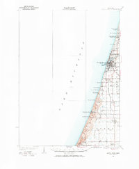
 1958 Racine1971 Print · USGSCovers Allegan County, including Chicago, Milwaukee, and other nearby areas3 unique versions available
 - 1958 Map of Grand Rapids, 1973 Print
 1958 Grand Rapids1973 Print · USGSCovers Allegan County, including Grand Rapids, Lansing, and other nearby areas2 unique versions available
 - 1959 Map of Wayland
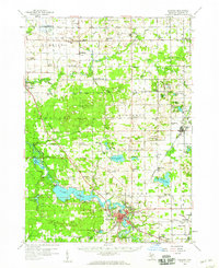
 1959 Wayland1959 Print · USGSCovers Allegan County, including Dorr, Wayland, and other nearby areas2 unique versions available
 - 1961 Map of Grand Rapids
 1961 Grand Rapids1961 Print · USGSCovers Allegan County, including Grand Rapids, Lansing, and other nearby areas
 - 1962 Map of Grand Rapids
 1962 Grand Rapids1962 Print · USGSCovers Allegan County, including Grand Rapids, Lansing, and other nearby areas2 unique versions available
Showing maps 1-25 of 54
Top cities of Allegan County
- Allegan historical maps
- Plainwell historical maps
- Wayland historical maps
- Otsego historical maps
- Watson historical maps
- Fennville historical maps
See more
Frequently asked questions
- What are the different types of historical maps available for Allegan County?
- What is the oldest map of Allegan County?
- Where can I purchase historical maps of Allegan County for my home or office?
- Where can I download high-res historical maps of Allegan County?
- Are there historical topographic maps available for Allegan County?
- Is there historical aerial imagery available for Allegan County?
- Where are historical maps of Allegan County sourced from?