Old Maps of Trowbridge Township, Michigan for Academic Research
Study the evolution of Trowbridge Township with 33 high-resolution historic maps. Whether you're teaching, researching, or modeling changes in land use, these maps provide essential visual documentation of urban, environmental, and geographic change.
- Analyze long-term change: Track patterns in development, transportation, and natural features.
- Ideal for environmental or urban studies: Support academic projects with primary historical map data.
- Use in the classroom or lab: Educators and researchers rely on these maps to bring historical context to life.
These maps are a powerful tool for teaching, research, and visualizing how Trowbridge Township has changed over the decades.
Trowbridge Township, MI maps
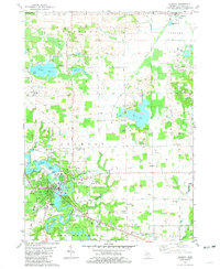
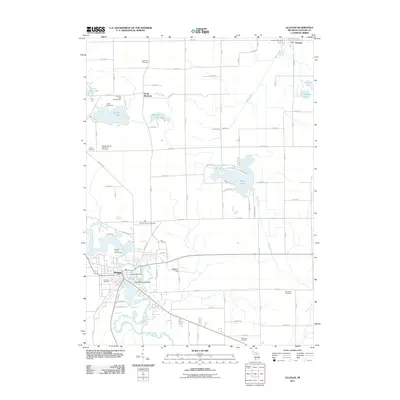
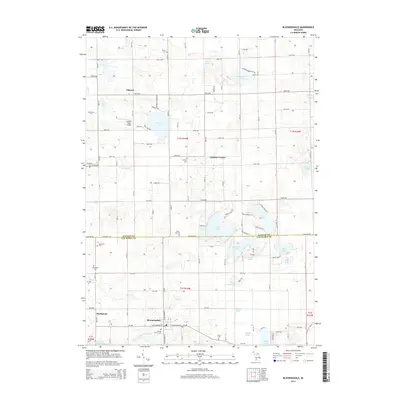
(33)- 1946 Map of Gobles, 1948 Print
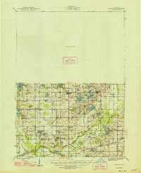 1946 Gobles1948 Print · USGSVan Buren County was a landscape of small school districts and lakeside camps just after the war. You can trace the New York Central rail line through Kendall, locate the Wolf Lake Fish Hatchery, and find family roots at the Robinson Cem.
 - 1948 Map of Gobles
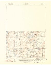 1948 Gobles1948 Print · USGSVan Buren County was a landscape of small farmsteads and scattered schoolhouses just after the war. Family historians can locate rural landmarks like Robinson Cem, the Wolf Lake Fish Hatchery, and dozens of local schools including Evergreen Sch and Almena Sch.3 unique versions available
 - 1949 Map of Gobles
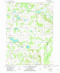
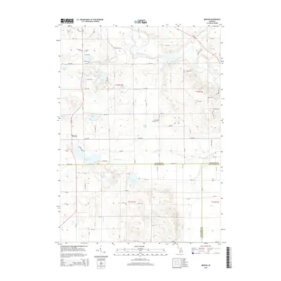
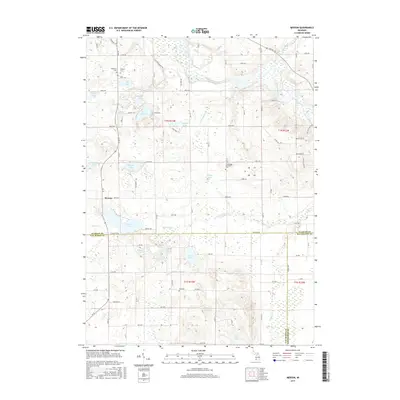
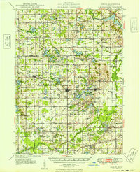 1949 Gobles1949 Print · USGSVan Buren and Allegan counties appear here at the end of the 1940s, a landscape defined by small-town rail stops and a dense network of country schools. Researchers can trace family sites near Robinson Cem, explore the old New York Central line through Berlamont, or locate the Wolf Lake Fish Hatchery.2 unique versions available
 - 1958 Map of Allegan, 1959 Print
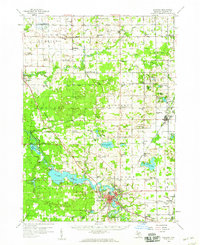 1958 Allegan1959 Print · USGSAllegan and the surrounding Michigan countryside are captured here in the late fifties, showcasing a landscape of river-fed industry and deep-wooded preserves. Genealogists can trace family roots through dozens of local landmarks like Maple Grove Sch, the Indian Mission, and the Oversel Cem.2 unique versions available
 - 1958 Map of Grand Rapids, 1973 Print
 1958 Grand Rapids1973 Print · USGSSouthern Michigan at the peak of the postwar era shows a landscape of burgeoning cities and new interstate highways. Trace family roots and regional growth in Grand Rapids, Battle Creek, and the glacial lake country around Gun Lake or Gull Lake.2 unique versions available
 - 1961 Map of Grand Rapids
 1961 Grand Rapids1961 Print · USGSSouthern Michigan at the dawn of the 1960s reveals a region shaped by major river systems and a robust rail network. Trace mid-century industrial growth and land use from Grand Rapids to the Fort Custer Military Reservation and Gun Lake.
 - 1962 Map of Grand Rapids
 1962 Grand Rapids1962 Print · USGSMid-century Southern Michigan is mapped here at a time of massive growth, showing the expanding urban footprints of Grand Rapids and Lansing. Researchers can trace the legacy of the Grand Trunk Western RR, find historic boundaries of the Fort Custer Military Reservation, or locate sporting camps around Gun Lake.2 unique versions available
 - 1981 Map of Allegan
 1981 Allegan1981 Print · USGSAllegan and the surrounding townships are captured in the late 1970s as the riverfront city remained a focal point of county life. Genealogists and historians can trace family locations through several rural burial grounds like Oakwood Cem and Hudson Corners Cem, alongside the Old Railroad Grade.
 - 1981 Map of Millgrove
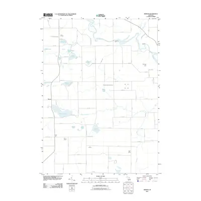
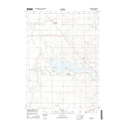
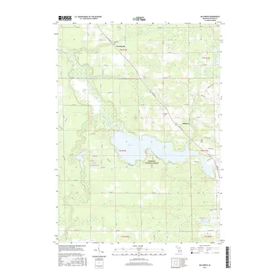
 1981 Millgrove1981 Print · USGSAllegan County's riverfront and conservation lands are captured here in the early eighties as the state game area matured. Genealogists and local historians can trace family sites near Millgrove and Dunningville, or locate the Brookside Cem and Millgrove Cem.
 - 1981 Map of Bloomingdale, 1982 Print
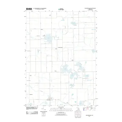
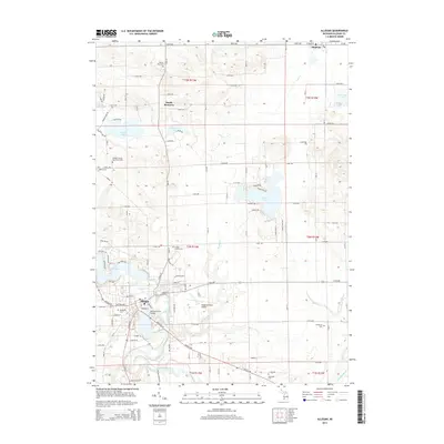
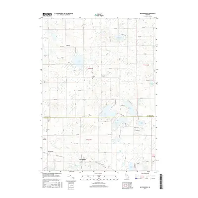
 1981 Bloomingdale1982 Print · USGSThe borderlands of Van Buren and Allegan counties were a patchwork of small farms and numerous glacial lakes in the early eighties. Genealogists can locate several local burial grounds including Spring Grove Cem, Indian Cem, and Packtown Cem.
 - 1981 Map of Merson, 1982 Print
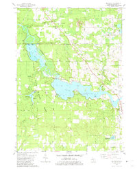
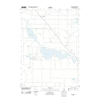
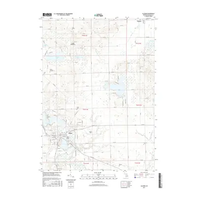
 1981 Merson1982 Print · USGSThe borderlands of Allegan and Van Buren counties are shown in the early eighties as a mix of lakeland recreation and rural industry. Genealogists and local historians can trace family-named sites like Blackman Cem and Earl Cem or locate the Trowbridge Dam along the river.
 - 1982 Map of Kalamazoo, 1983 Print
 1982 Kalamazoo1983 Print · USGSThe Kalamazoo River valley in the early eighties shows a landscape of growing suburban centers and heavy rail infrastructure. Genealogists and researchers can trace the limits of Kalamazoo and Battle Creek or locate landmarks like Fort Custer National Cemetery and Gull Lake.
 - 1984 Map of Grand Rapids
 1984 Grand Rapids1984 Print · USGSWest Michigan in the mid-eighties shows a thriving metropolitan core surrounded by expansive state recreation areas and river valleys. Genealogists and local historians can trace developments around Grand Rapids, institutional landmarks like Grand Rapids Bible College, and the quiet reaches of Jordan Lake.
 - 2011 Map of Allegan, 2011 Print
 2011 Allegan2011 Print · USGSCovers Trowbridge Township, including Allegan, Watson, and other nearby areas
 - 2011 Map of Bloomingdale, 2011 Print
 2011 Bloomingdale2011 Print · USGSCovers Trowbridge Township, including Bloomingdale, Columbia Township, and other nearby areas
 - 2011 Map of Millgrove, 2011 Print
 2011 Millgrove2011 Print · USGSCovers Trowbridge Township, including Cheshire Township, Millgrove, and other nearby areas
 - 2011 Map of Merson, 2011 Print
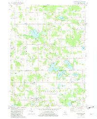
 2011 Merson2011 Print · USGSCovers Trowbridge Township, including Alamo Township, Merson, and other nearby areas
 - 2014 Map of Bloomingdale, 2014 Print
 2014 Bloomingdale2014 Print · USGSCovers Trowbridge Township, including Bloomingdale, Columbia Township, and other nearby areas
 - 2014 Map of Merson, 2014 Print
 2014 Merson2014 Print · USGSCovers Trowbridge Township, including Alamo Township, Merson, and other nearby areas
 - 2014 Map of Allegan, 2014 Print
 2014 Allegan2014 Print · USGSCovers Trowbridge Township, including Allegan, Watson, and other nearby areas
 - 2014 Map of Millgrove, 2014 Print
 2014 Millgrove2014 Print · USGSCovers Trowbridge Township, including Cheshire Township, Millgrove, and other nearby areas
 - 2017 Map of Merson, 2017 Print
 2017 Merson2017 Print · USGSCovers Trowbridge Township, including Alamo Township, Merson, and other nearby areas
 - 2017 Map of Bloomingdale, 2017 Print
 2017 Bloomingdale2017 Print · USGSCovers Trowbridge Township, including Bloomingdale, Columbia Township, and other nearby areas
 - 2017 Map of Millgrove, 2017 Print
 2017 Millgrove2017 Print · USGSCovers Trowbridge Township, including Cheshire Township, Millgrove, and other nearby areas
 - 2017 Map of Allegan, 2017 Print
 2017 Allegan2017 Print · USGSCovers Trowbridge Township, including Allegan, Watson, and other nearby areas
Showing maps 1-25 of 33
Top cities near Trowbridge Township
- Kalamazoo historical maps
- Portage historical maps
- Almena historical maps
- Allegan historical maps
- Alamo historical maps
- Plainwell historical maps
See more
Top neighborhoods of Trowbridge Township
Frequently asked questions
- What are the different types of historical maps available for Trowbridge Township?
- What is the oldest map of Trowbridge Township?
- Where can I purchase historical maps of Trowbridge Township for my home or office?
- Where can I download high-res historical maps of Trowbridge Township?
- Are there historical topographic maps available for Trowbridge Township?
- Is there historical aerial imagery available for Trowbridge Township?
- Where are historical maps of Trowbridge Township sourced from?