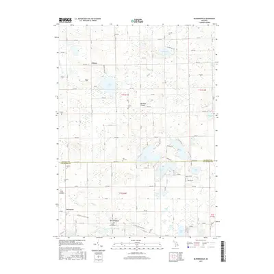
2017 Map of Bloomingdale
USGS Topo · Published 2017About this map
Bloomingdale and Berlamont anchor the southern portion of this landscape, situated along the Kal-Haven Trail State Park. This corridor, a former railroad line, reflects the historical transport patterns that once connected these rural communities in Van Buren County. The terrain is defined by a high density of small glacial lakes and wetlands, including the prominent Eagle Lake and Swan Lake, which influenced the placement of early homesteads and roads.
Find a feature on this map
66 named features on this map. Tap any name to fly to it.
Don’t see what you’re looking for? This feature index may not catch every label — zoom into the map to look around manually.
Map Details
Editions of this 2017 Bloomingdale Map
This is the sole edition of this map. No revisions or reprints were ever made.
Other maps of this area

1927 · Bangor
USGS Topo · 1:62,500

1928 · Fennville
USGS Topo · 1:62,500

1931 · Fennville
USGS Topo · 1:62,500

1931 · Bangor
USGS Topo · 1:62,500

1943 · Bangor
USGS Topo · 1:62,500

1946 · Gobles
USGS Topo · 1:62,500

1948 · Gobles
USGS Topo · 1:62,500

1949 · Gobles
USGS Topo · 1:62,500

1958 · Allegan
USGS Topo · 1:62,500

1958 · Racine
USGS Topo · 1:250,000