
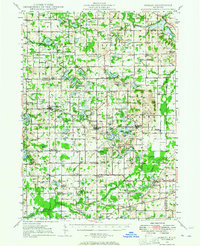
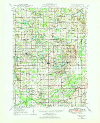
1948 Map of Gobles
USGS Topo · Published 1948About this map
Gobles and the surrounding Van Buren County landscape appear as a dense network of small rural schools and glacial lakes in the years following World War II. The settlement at Mentha sits along the New York Central railroad line, while the southern portion of the map is defined by the winding course of the Paw Paw River and its branches. Notable infrastructure includes the Wolf Lake Fish Hatchery and its associated Rearing Ponds near the Kalamazoo County line. The mapping reveals a highly localized social geography, where nearly every few square miles is anchored by a named schoolhouse, such as the Evergreen Sch, Austin Sch, or Old Pine Grove Sch. Scattered cemeteries like Robinson Cem and crossroad communities like Armstrong Corners provide specific points of interest for genealogists tracing family footprints through this agricultural and lake-rich terrain.
Find a feature on this map
81 named features on this map. Tap any name to fly to it.
Don’t see what you’re looking for? This feature index may not catch every label — zoom into the map to look around manually.
Map Details
Editions of this 1948 Gobles Map
3 editions found
Other maps of this area

1916 · Kalamazoo
USGS Topo · 1:62,500

1918 · Kalamazoo
USGS Topo · 1:62,500

1922 · Schoolcraft
USGS Topo · 1:62,500

1927 · Hartford
USGS Topo · 1:62,500

1927 · Bangor
USGS Topo · 1:62,500

1928 · Fennville
USGS Topo · 1:62,500

1931 · Fennville
USGS Topo · 1:62,500

1931 · Bangor
USGS Topo · 1:62,500

1931 · Hartford
USGS Topo · 1:62,500

1943 · Kalamazoo
USGS Topo · 1:62,500