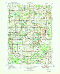
1948 Map of Gobles
USGS Topo · Published 1973About this map
Gobles and the surrounding townships of Bloomingdale and Pine Grove reveal a mid-century landscape defined by an intricate network of glacial kettle lakes and small-scale agriculture. The New York Central railroad serves as the primary artery through the region, connecting the small settlements of Berlamont and Bloomingdale while bypassing the larger concentration of lakes to the north. One of the most curious features is the presence of Mentha, a site that reflects the regional specialization in mint farming on the area's rich muck soils.
Find a feature on this map
147 named features on this map. Tap any name to fly to it.
Don’t see what you’re looking for? This feature index may not catch every label — zoom into the map to look around manually.
Map Details
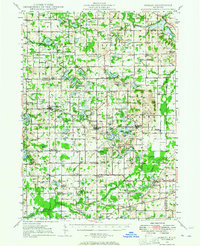
Editions of this 1948 Gobles Map
3 editions found

Other maps of this area

1916 · Kalamazoo
USGS Topo · 1:62,500

1918 · Kalamazoo
USGS Topo · 1:62,500

1922 · Schoolcraft
USGS Topo · 1:62,500

1927 · Hartford
USGS Topo · 1:62,500

1927 · Bangor
USGS Topo · 1:62,500

1928 · Fennville
USGS Topo · 1:62,500

1931 · Fennville
USGS Topo · 1:62,500

1931 · Bangor
USGS Topo · 1:62,500

1931 · Hartford
USGS Topo · 1:62,500

1943 · Kalamazoo
USGS Topo · 1:62,500