Old Maps of Flanders, Michigan for Genealogy
Trace your family roots with 11 historic maps of Flanders. These high-res maps reveal old neighborhoods, homesites, landmarks, and streets — helping you uncover where your ancestors lived and how the area evolved over time.
- Explore historic neighborhoods: Identify where your relatives may have lived in the 1800s or 1900s.
- Compare maps over time: Trace the changes in streets, buildings, and landmarks for multi-generational research.
- Perfect for genealogy & ancestry research: Used by family historians and researchers to map out lineage and migration.
These maps are an incredible resource for exploring your personal connection to Flanders's past.
Flanders, MI maps
(11)- 1954 Map of Alpena, 1978 Print
 1954 Alpena1978 Print · USGSThe northern waters of Lake Huron meet the Ontario islands during the mid-1950s, a time of active coastal shipping and timber management. Genealogists and historians can trace the Detroit and Mackinac rail line through Alpena or locate rural landmarks like St. Catharine Ch and Forty Mile Point.2 unique versions available
 - 1957 Map of Alpena
 1957 Alpena1957 Print · USGSNortheast Michigan and the islands of the North Channel are captured in the mid-1950s, showing the vital maritime and rail connections of the region. Researchers can trace the path of the Detroit and Mackinac RR or locate small settlements like Meldrum Bay and Lachine.
 - 1958 Map of Alpena
 1958 Alpena1958 Print · USGSThe northern reaches of Lake Huron and the Ontario islands are mapped here in the late fifties. You can trace the Detroit and Mackinac RR through Rogers City or locate remote outposts like Meldrum Bay and St. Vital church.
 - 1969 Map of Alpena
 1969 Alpena1969 Print · USGSThe Lake Huron coastline and the Manitoulin islands come alive in this mid-century survey of the Michigan-Ontario border. Genealogists and historians can trace the Detroit and Mackinac rail line through settlements like Lachine and Cathro, or locate the numerous island reservations including Obigewong Indian Reservation No 21.
 - 1971 Map of Lachine, 1974 Print
 1971 Lachine1974 Print · USGSAlpena County at the start of the seventies shows a rural landscape shaped by the Thunder Bay River and early rail corridors. Researchers can locate the Green Sch, trace the Old Railroad Grade, and find small hubs like Lachine and Spratt.
 - 1984 Map of Alpena
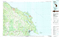 1984 Alpena1984 Print · USGSThe Lake Huron shoreline in the 1980s reveals a region defined by maritime industry, timberlands, and vast inland waters. Genealogists and historians can trace the Detroit and Mackinac Railroad past old settlements like Posen, Hagensville, and the harbor at Rockport.
 - 2011 Map of Lachine, 2011 Print
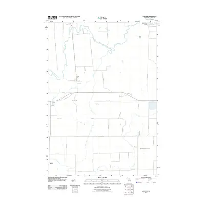 2011 Lachine2011 Print · USGSAlpena County’s rural interior is captured here as it appeared in the early 21st century, centered on the Thunder Bay River valley. Researchers can pinpoint specific local landmarks including the Lachine Post Office, Green Cemetery, and Emerson Station.
 - 2014 Map of Lachine, 2014 Print
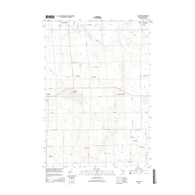 2014 Lachine2014 Print · USGSAlpena County as it appeared in the early 21st century remains a landscape of small crossroads settlements and river valleys. Genealogists and local historians can trace family locations near Long Rapids, Herron, and Green Cem or explore the hills around Manning Hill.
 - 2017 Map of Lachine, 2017 Print
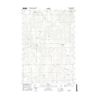 2017 Lachine2017 Print · USGSAlpena County's agricultural heartland is documented here in the early twenty-first century, showing the transition of old rail corridors into public paths. Researchers can locate family sites near Long Rapids or trace the Hillman-Alpena State Trail past Lachine and Emerson Station.
 - 2019 Map of Lachine, 2019 Print
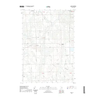 2019 Lachine2019 Print · USGSAlpena County as it appeared in the late 2010s shows a quiet landscape of rural townships and winding river bends. Trace local history through family-named sites and landmarks like Manning Hill, Herron Saint Rose's Cem, and the old rail corridor of the Hillman-Alpena State Trail.
 - 2023 Map of Lachine, 2023 Print
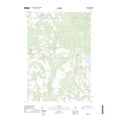 2023 Lachine2023 Print · USGSAlpena County's interior settlements and rural farmsteads are documented in this recent survey of northern Michigan. Genealogists and local historians can trace family locations near Lachine, Emerson Station, and the Herron Saint Rose's Cem.
End of results
Showing maps 1-11 of 11
Top cities near Flanders
Frequently asked questions
- What are the different types of historical maps available for Flanders?
- What is the oldest map of Flanders?
- Where can I purchase historical maps of Flanders for my home or office?
- Where can I download high-res historical maps of Flanders?
- Are there historical topographic maps available for Flanders?
- Is there historical aerial imagery available for Flanders?
- Where are historical maps of Flanders sourced from?