2000s (21st Century) Maps of Star Township, Michigan
Explore 20 historic maps of Star Township from the 2000s (21st Century). These maps offer a rare glimpse into what life looked like during the 2000s — showing old roads, neighborhoods, homes, and landmarks that have changed or disappeared over time.
Whether you're researching your family's past, planning a metal detecting trip, or studying how Star Township's landscape evolved across the 2000s, these high-resolution maps are a powerful tool for exploring the history of this region.
- Focus on a specific era: All maps on this page are from the 2000s, giving you a focused view of this time period.
- See what’s changed: Compare century-old streets, trails, and buildings to today's modern landscape using overlays and satellite layers.
- Research with precision: Use these maps for genealogy, historical research, land use analysis, or educational projects.
- View, download, or print: Maps are fully viewable online in high resolution, and can be downloaded or printed for your own records.
Start exploring Star Township's history through authentic maps from the 2000s. This is your window into the past.
Star Township, MI maps
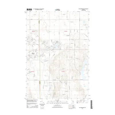
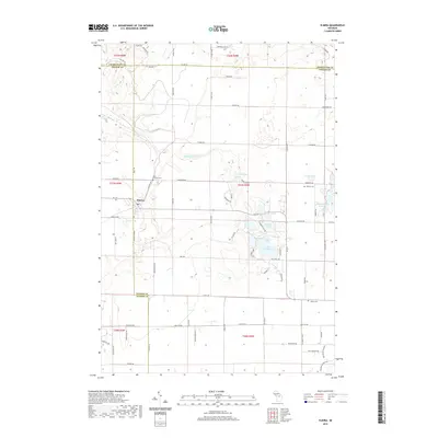
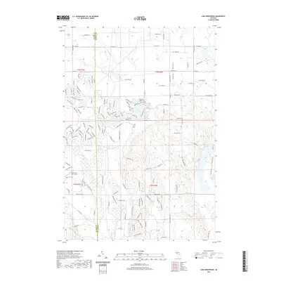
(20)- 2011 Map of Lake Arrowhead, 2011 Print
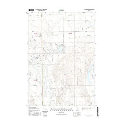
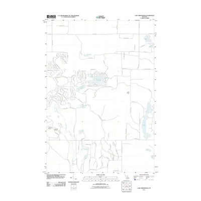 2011 Lake Arrowhead2011 Print · USGSCovers Star Township, including Mancelona Township, Hayes Township, and other nearby areas
 - 2011 Map of Elmira, 2011 Print
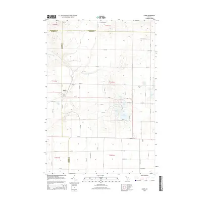
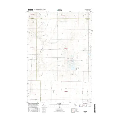
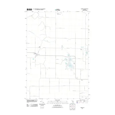 2011 Elmira2011 Print · USGSCovers Star Township, including Elmira, Elmira Township, and other nearby areas
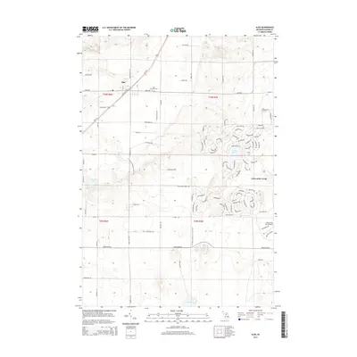
 - 2011 Map of Alba, 2011 Print
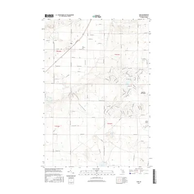
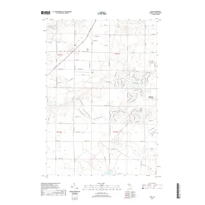
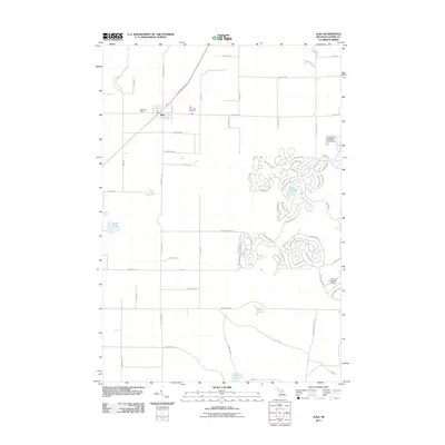 2011 Alba2011 Print · USGSCovers Star Township, including Chestonia Township, Mancelona Township, and other nearby areas
 - 2011 Map of Deadmans Hill, 2011 Print
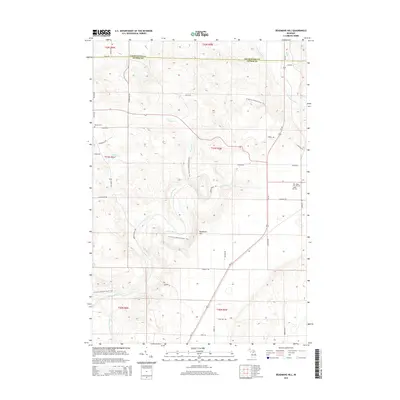
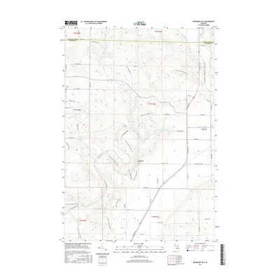
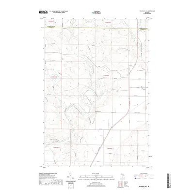
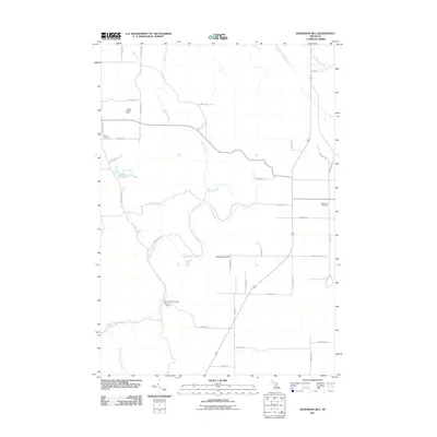 2011 Deadmans Hill2011 Print · USGSCovers Star Township, including Wilson Township, Warner Township, and other nearby areas
 - 2014 Map of Lake Arrowhead, 2014 Print
 2014 Lake Arrowhead2014 Print · USGSCovers Star Township, including Mancelona Township, Hayes Township, and other nearby areas
 - 2014 Map of Alba, 2014 Print
 2014 Alba2014 Print · USGSCovers Star Township, including Chestonia Township, Mancelona Township, and other nearby areas
 - 2014 Map of Deadmans Hill, 2014 Print
 2014 Deadmans Hill2014 Print · USGSCovers Star Township, including Wilson Township, Warner Township, and other nearby areas
 - 2014 Map of Elmira, 2014 Print
 2014 Elmira2014 Print · USGSCovers Star Township, including Elmira, Elmira Township, and other nearby areas
 - 2017 Map of Alba, 2017 Print
 2017 Alba2017 Print · USGSCovers Star Township, including Chestonia Township, Mancelona Township, and other nearby areas
 - 2017 Map of Elmira, 2017 Print
 2017 Elmira2017 Print · USGSCovers Star Township, including Elmira, Elmira Township, and other nearby areas
 - 2017 Map of Deadmans Hill, 2017 Print
 2017 Deadmans Hill2017 Print · USGSCovers Star Township, including Wilson Township, Warner Township, and other nearby areas
 - 2017 Map of Lake Arrowhead, 2017 Print
 2017 Lake Arrowhead2017 Print · USGSCovers Star Township, including Mancelona Township, Hayes Township, and other nearby areas
 - 2019 Map of Alba, 2019 Print
 2019 Alba2019 Print · USGSCovers Star Township, including Chestonia Township, Mancelona Township, and other nearby areas
 - 2019 Map of Elmira, 2019 Print
 2019 Elmira2019 Print · USGSCovers Star Township, including Elmira, Elmira Township, and other nearby areas
 - 2019 Map of Deadmans Hill, 2019 Print
 2019 Deadmans Hill2019 Print · USGSCovers Star Township, including Wilson Township, Warner Township, and other nearby areas
 - 2019 Map of Lake Arrowhead, 2019 Print
 2019 Lake Arrowhead2019 Print · USGSCovers Star Township, including Mancelona Township, Hayes Township, and other nearby areas
 - 2023 Map of Deadmans Hill, 2023 Print
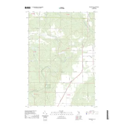 2023 Deadmans Hill2023 Print · USGSAntrim and Charlevoix counties meet in this 2023 survey of the northern Michigan highlands. Local historians can trace the Jordan River valley from Deadmans Hill to the Jordan River National Fish Hatchery, while locating family sites at Brown Cem.
 - 2023 Map of Elmira, 2023 Print
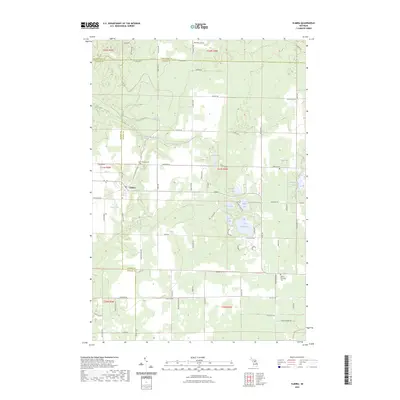 2023 Elmira2023 Print · USGSOtsego County's high country is captured here during the early twenty-first century, centered on the settlement of Elmira. Genealogists and local historians can locate several burial grounds including Saint Thomas Cem and Hayes Township Cem among the region's many glacial lakes.
 - 2023 Map of Lake Arrowhead, 2023 Print
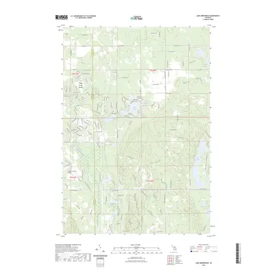 2023 Lake Arrowhead2023 Print · USGSOtsego County during the early twenty-first century reveals a landscape shaped by both private development and protected woodlands. Researchers can trace the layout of Lakes of the North and find secluded water bodies like Buhl Lakes and Lake Washwomen.
 - 2023 Map of Alba, 2023 Print
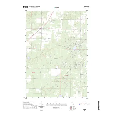 2023 Alba2023 Print · USGSAlba and the surrounding townships of Antrim County are shown in this recent survey during a period of modern recreational growth. Genealogists can locate Star Township Cem and Chestonia Township Cem, while others may trace the winding North Country National Scenic Trl past Five Lake.
End of results
Showing maps 1-20 of 20
Top cities near Star Township
- Gaylord historical maps
- Boyne City historical maps
- Otsego Lake historical maps
- East Jordan historical maps
- Elmira historical maps
- Frederic historical maps
See more
Frequently asked questions
- What are the different types of historical maps available for Star Township?
- What is the oldest map of Star Township?
- Where can I purchase historical maps of Star Township for my home or office?
- Where can I download high-res historical maps of Star Township?
- Are there historical topographic maps available for Star Township?
- Is there historical aerial imagery available for Star Township?
- Where are historical maps of Star Township sourced from?