Old Maps of Antrim County, Michigan
Explore 37 old maps of Antrim County, spanning from 1954 to today. These high-resolution historic maps reveal how streets, neighborhoods, landmarks, and natural features evolved over time — perfect for genealogy, metal detecting, research, and local history exploration.
What you can do with these maps:
- See how Antrim County changed over time: Compare historical maps to modern-day views to trace roads, homesites, rail lines & more.
- View detailed metadata: Each map includes creators, publishers, year, scale, and archive source.
- Overlay maps with satellite & LiDAR: Visualize the past alongside modern tools to explore terrain & human change.
- Trusted historical sources: Maps sourced from the USGS, Library of Congress, and other archives.
- Access maps your way: View online, download high-res files, or order prints for personal or research use.
Start exploring old maps of Antrim County to uncover forgotten places, hidden landmarks, and the deep history beneath your feet.
Antrim County, MI maps
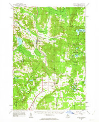
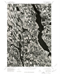
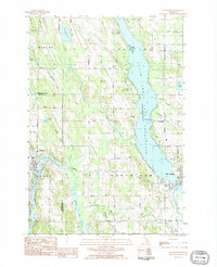
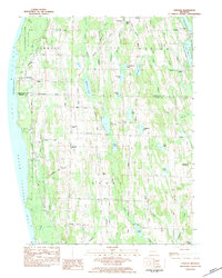
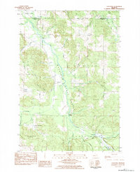
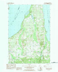
(37)- 1954 Map of Central Lake, 1955 Print
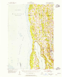 1954 Central Lake1955 Print · USGSCovers Antrim County, including Peninsula Township, Torch Lake, and other nearby areas2 unique versions available
 - 1954 Map of Traverse City, 1965 Print
 1954 Traverse City1965 Print · USGSCovers Antrim County, including Garfield Township, Garfield Charter Township, and other nearby areas4 unique versions available
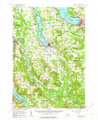
 - 1955 Map of Cheboygan, 1964 Print
 1955 Cheboygan1964 Print · USGSCovers Antrim County, including Petoskey, Peninsula Township, and other nearby areas5 unique versions available
 - 1956 Map of Alba
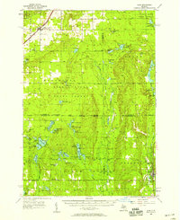 1956 Alba1956 Print · USGSCovers Antrim County, including Frederic, Hayes Township, and other nearby areas3 unique versions available
 - 1956 Map of Mancelona, 1957 Print
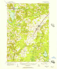 1956 Mancelona1957 Print · USGSCovers Antrim County, including Kalkaska, Mancelona, and other nearby areas4 unique versions available
 - 1957 Map of Elk Rapids, 1958 Print
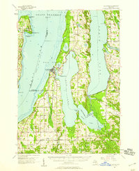 1957 Elk Rapids1958 Print · USGSCovers Antrim County, including Peninsula Township, Acme Township, and other nearby areas2 unique versions available
 - 1958 Map of Cheboygan
 1958 Cheboygan1958 Print · USGSCovers Antrim County, including Petoskey, Peninsula Township, and other nearby areas2 unique versions available
 - 1958 Map of Traverse City
 1958 Traverse City1958 Print · USGSCovers Antrim County, including Garfield Township, Garfield Charter Township, and other nearby areas2 unique versions available
 - 1961 Map of Boyne Falls, 1963 Print
 1961 Boyne Falls1963 Print · USGSCovers Antrim County, including Boyne City, Elmira, and other nearby areas2 unique versions available
 - 1961 Map of Boyne City, 1963 Print
 1961 Boyne City1963 Print · USGSCovers Antrim County, including Boyne City, East Jordan, and other nearby areas2 unique versions available
 - 1975 Map of Mancelona NE, 1976 Print
 1975 Mancelona NE1976 Print · USGSCovers Antrim County, including Mancelona, Chestonia Township, and other nearby areas
 - 1975 Map of Mancelona NW, 1976 Print
 1975 Mancelona NW1976 Print · USGSCovers Antrim County, including Bellaire, Kearney Township, and other nearby areas
 - 1975 Map of Boyne City NW, 1976 Print
 1975 Boyne City NW1976 Print · USGSCovers Antrim County, including East Jordan, Ellsworth, and other nearby areas
 - 1982 Map of Petoskey
 1982 Petoskey1982 Print · USGSCovers Antrim County, including Petoskey, Gaylord, and other nearby areas
 - 1983 Map of Ellsworth, 1984 Print
 1983 Ellsworth1984 Print · USGSCovers Antrim County, including East Jordan, Ellsworth, and other nearby areas
 - 1983 Map of Atwood, 1984 Print
 1983 Atwood1984 Print · USGSCovers Antrim County, including Ellsworth, Marion Township, and other nearby areas2 unique versions available
 - 1983 Map of Chestonia, 1984 Print
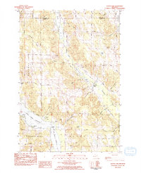
 1983 Chestonia1984 Print · USGSCovers Antrim County, including Chestonia, Chestonia Township, and other nearby areas
 - 1983 Map of Central Lake, 1984 Print
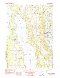 1983 Central Lake1984 Print · USGSCovers Antrim County, including Torch Lake, Central Lake, and other nearby areas
 - 1983 Map of Traverse City, 1984 Print
 1983 Traverse City1984 Print · USGSCovers Antrim County, including Garfield Township, Garfield Charter Township, and other nearby areas2 unique versions available
 - 1983 Map of Elk Rapids, 1984 Print
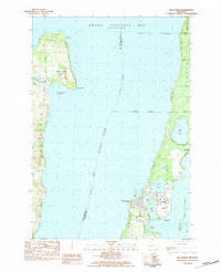 1983 Elk Rapids1984 Print · USGSCovers Antrim County, including Peninsula Township, Elk Rapids, and other nearby areas
 - 1983 Map of Alden, 1984 Print
 1983 Alden1984 Print · USGSCovers Antrim County, including Helena Township, Milton Township, and other nearby areas
 - 1983 Map of Grayling, 1984 Print
 1983 Grayling1984 Print · USGSCovers Antrim County, including Gaylord, Otsego Lake, and other nearby areas2 unique versions available
 - 1983 Map of Scotts Lake, 1984 Print
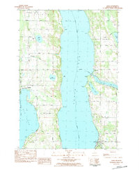
 1983 Scotts Lake1984 Print · USGSCovers Antrim County, including Central Lake, Central Lake Township, and other nearby areas
 - 1983 Map of Torch River, 1984 Print
 1983 Torch River1984 Print · USGSCovers Antrim County, including Whitewater Township, Rapid City, and other nearby areas
 - 1983 Map of Williamsburg, 1984 Print
 1983 Williamsburg1984 Print · USGSCovers Antrim County, including Peninsula Township, Acme Township, and other nearby areas
Showing maps 1-25 of 37
Top cities of Antrim County
Frequently asked questions
- What are the different types of historical maps available for Antrim County?
- What is the oldest map of Antrim County?
- Where can I purchase historical maps of Antrim County for my home or office?
- Where can I download high-res historical maps of Antrim County?
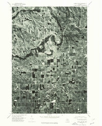
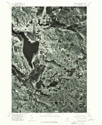
- Are there historical topographic maps available for Antrim County?
- Is there historical aerial imagery available for Antrim County?
- Where are historical maps of Antrim County sourced from?