Old Maps of Deep River Township, Michigan for Metal Detecting
Plan your next treasure hunt with 39 historic maps of Deep River Township. Find old homesites, ghost towns, trails, and gathering spots that may be lost to time — perfect for identifying promising metal detecting locations.
- Locate forgotten sites: Uncover places like long-lost settlements, abandoned rail lines, or gathering spots.
- Plan better hunts: Use map overlays combined with LiDAR or satellite views to narrow in on historically rich areas.
- Made for detectorists: Thousands of hobbyists use these maps to discover relics, coins, and hidden history.
Use these historic maps to boost your research and find new opportunities beneath the surface of Deep River Township.
Deep River Township, MI maps
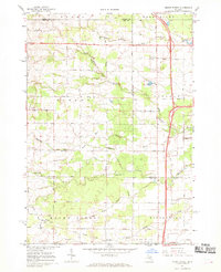
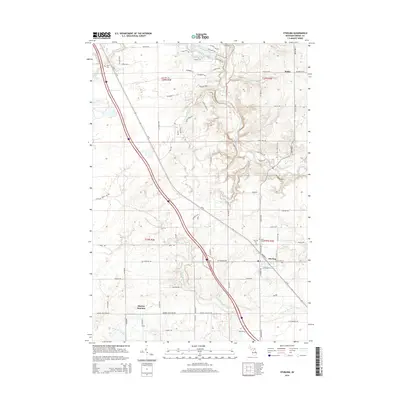
(39)- 1954 Map of Traverse City, 1965 Print
 1954 Traverse City1965 Print · USGSNorthern Michigan’s vast lakeshores and timberlands are captured here in the mid-fifties, showing the region before the modern interstate era. Genealogists and researchers can trace rail connections like the Detroit and Mackinac RR or find old communities such as Suttons Bay, Elk Rapids, and Prudenville.4 unique versions available
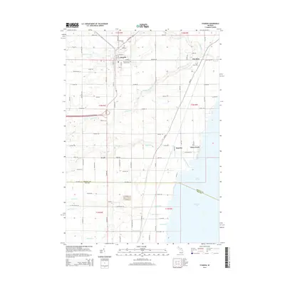
 - 1954 Map of Midland, 1967 Print
 1954 Midland1967 Print · USGSMid-Michigan at the peak of the post-war era shows a landscape balancing industrial growth in Midland with the deep timberlands of the Manistee National Forest. Researchers can trace the legacy of the timber and rail era along the Pennsylvania RR or find family roots in river towns like Chesaning and Big Rapids.4 unique versions available
 - 1954 Map of Flint, 1968 Print
 1954 Flint1968 Print · USGSThe industrial corridor and fertile Thumb region of Michigan come alive in this mid-century survey. Genealogists and historians can trace the rail networks of the Grand Trunk, locate established settlements like Bad Axe and Sandusky, or explore the 1950s shoreline along Saginaw Bay.4 unique versions available
 - 1954 Map of Tawas City, 1968 Print
 1954 Tawas City1968 Print · USGSCoastal life along Lake Huron was defined by a mix of military aviation and hydroelectric power in the mid-fifties. Researchers can trace the river dams like Cooke Dam, the layout of Wurtsmith AFB, and the coastal mining operations at Alabaster.4 unique versions available
 - 1958 Map of Traverse City
 1958 Traverse City1958 Print · USGSNorthern Lower Michigan was a landscape of vast state forests and burgeoning lakeside retreats in the late fifties. Genealogists and historians can trace the rail corridors of the Ann Arbor RR and find established settlements from Elk Rapids to Houghton Lake.2 unique versions available
 - 1958 Map of Flint
 1958 Flint1958 Print · USGSThe Michigan Thumb and the Saginaw Valley are captured here during the height of the post-war industrial era. Researchers can trace the complex rail networks of the Grand Trunk Western or locate mid-century landmarks like Lakeport State Park and the port at Bay City.2 unique versions available
 - 1958 Map of Tawas City
 1958 Tawas City1958 Print · USGSThe Lake Huron shoreline and northern Michigan timberlands come into focus in the late fifties, during the expansion of the Cold War. Genealogists and historians can trace rail lines like the Detroit and Mackinac, find regional landmarks like the Lumbermans Memorial Monument, and locate coastal facilities including Wurtsmith AFB.2 unique versions available
 - 1958 Map of Midland
 1958 Midland1958 Print · USGSCentral Michigan in the late fifties is captured here during a period of transition for its university towns and industrial hubs. Genealogists and researchers can trace family lines through old rail-stop towns like Breckenridge and Chesaning or locate property near the Muskegon River and Prairie Farm.
 - 1959 Map of Midland
 1959 Midland1959 Print · USGSMid-century Michigan comes alive in this survey of the central Lower Peninsula, from the streets of Grand Rapids to the Houghton Lake timberlands. Genealogists and rail fans can trace the Ann Arbor RR and Chesapeake and Ohio RR through towns like Big Rapids and Mount Pleasant.
 - 1966 Map of Midland
 1966 Midland1966 Print · USGSCentral Michigan in the mid-1960s shows a landscape of growing manufacturing hubs and active resource extraction. Genealogists and historians can trace the rail corridors of the Grand Trunk Western or locate family-named landmarks near Oil wells and the Muskegon River.
 - 1967 Map of Mount Forest, 1969 Print
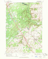
 1967 Mount Forest1969 Print · USGSBay and Arenac counties appear here in the late sixties, showing a landscape defined by drainage canals and the regional oil industry. Genealogists can trace family roots through settlements like Johnsfield and landmarks such as the Bethlehem Ch and Mount Forest.2 unique versions available
 - 1967 Map of Standish, 1969 Print
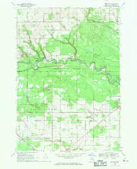
 1967 Standish1969 Print · USGSStandish at the close of the 1960s serves as a busy crossroads for the Detroit and Mackinac and Penn Central railroads. Genealogists can locate family names at Woodmere Cem and St Johns Cem, or trace the shoreline from Whites Beach to Saganing.3 unique versions available
 - 1968 Map of Omer SW, 1971 Print
 1968 Omer SW1971 Print · USGSArenac County lands are captured here in the late sixties as agricultural grids meet the woods of the Tittabawassee River State Forest. Researchers can locate family landmarks like Knights Mill, the Evergreen Cem, and the Penn Central railroad corridor.2 unique versions available
 - 1968 Map of Sterling, 1971 Print
 1968 Sterling1971 Print · USGSArenac County as it appeared in the late sixties reveals a landscape of working oil fields and small railway towns. Genealogists can trace family footprints near Alger and Sterling, locating landmarks like the Alger Cem and the Penn Central tracks.2 unique versions available
 - 1983 Map of Houghton Lake, 1984 Print
 1983 Houghton Lake1984 Print · USGSIn the early 1980s, the Michigan heartland around Houghton Lake was a patchwork of state forest and growing lakeside resorts. Genealogists and historians can trace the development of communities like West Branch and Rose City alongside landmarks like Roscommon County Airfield.
 - 1984 Map of Midland, 1985 Print
 1984 Midland1985 Print · USGSMid-Michigan's industrial and forest lands come into focus in the mid-eighties, centered on the growing hubs of Midland and Mount Pleasant. Genealogists and historians can trace the Chesapeake and Ohio rail corridor through small towns like Rosebush and Edenville.2 unique versions available
 - 1984 Map of Tawas City, 1985 Print
 1984 Tawas City1985 Print · USGSNortheast Michigan's shoreline and forest interior are captured here in the mid-eighties, from the active runways of Wurtsmith Air Force Base to the quiet waters of Tawas Bay. Genealogists and local historians can locate rural landmarks like Skunk Sch, the Welcome Church, and the route of the Detroit and Mackinac railroad.3 unique versions available
 - 1984 Map of Bay City, 1985 Print
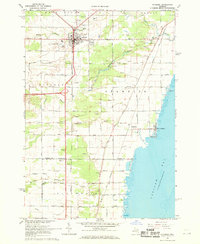
 1984 Bay City1985 Print · USGSSaginaw Bay and the surrounding Michigan thumb region are captured in the mid-1980s, showing a landscape defined by industrial riverfronts and expanding lakeside parks. Researchers can trace family roots through landmarks like Floral Gardens Cem or follow the Chesapeake and Ohio rail lines through towns like Bad Axe and Pigeon.
 - 1989 Map of Traverse City, 1990 Print
 1989 Traverse City1990 Print · USGSNorthern Michigan’s lake-country and forest lands are captured in the late eighties as seasonal tourism and timber hubs expanded. Genealogists and historians can trace the routes of the Ann Arbor RR, the boundaries of Camp Grayling, and settlements like Elk Rapids and Manton.
 - 2011 Map of Omer SW, 2011 Print
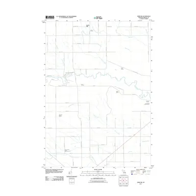 2011 Omer SW2011 Print · USGSCovers Deep River Township, including Arenac Township, Knights Mill, and other nearby areas
 - 2011 Map of Sterling, 2011 Print
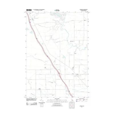 2011 Sterling2011 Print · USGSCovers Deep River Township, including Sterling, Morres Junction, and other nearby areas
 - 2011 Map of Mount Forest, 2011 Print
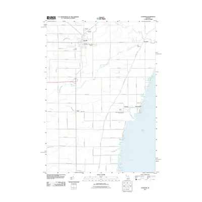
 2011 Mount Forest2011 Print · USGSCovers Deep River Township, including Mount Forest, Mount Forest Township, and other nearby areas
 - 2011 Map of Standish, 2011 Print
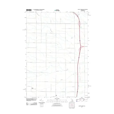
 2011 Standish2011 Print · USGSCovers Deep River Township, including Standish, Arenac Township, and other nearby areas
 - 2014 Map of Sterling, 2014 Print
 2014 Sterling2014 Print · USGSCovers Deep River Township, including Sterling, Morres Junction, and other nearby areas
 - 2014 Map of Standish, 2014 Print
 2014 Standish2014 Print · USGSCovers Deep River Township, including Standish, Arenac Township, and other nearby areas
Showing maps 1-25 of 39
Top cities near Deep River Township
- Skidway Lake historical maps
- Standish historical maps
- Mount Forest historical maps
- Pinconning historical maps
- Arenac historical maps
- Sterling historical maps
See more
Top neighborhoods of Deep River Township
Frequently asked questions
- What are the different types of historical maps available for Deep River Township?
- What is the oldest map of Deep River Township?
- Where can I purchase historical maps of Deep River Township for my home or office?
- Where can I download high-res historical maps of Deep River Township?
- Are there historical topographic maps available for Deep River Township?
- Is there historical aerial imagery available for Deep River Township?
- Where are historical maps of Deep River Township sourced from?